Ninska Designs
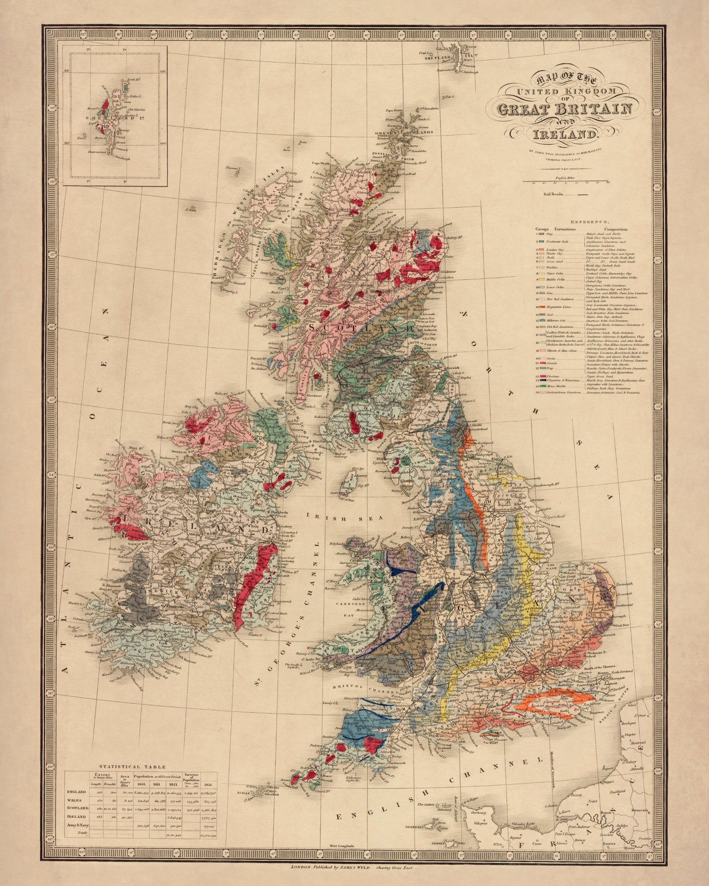
Geological Map of the British Islands dated 1840
Geological Map of the British Islands dated 1840
Couldn't load pickup availability
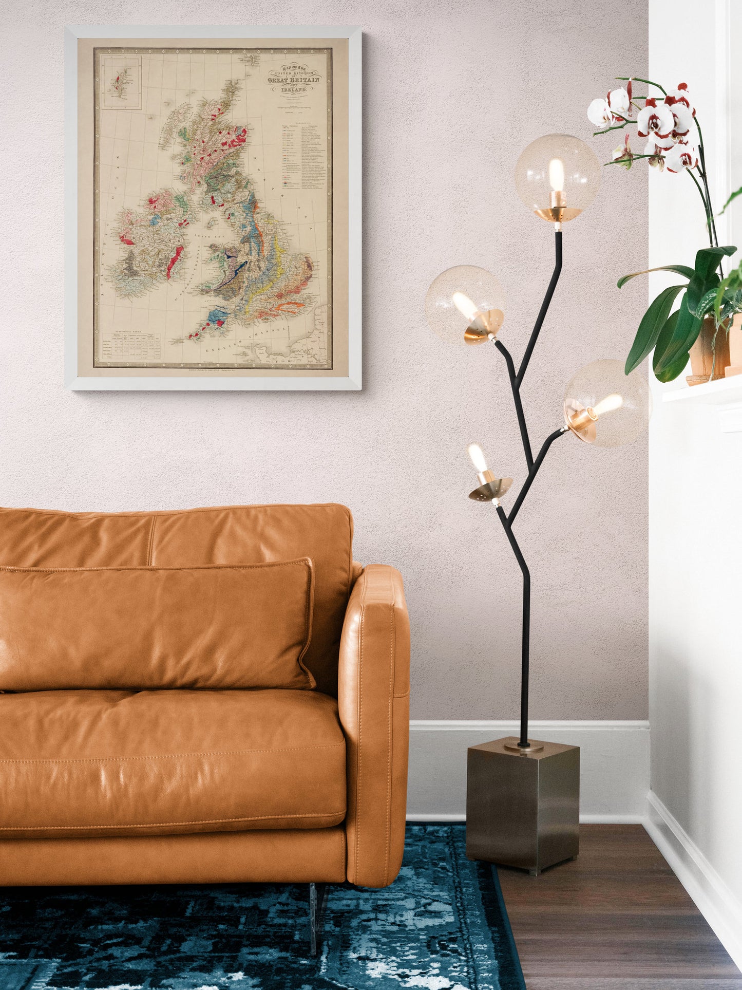
Britain’s geology is like a layered history book — chalk downs, granite highs, coal seams and ancient seabeds — and Victorian mapmakers were obsessed with putting that story on paper. This 1840 geological map of the British Isles is a wonderfully detailed piece of vintage cartography, originally created to help make sense of the ground beneath our feet (and, in an age of mines and railways, that really mattered). A striking antique-style wall map for a study, library, hallway, or anyone who loves Britain’s landscapes and scientific history.
This is an edited reproduction made from antique/public domain source imagery.
Print quality
Printed on 300gsm fine art cotton rag paper using archival pigment-based inks for superb quality and longevity.
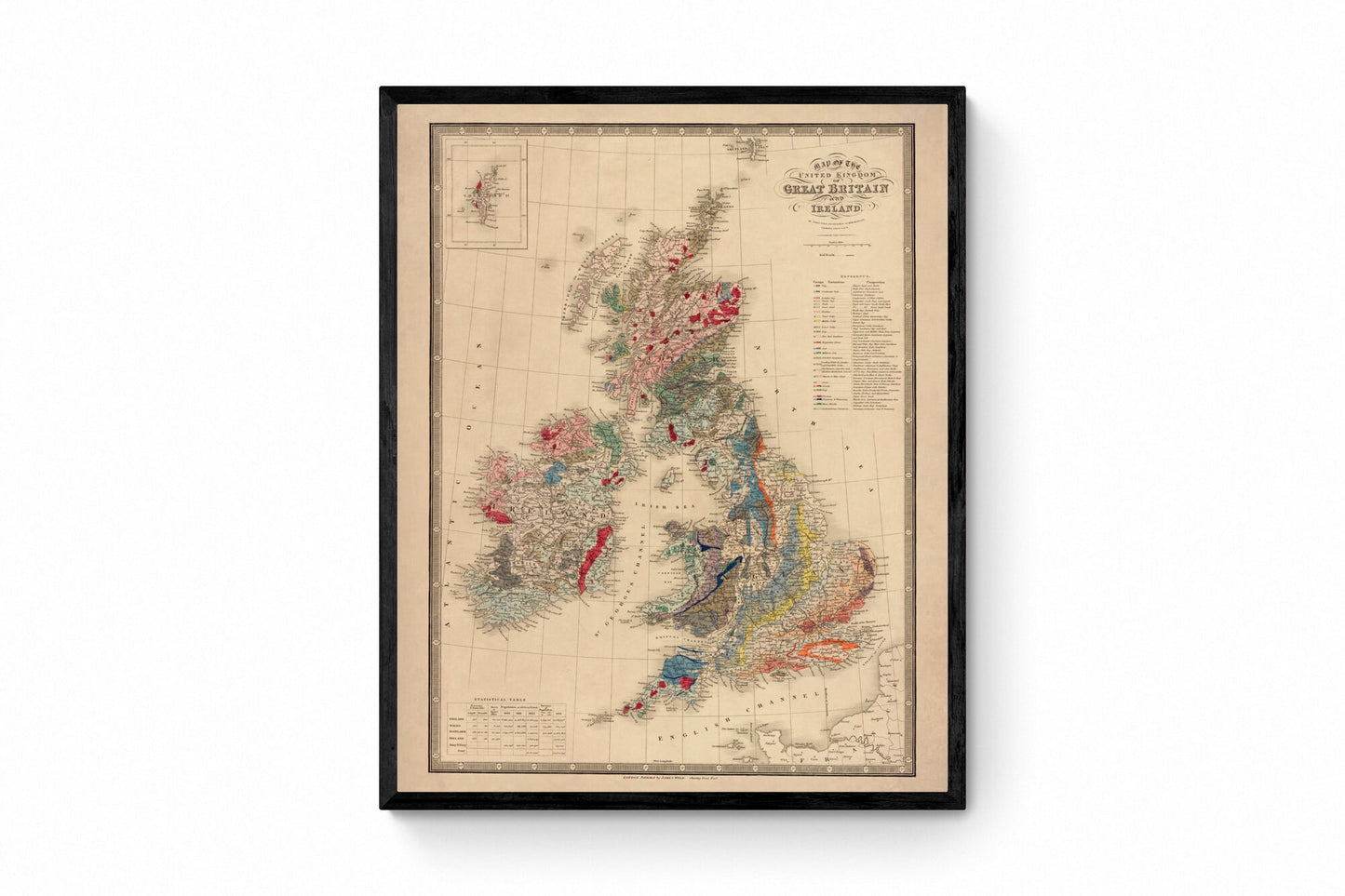
Mounting & Framing
Mounts are antique white by default, but you may request black when ordering (please note this in your order).
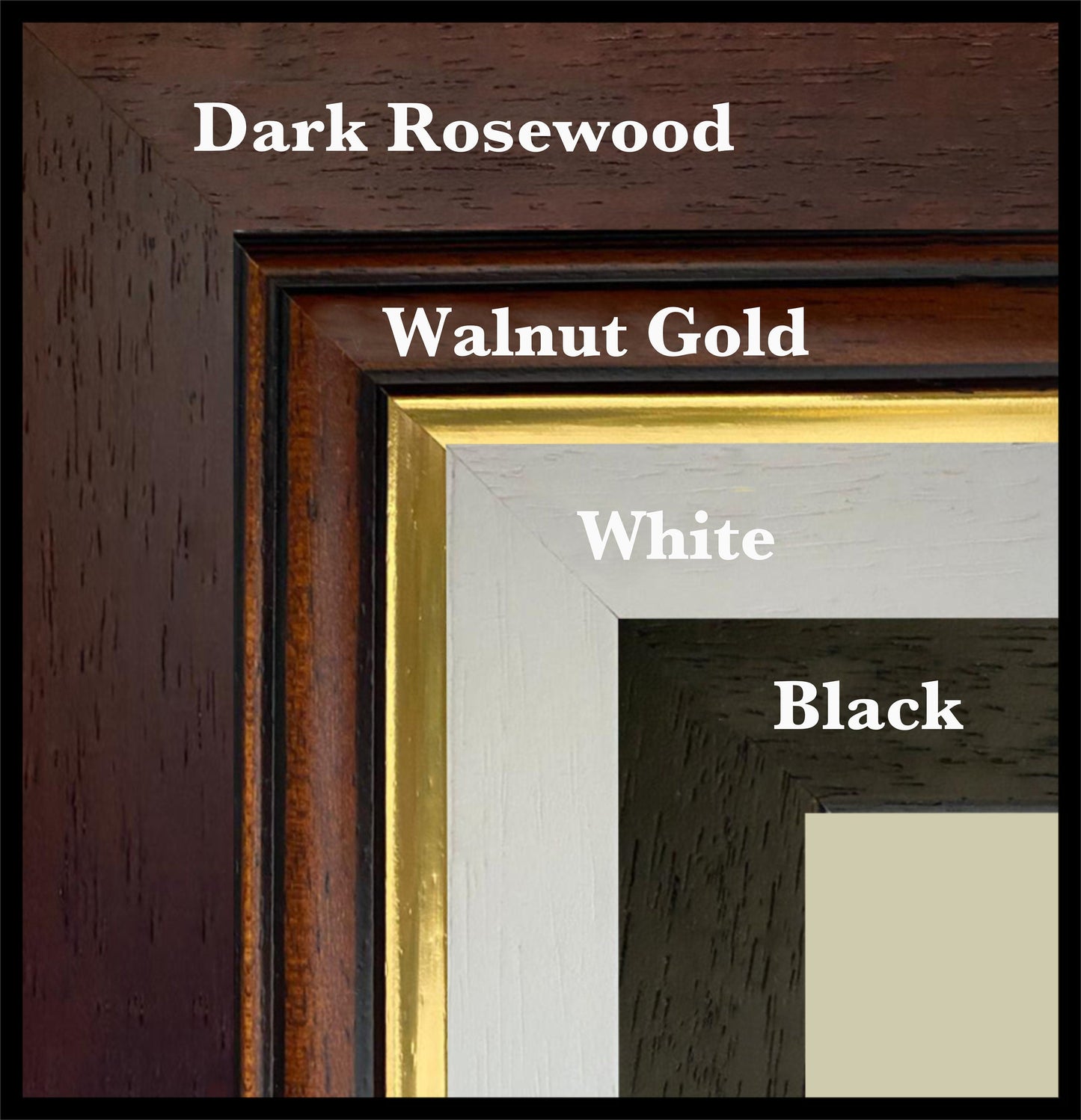
Our solid wood frames are made in the UK and finished with care. Frame options (dimensions):
• Black/White: 20mm wide, 15mm deep
• Dark Rosewood: 35mm wide, 15mm deep
• Walnut Gold: 28mm wide, 14mm deep
Frames include perspex glazing and MDF backs. As wood is a natural material, variations in tone and grain may occur.
Not all sizes are available mounted. Sizes refer to the print area.
Share