Ninska Designs
Geological Map of the British Isles Map
Geological Map of the British Isles Map
Couldn't load pickup availability
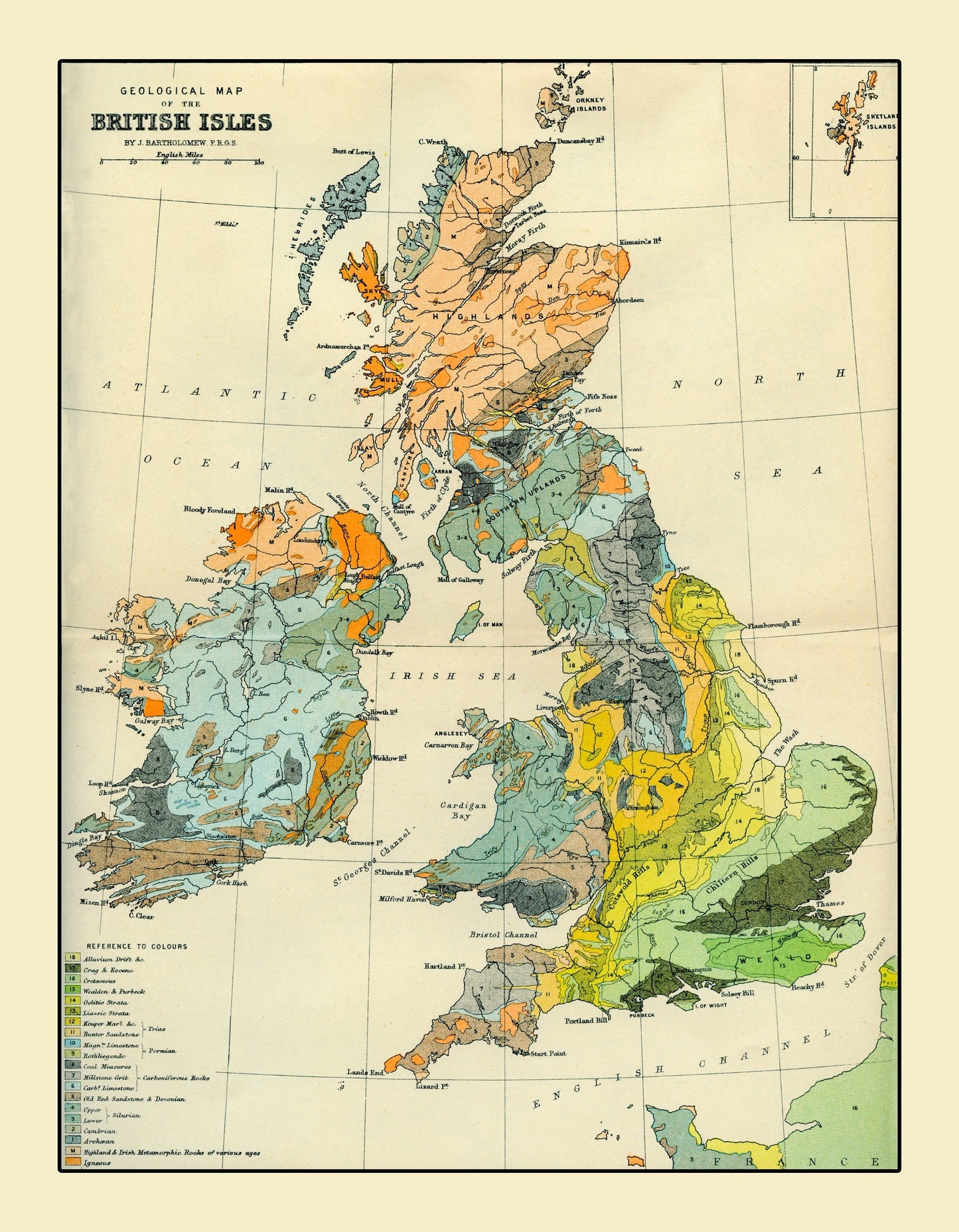
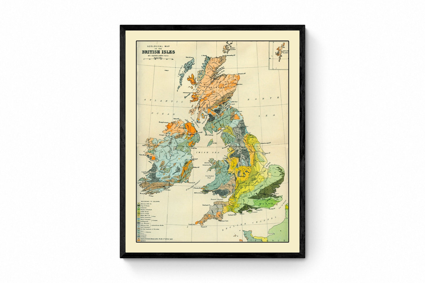
Bring a striking piece of Victorian science to your walls with this Geological Map of the British Isles — a beautifully detailed antique-style map showing Britain and Ireland through the lens of early geological study. With its richly coloured strata, classic cartographic layout, and technical detail, it’s a fascinating piece of vintage scientific wall art for collectors of antique maps, geology prints, and 19th-century educational illustrations.
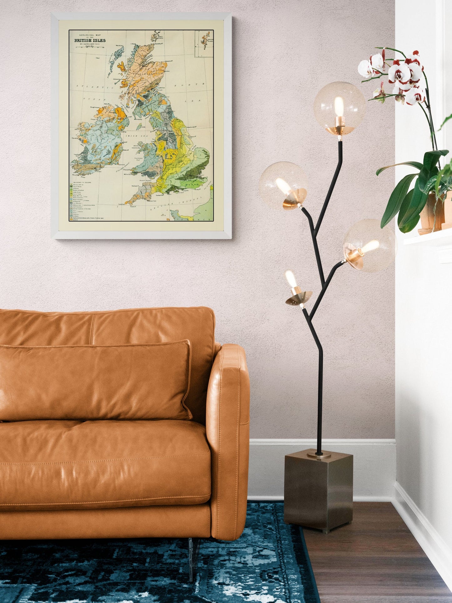
Originally created to visualise the underlying structure of the land, this map reflects the period’s growing fascination with earth sciences and exploration. It makes a bold and intelligent statement in a study, office, library, classroom, or gallery wall — particularly appealing to geologists, academics, and lovers of historic science.
This is an edited reproduction of an antique print, created using antique and public domain source imagery.
Print quality
Printed on 300gsm fine art cotton rag paper using archival pigment-based inks for superb detail and longevity.
Mounting & Framing
Mounts are antique white by default (black mounts are available — leave a note with your order if you prefer black).
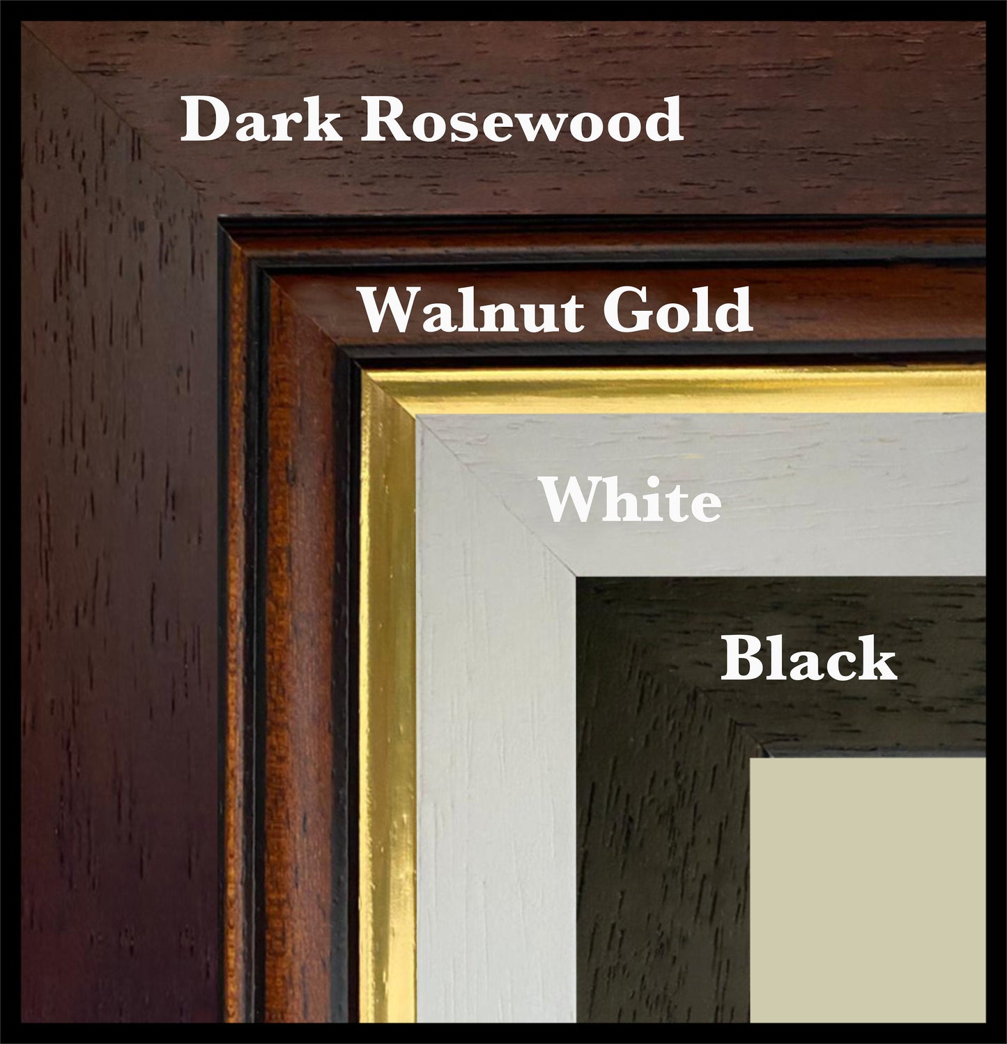
Frame details:
• Black/White — 20mm wide, 15mm deep
• Dark Rosewood — 35mm wide, 15mm deep
• Walnut Gold — 28mm wide, 14mm deep
Frames include perspex glazing and MDF backs. As wood is a natural material, variations in tone and grain may occur.
Not all sizes are available mounted. Sizes refer to the print area.
Share