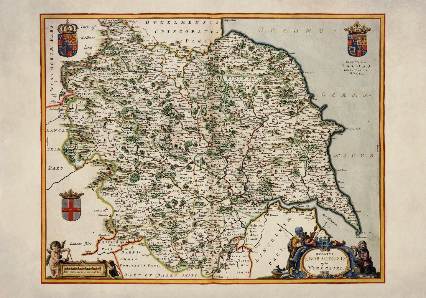
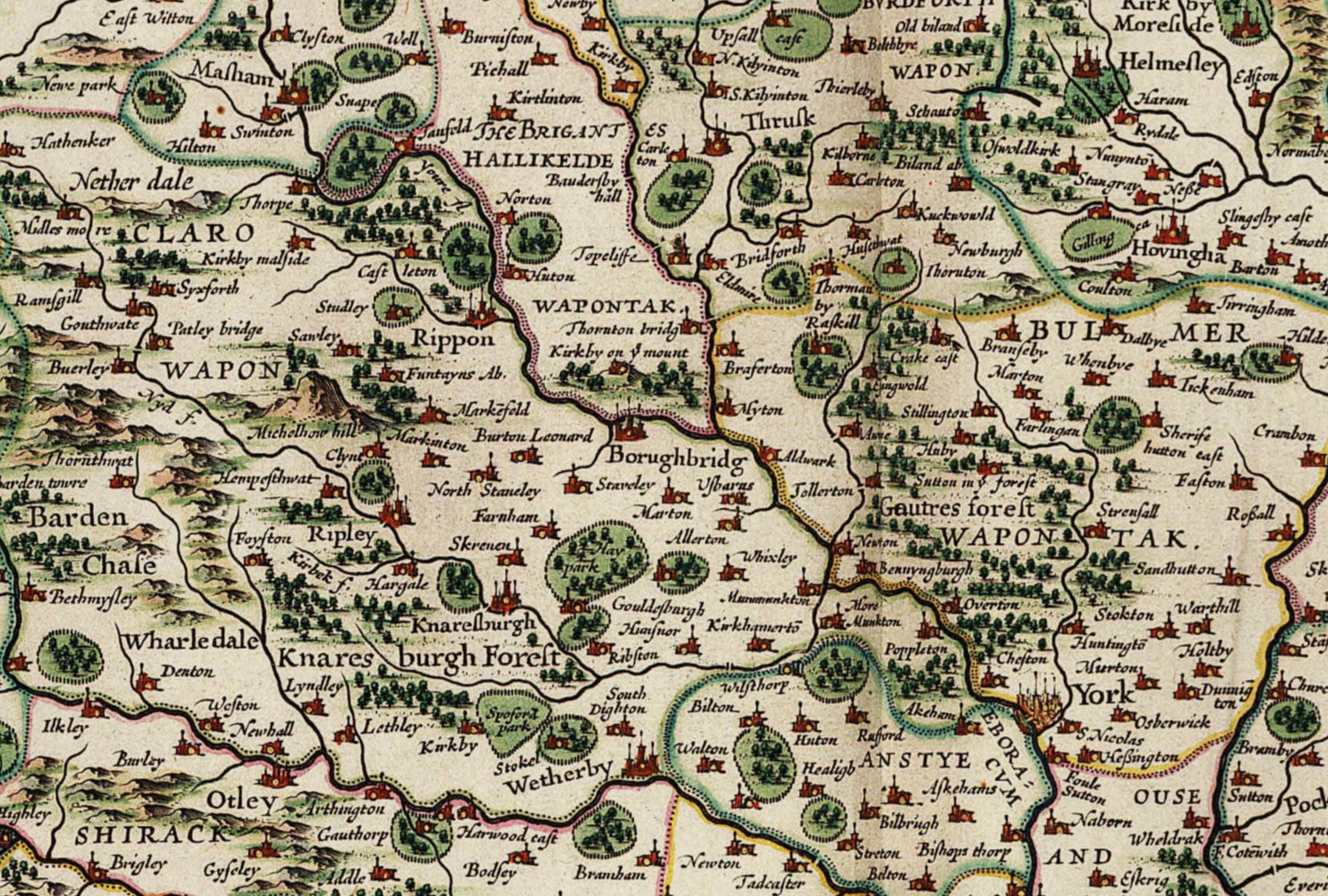
Step back into 17th-century Yorkshire with this beautifully detailed 1645 county map, created for the famed Atlas Van der Hagen. Rolling countryside, winding roads and old place names are all captured in fine engraving, giving you a charming glimpse of the county as early map-makers knew it – historic, rugged and full of character.
This is a vintage reproduction of an antique map, carefully restored and reworked by Ninska Designs.
Printed on 300gsm fine art cotton rag paper for a beautifully soft, matte finish
Archival pigment-based inks for rich colour and long-lasting quality
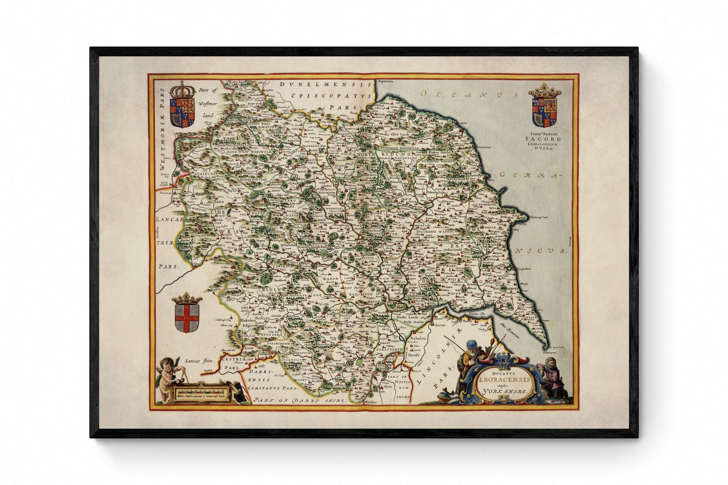
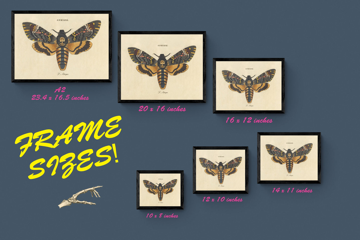
Available in a range of sizes, with print-only, mounted or framed options
Mounts are antique white as standard – black mounts are available on request
Solid wood frames, made in the UK and finished with care:
Black/White – 20mm wide, 15mm deep
Dark Rosewood – 35mm wide, 15mm deep
Walnut Gold – 28mm wide, 14mm deep
Frames include perspex glazing and MDF backs
Please note: not all sizes are available mounted; all sizes refer to the print area
Hang it in a hallway, study or living room for a timeless reminder of Yorkshire’s landscape, heritage and sense of place.
Licence Attribution - This is an edited version of the following public domain image: https://commons.wikimedia.org/wiki/File:Atlas_Van_der_Hagen-KW1049B11_033-DVCATVS_EBORACENSIS_Anglice_YORKSHIRE..jpeg