Ninska Designs
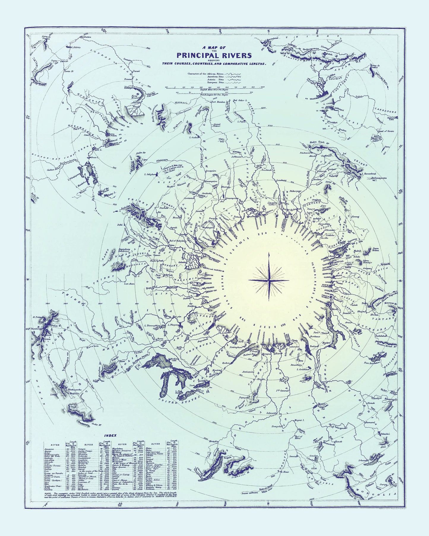
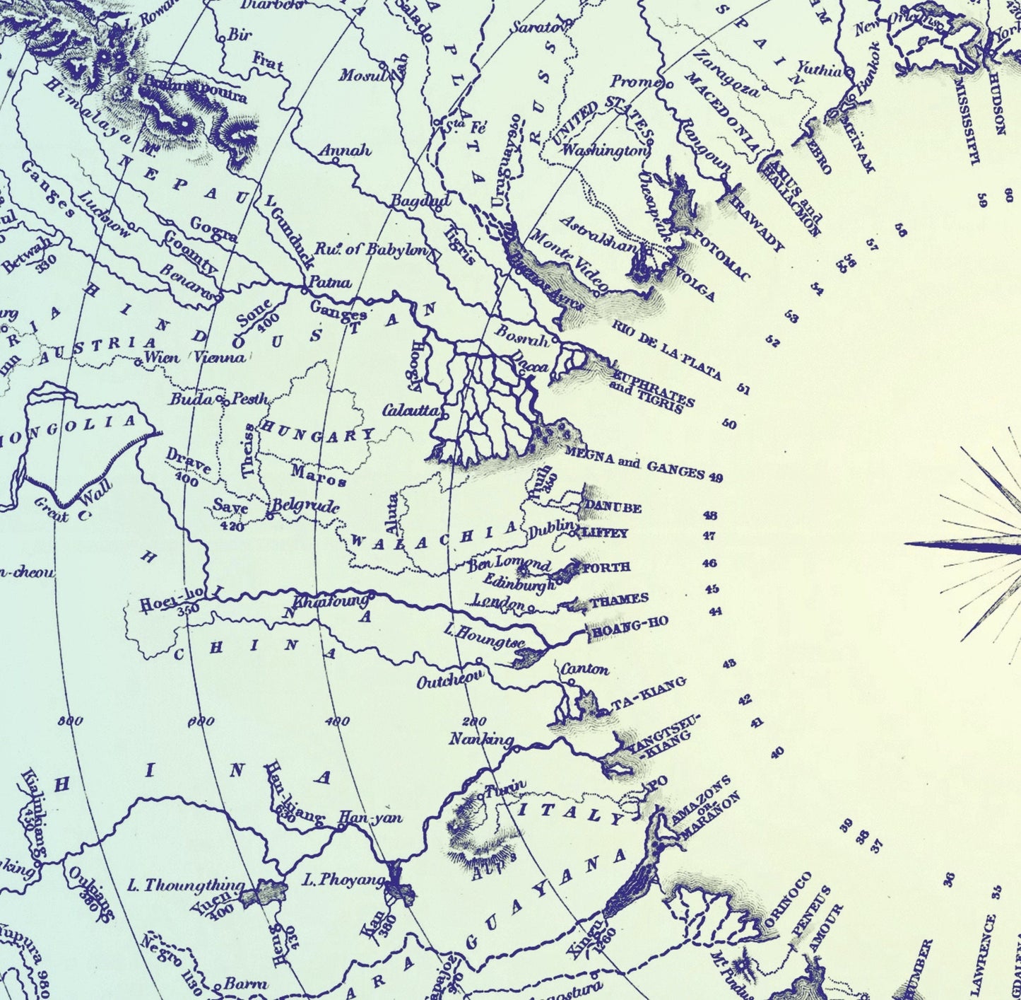
A Map of the Principal Rivers showing their courses, countries and comparative lengths dated 1834
A Map of the Principal Rivers showing their courses, countries and comparative lengths dated 1834
Couldn't load pickup availability
An elegant piece of antique cartography with a wonderfully curious twist, this 1834 map of the world’s principal rivers is both decorative and quietly educational. Rather than simply charting borders, it traces the great rivers of the world by course, country, and comparative length, giving the print the thoughtful, analytical charm of a Victorian classroom map. This is an edited reproduction made from antique/public domain source imagery.
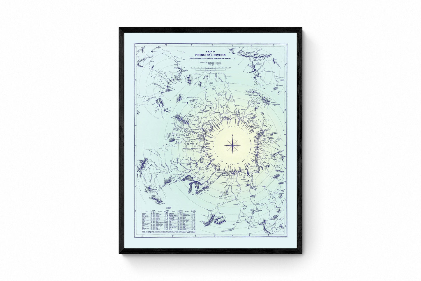
Perfect for a study, office, library, hallway, or travel-inspired interior, this vintage river map will appeal to lovers of antique maps, historical geography, and old scientific prints. There is something especially satisfying about the way it turns geography into design - full of fine detail, crisp labels, and the kind of scholarly character that makes people step closer for a better look.
Print quality
Printed on 300gsm fine art cotton rag paper using archival pigment inks for superb detail, depth and longevity.
Mounting & Framing
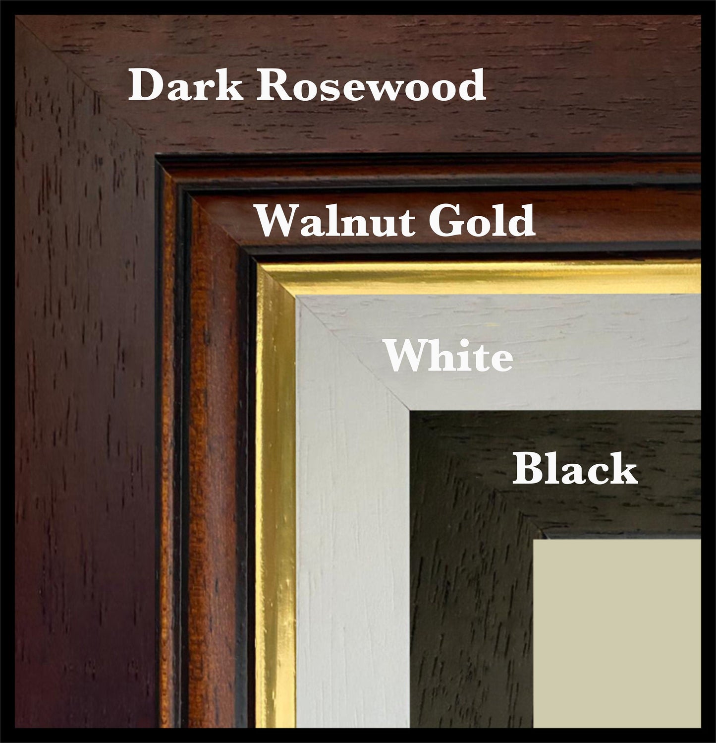
Mounted prints are supplied with an antique white mount as standard, though a black mount is available on request.
Frames are UK-made in solid wood and finished with perspex glazing and an MDF back.
• Black/White – 20mm wide, 15mm deep
• Dark Rosewood – 35mm wide, 15mm deep
• Walnut Gold – 28mm wide, 14mm deep
As wood is a natural material, variations in tone and grain may occur. Not all sizes are available mounted. Sizes refer to the print area.
Attribution
This is an edited version of the following public domain image:
https://commons.wikimedia.org/wiki/File:1834_S.D.U.K._Comparative_Map_or_Chart_of_the_World%27s_Great_Rivers_-_Geographicus_-_ComparativeRivers-sduk-1834.jpg
Share