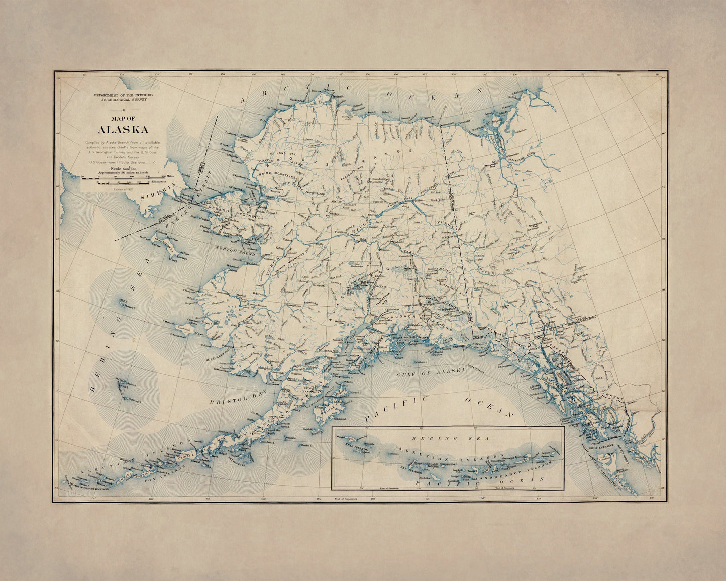
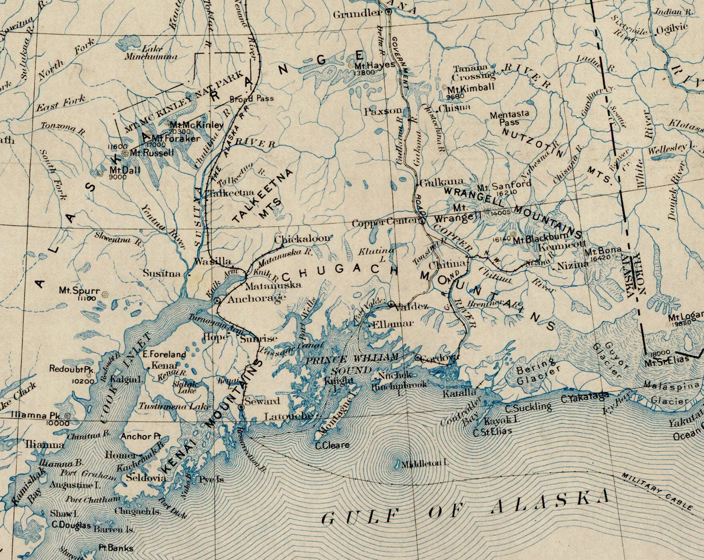
Alaska has a scale and drama that almost resists being mapped, which is exactly what makes antique charts like this so compelling. Dated 1927 and based on a U.S. Geological Survey map, this piece captures the vast sweep of the state in crisp vintage detail, with U.S. Government radio stations adding an extra layer of historic interest. It is a brilliant choice for Alaska residents, lovers of frontier history, aviation and exploration enthusiasts, or anyone drawn to antique map wall art with real presence and story.
This is an edited reproduction made from antique/public domain source imagery.
Print quality
Printed on beautifully textured 300gsm cotton rag paper using archival pigment inks, this vintage Alaska map print has a rich, gallery-quality finish designed to bring out every fine line, mountain contour and historic cartographic detail.
Mounting & Framing
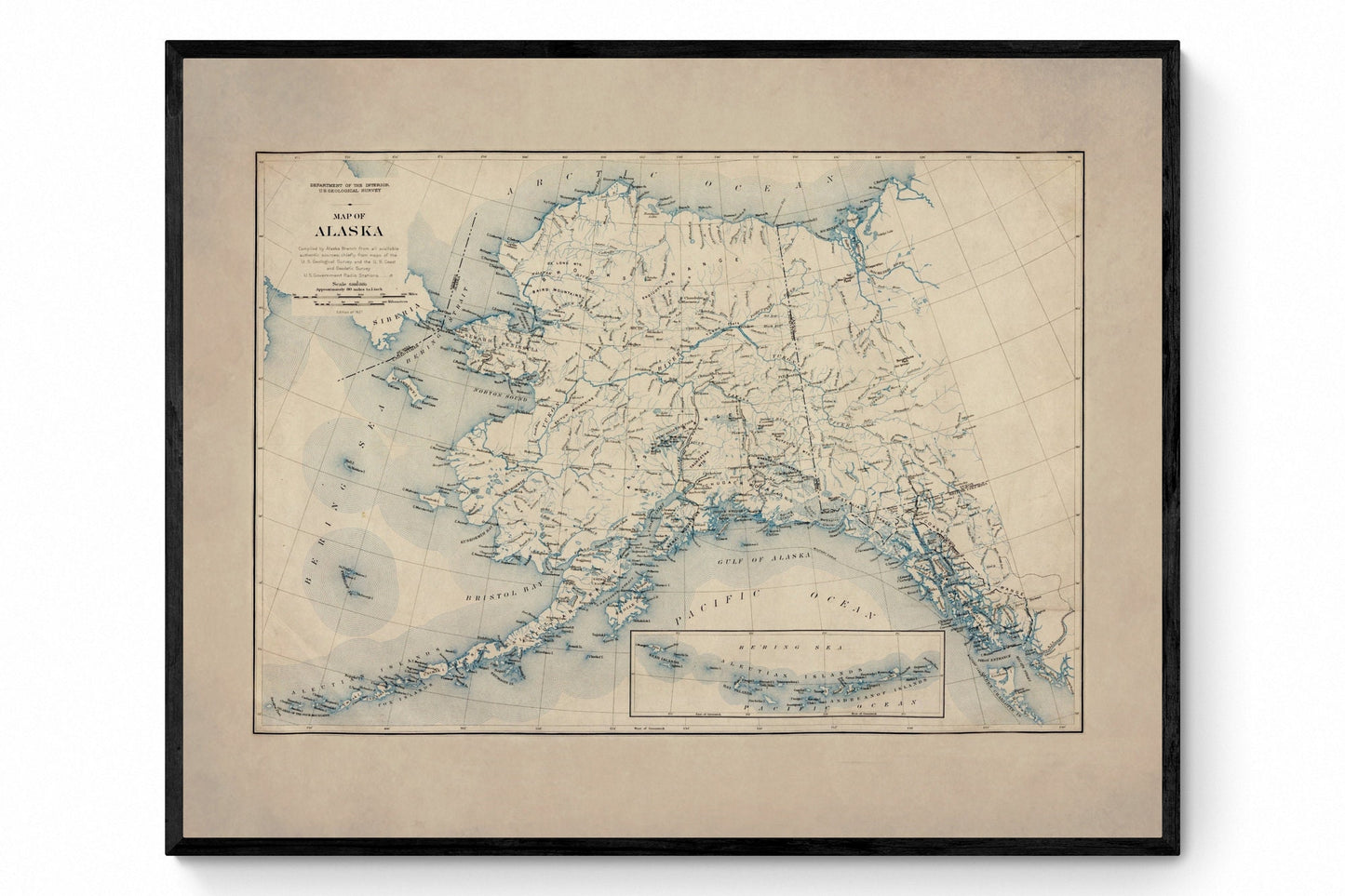
Mounting is available in antique white as standard, with black available on request.
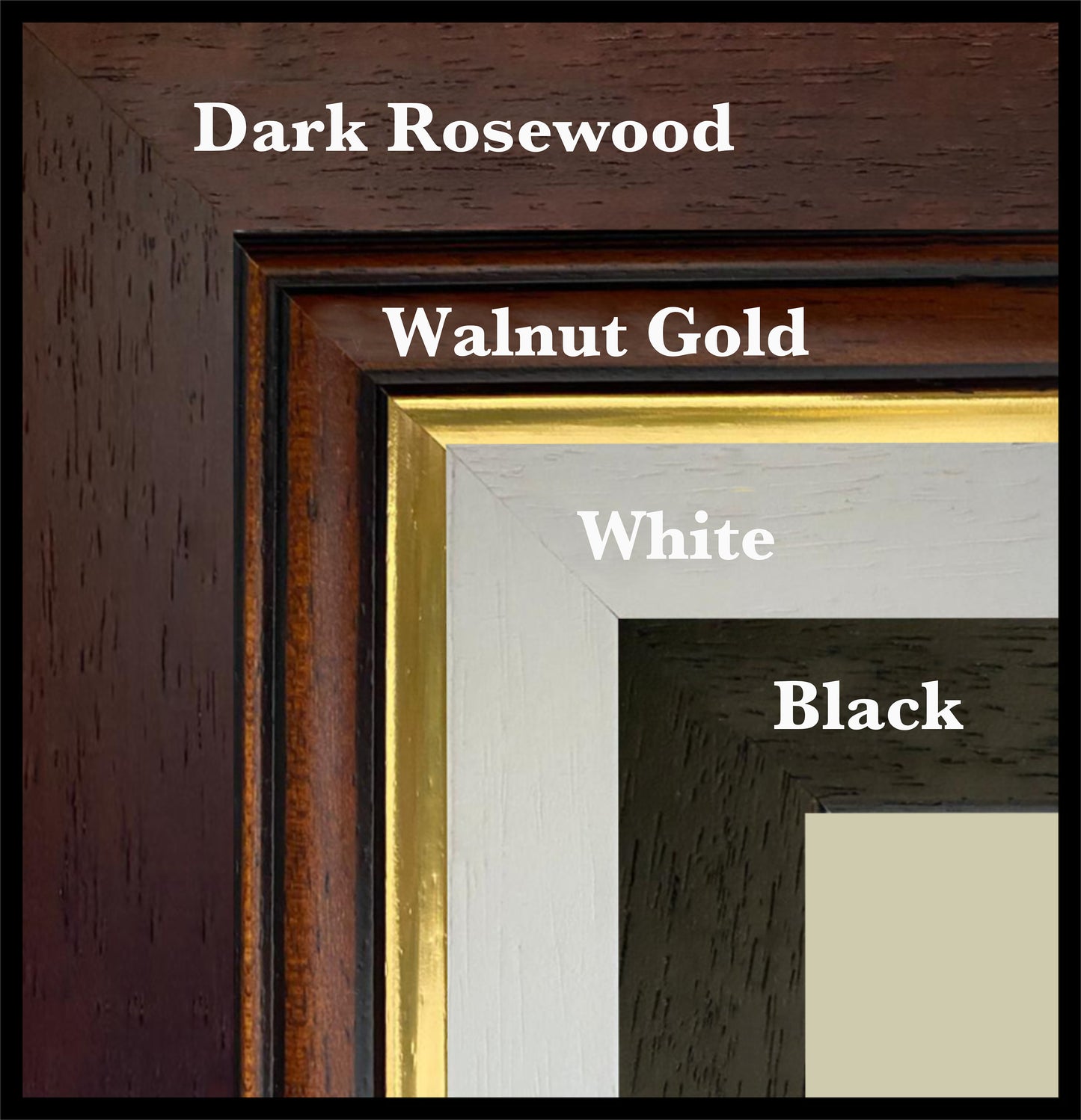
Frame options:
• Black - 20mm wide, 15mm deep
• White - 20mm wide, 15mm deep
• Dark Rosewood - 35mm wide, 15mm deep
• Walnut Gold - 28mm wide, 14mm deep
All frames are UK-made from solid wood and finished with perspex glazing and an MDF back. As wood is a natural material, grain and finish may vary slightly from the photos.
Not all sizes are available mounted. Sizes refer to the print area.
Attribution
This is an edited version of the following public domain image:
https://commons.wikimedia.org/wiki/File:Department_of_the_Interior._U._S._geological_Survey._Map_of_Alaska..._-_btv1b84589305.jpg


