Bring a sense of polar mystery and old-world adventure to your walls with this Arctic Region map (dated 1638, “Regiones”) — a beautifully detailed 17th-century style chart capturing the far north in classic antique cartographic form. With its historic place names, dramatic coastlines and Latin-inflected typography, it’s a timeless piece of vintage Arctic map wall art for collectors of antique maps, lovers of exploration history, and anyone drawn to the romance of early seafaring routes and the idea of the North Pole.
This is an edited reproduction of an antique map, created using antique and public domain source imagery.
Print quality Printed on 300gsm fine art cotton rag paper using archival pigment-based inks for superb detail and longevity.
Mounting & Framing Mounts are antique white by default (black mounts are available — leave a note with your order if you prefer black). Our solid wood frames are made in the UK and finished with care: • Black/White — 20mm wide, 15mm deep • Dark Rosewood — 35mm wide, 15mm deep • Walnut Gold — 28mm wide, 14mm deep
Frames include perspex glazing and MDF backs. As wood is a natural material, variations in tone and grain may occur.
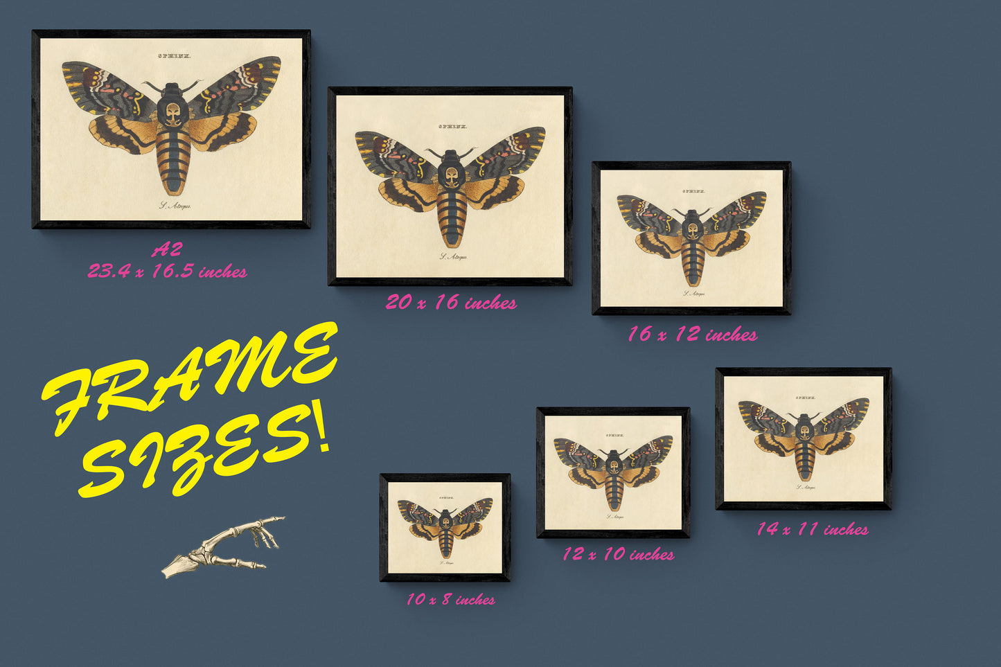
Not all sizes are available mounted. Sizes refer to the print area.