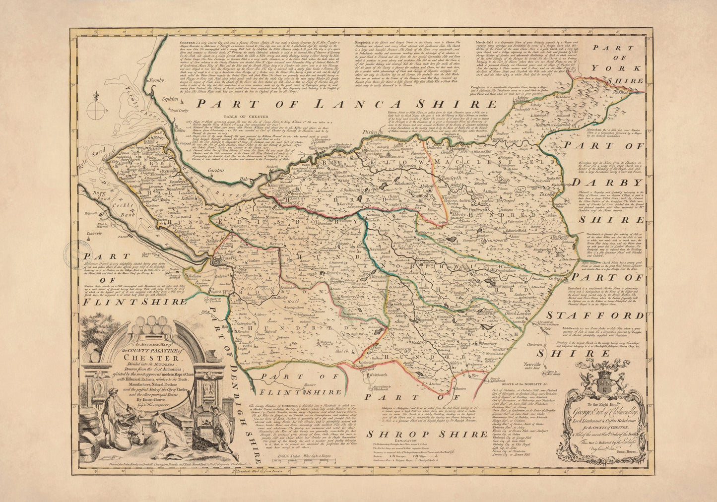
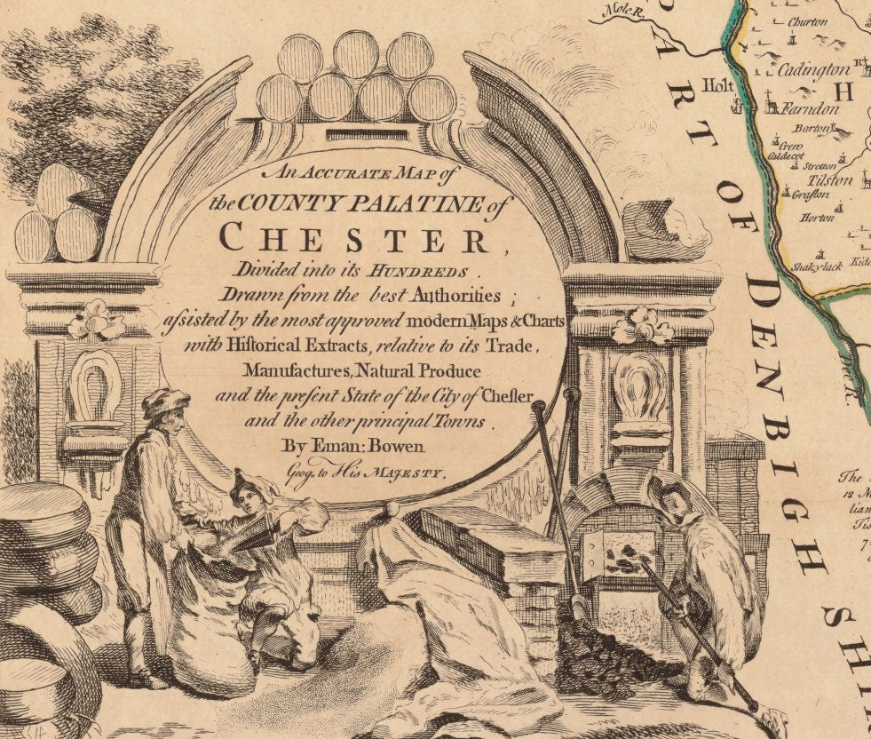
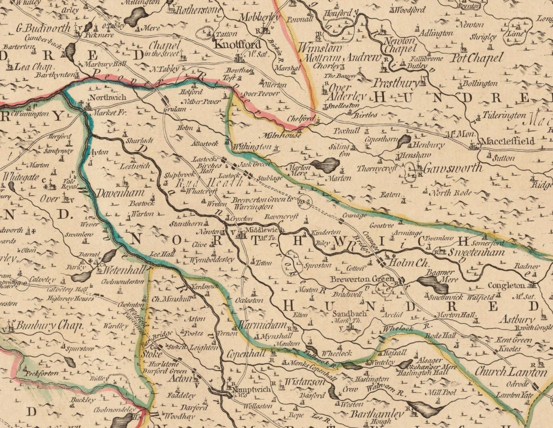
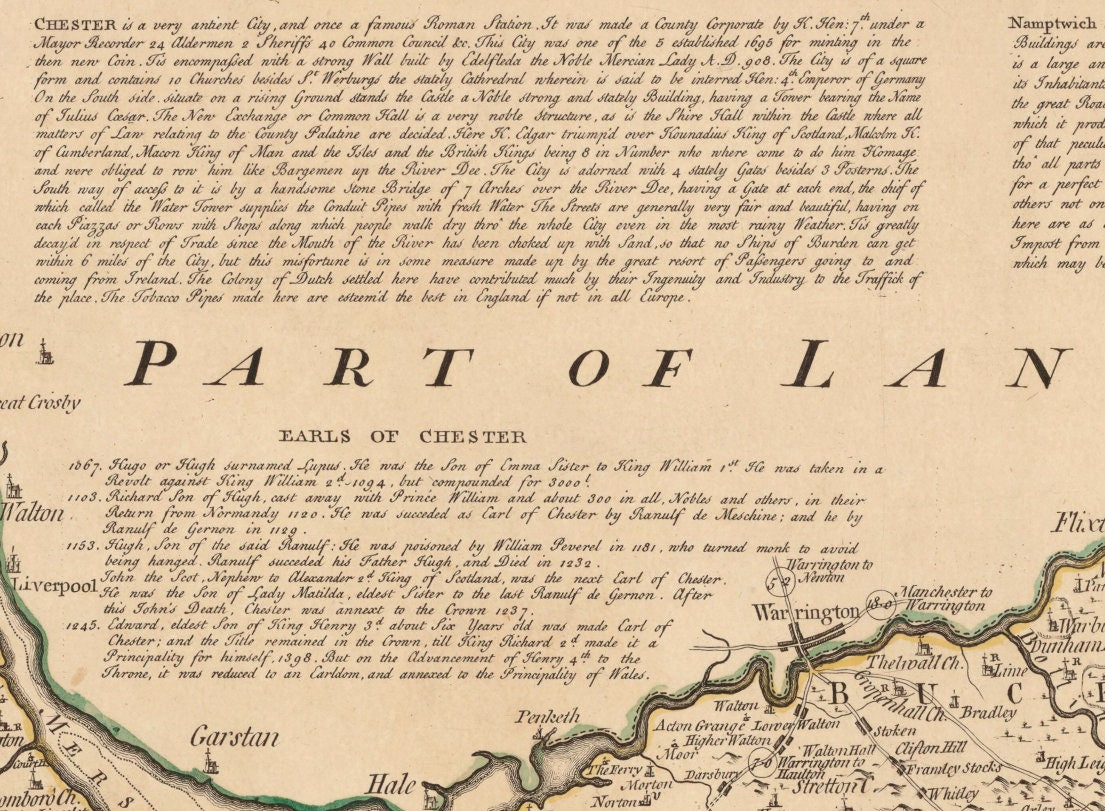
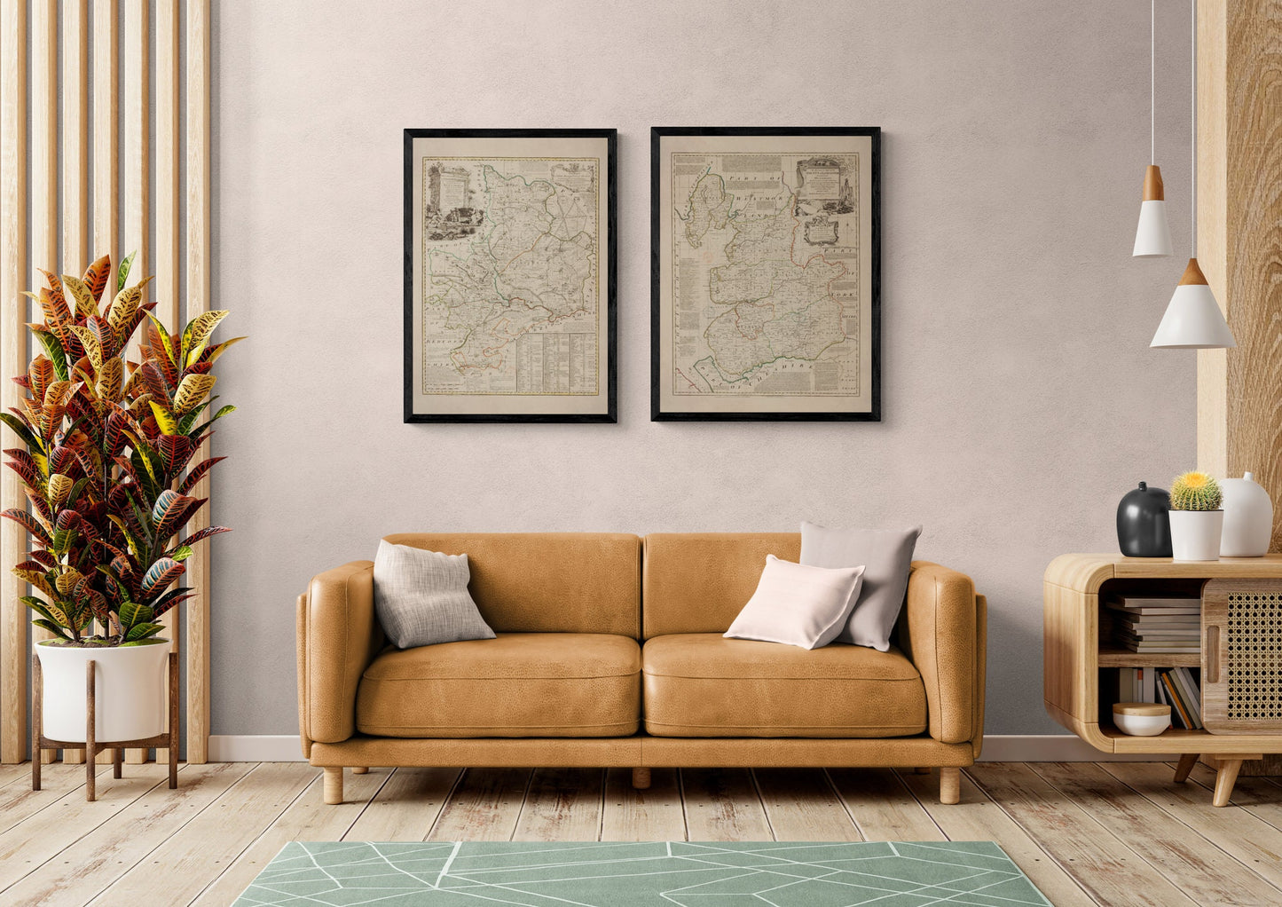
For anyone with a connection to Chester or Cheshire, this print has a lovely sense of home about it. Dated 1749 and originally by Emanuel Bowen, it captures the county with all the elegance antique cartography does so well - careful boundaries, historic place names and that richly detailed look that turns a map into a real statement piece. Whether chosen for local pride, family roots or a love of vintage British map decor, it brings history, character and quiet sophistication to the wall.
This is an edited reproduction made from antique/public domain source imagery.
Print quality
Printed on beautifully textured 300gsm cotton rag paper using archival pigment inks, this vintage Cheshire map print has a rich, gallery-quality finish designed to bring out every fine line, aged tone and intricate cartographic detail.
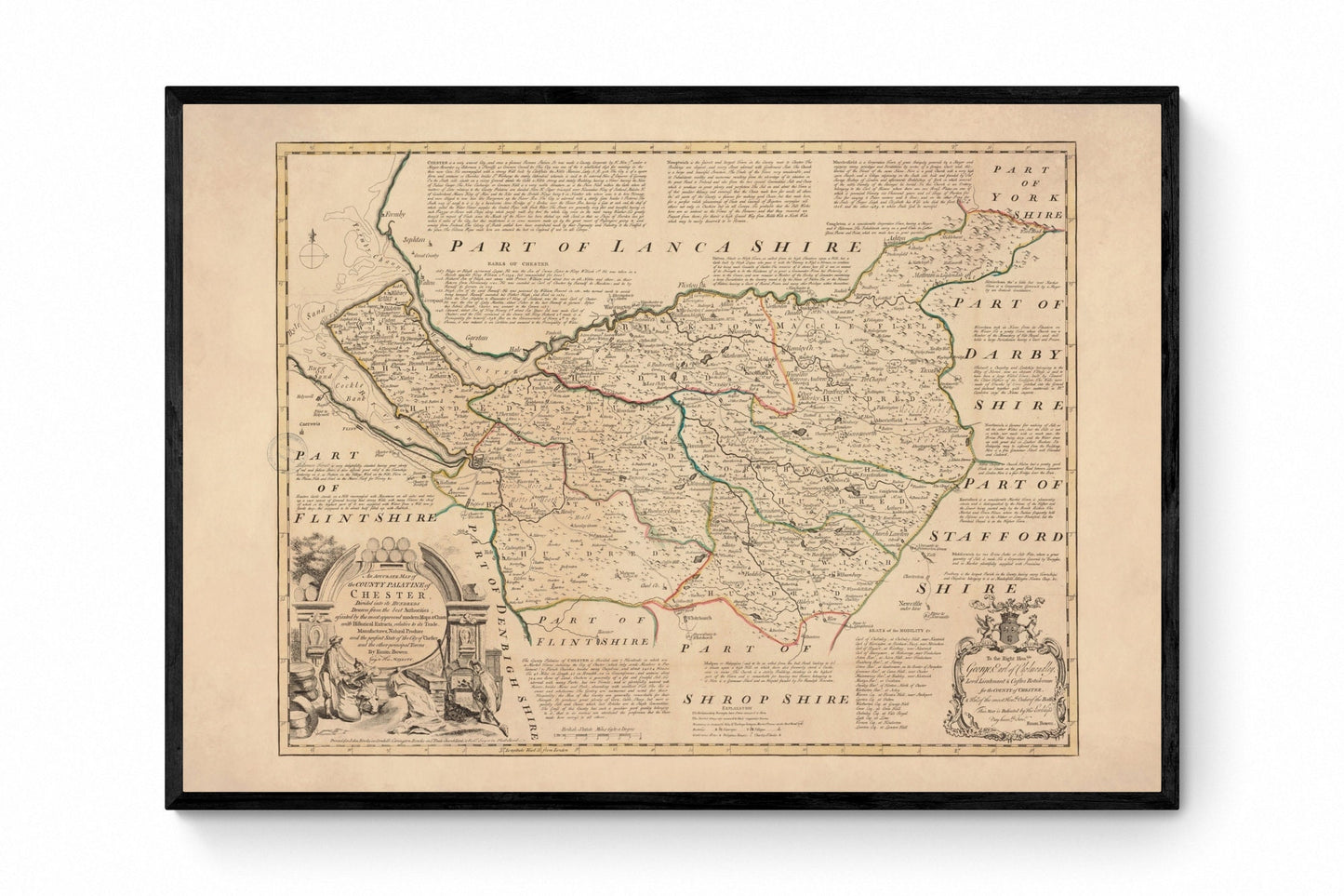
Mounting & Framing
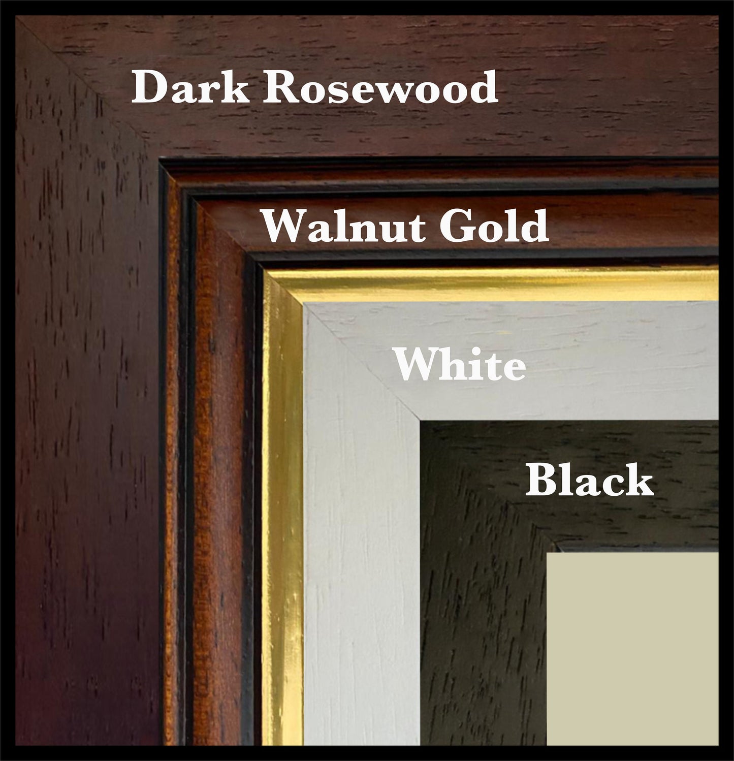
Mounting is available in antique white as standard, with black available on request.
Frame options:
• Black - 20mm wide, 15mm deep
• White - 20mm wide, 15mm deep
• Dark Rosewood - 35mm wide, 15mm deep
• Walnut Gold - 28mm wide, 14mm deep
All frames are UK-made from solid wood and finished with perspex glazing and an MDF back. As wood is a natural material, grain and finish may vary slightly from the photos.
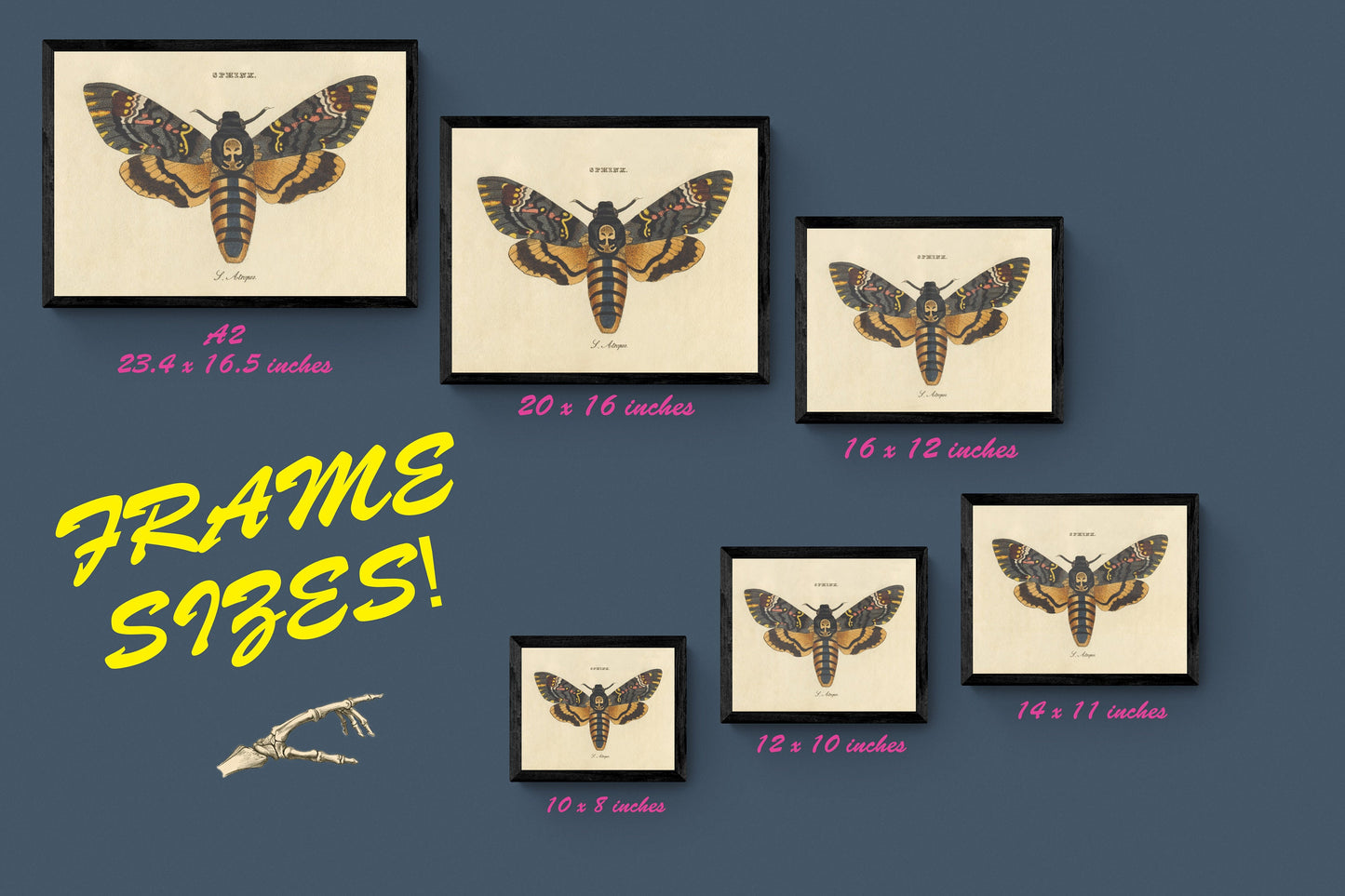
Not all sizes are available mounted. Sizes refer to the print area.