Ninska Designs
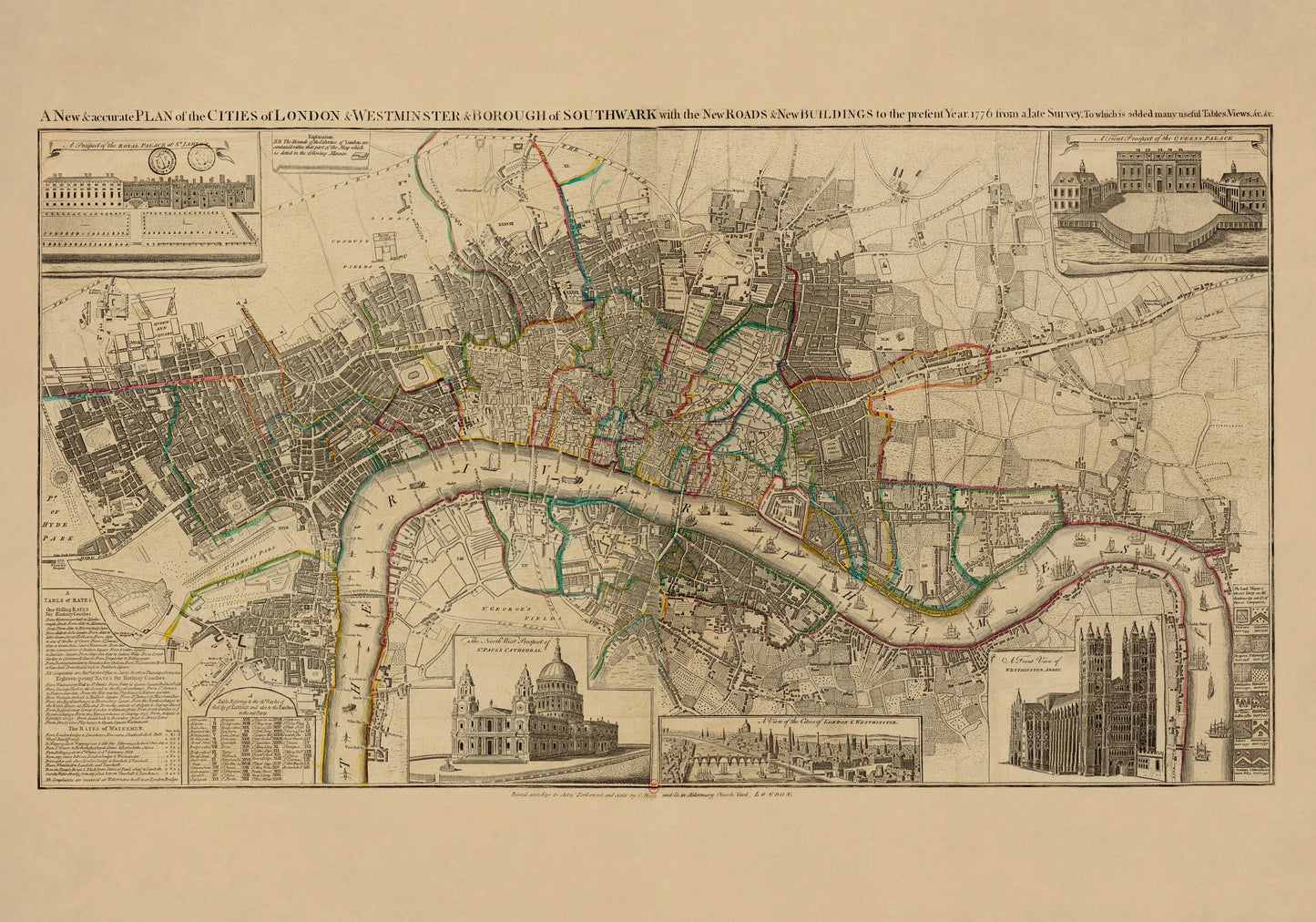
Cities of London & Westminster and Bourough of Southwark Map dated 1776
Cities of London & Westminster and Bourough of Southwark Map dated 1776
Couldn't load pickup availability
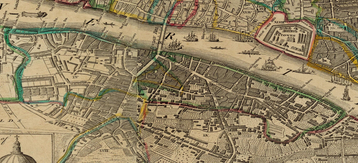
Full of bustle, detail, and old London character, this antique 1776 map of the Cities of London and Westminster and the Borough of Southwark feels like a front-row seat to the capital in its Georgian prime. Streets, rivers, landmarks, and the curve of the Thames unfold in that beautifully dense style antique city plans do so well, making this far more than a vintage map print. It is a glimpse of London as a living, growing place - layered, busy, and endlessly fascinating. This is an edited reproduction made from antique/public domain source imagery.
For anyone who loves London history, antique cartography, British heritage decor, or vintage city maps with real personality, this piece has enormous appeal. It is the kind of print that rewards a proper look, whether you are tracing familiar districts, spotting old street patterns, or simply enjoying the confidence and elegance of 18th-century mapmaking. Perfect for a study, hallway, office, library, living room, or gallery wall, it makes a thoughtful gift for Londoners, history lovers, architects, and anyone who wants wall art that feels intelligent, distinctive, and full of story.
Print quality
Printed on 300gsm fine art cotton rag paper using archival pigment inks for superb detail, depth and longevity.
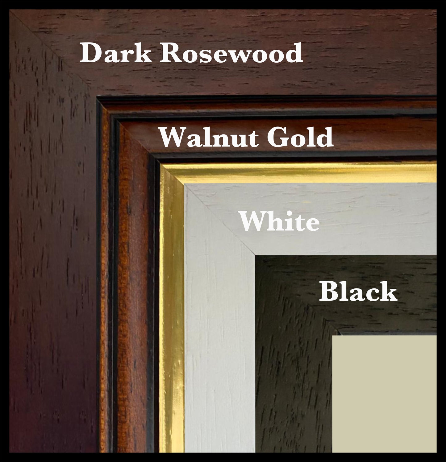
Mounting & Framing
Mounted prints are supplied with an antique white mount as standard, though a black mount is available on request.
Frames are UK-made in solid wood and finished with perspex glazing and an MDF back.
• Black/White – 20mm wide, 15mm deep
• Dark Rosewood – 35mm wide, 15mm deep
• Walnut Gold – 28mm wide, 14mm deep
As wood is a natural material, variations in tone and grain may occur. Not all sizes are available mounted. Sizes refer to the print area.
Attribution
This is an edited version of the following public domain image:
https://commons.wikimedia.org/wiki/File:A_new_and_accurate_plan_of_the_cities_of_London_and_Westminster_and_borough_of_Southwark_-_btv1b53010643s.jpg
Share