Ninska Designs
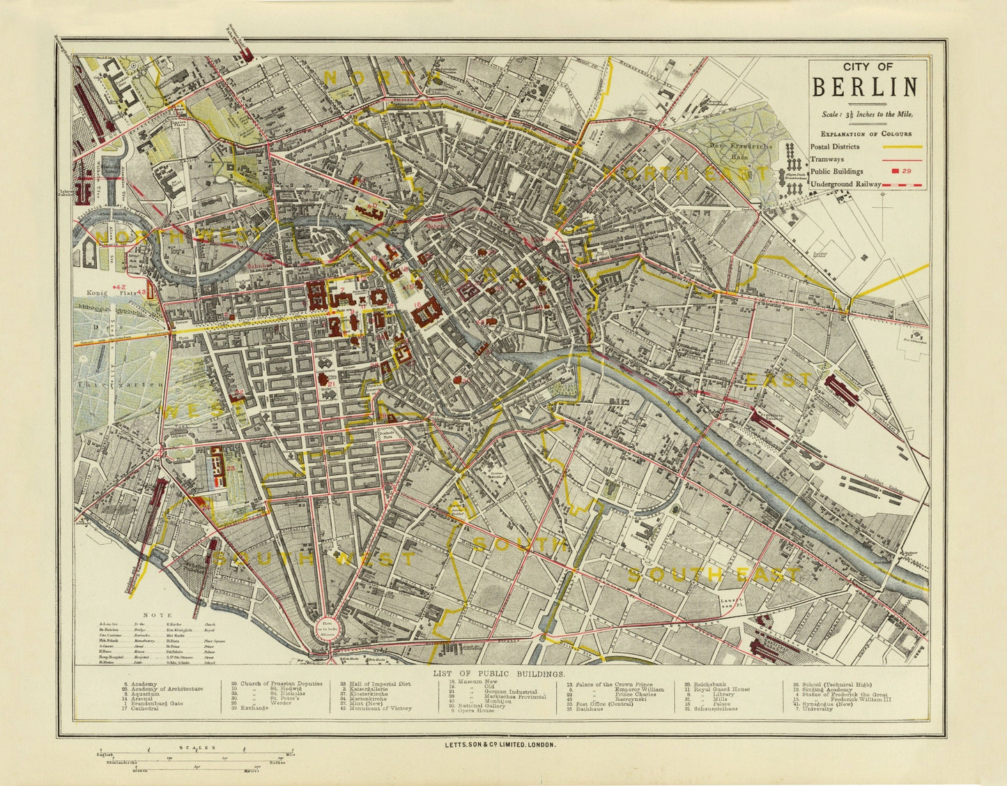
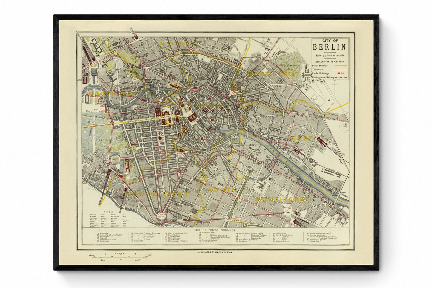
City of Berlin Map dated 1883
City of Berlin Map dated 1883
Couldn't load pickup availability
Berlin in the late nineteenth century was a city in motion, and this 1883 map captures that energy beautifully. With postal districts, tramways and the underground railway all laid out in crisp antique detail, it feels like both a city plan and a portrait of urban modernity taking shape. Perfect for Berlin lovers, Germany history enthusiasts and anyone drawn to vintage city maps, it brings architectural character, historical depth and a wonderfully cosmopolitan feel to the wall.
This is an edited reproduction made from antique/public domain source imagery.
Print quality
Printed on beautifully textured 300gsm cotton rag paper using archival pigment inks, this vintage Berlin map print has a rich, gallery-quality finish designed to bring out every fine line, street detail and aged cartographic tone.
Mounting & Framing
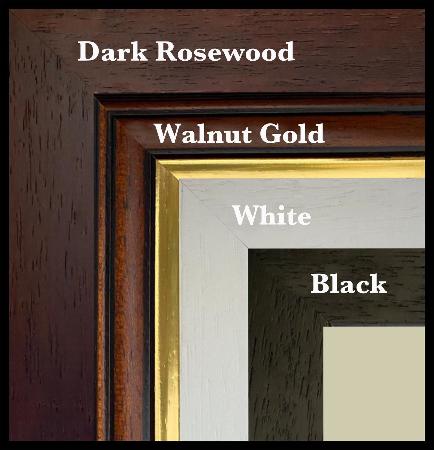
Mounting is available in antique white as standard, with black available on request.
Frame options:
• Black - 20mm wide, 15mm deep
• White - 20mm wide, 15mm deep
• Dark Rosewood - 35mm wide, 15mm deep
• Walnut Gold - 28mm wide, 14mm deep
All frames are UK-made from solid wood and finished with perspex glazing and an MDF back. As wood is a natural material, grain and finish may vary slightly from the photos.
Not all sizes are available mounted. Sizes refer to the print area.
Attribution
This is an edited version of the following public domain image:
https://commons.wikimedia.org/wiki/File:City_of_Berlin_Letts%27s_popular_atlas_1883.jpg
Share