Cornwall has long inspired affection out of all proportion to its size, with its rugged coastline, ancient towns and distinct identity giving it a place all its own in British history. This antique map, dated 1750 and drawn by Emanuel Bowen, captures the county in elegant period detail, with its towns, boundaries and coastline laid out in the richly decorative style that makes eighteenth-century cartography so enduringly appealing. A striking choice for anyone drawn to Cornwall decor, vintage map prints and antique British cartography, it brings character, calm and a strong sense of place to a study, hallway, office or gallery wall.
This is an edited reproduction made from antique/public domain source imagery.
Print quality
Printed on beautifully textured 300gsm cotton rag paper using archival pigment inks, this reproduction has a crisp, characterful finish that suits antique cartography especially well. The heavyweight fine art paper gives the image depth and presence, while the archival inks help preserve its subtle tones, fine linework and intricate printed detail.
Mounting & Framing
Available unframed, mounted or framed.
Mounted prints are set in an antique white mount as standard, chosen to complement the vintage character of the piece. A black mount is available on request.
Frames are handmade in the UK from solid wood and fitted with perspex glazing and an MDF back.
• Black wood frame - 20mm wide, 15mm deep
• White wood frame - 20mm wide, 15mm deep
• Dark rosewood frame - 35mm wide, 15mm deep
• Walnut gold frame - 28mm wide, 14mm deep
Please note that natural wood grain and finish may vary slightly from frame to frame.
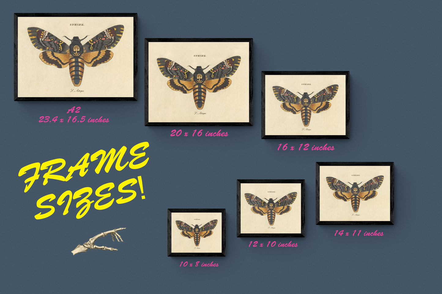
Not all sizes are available mounted. Sizes refer to the print area.