Ninska Designs
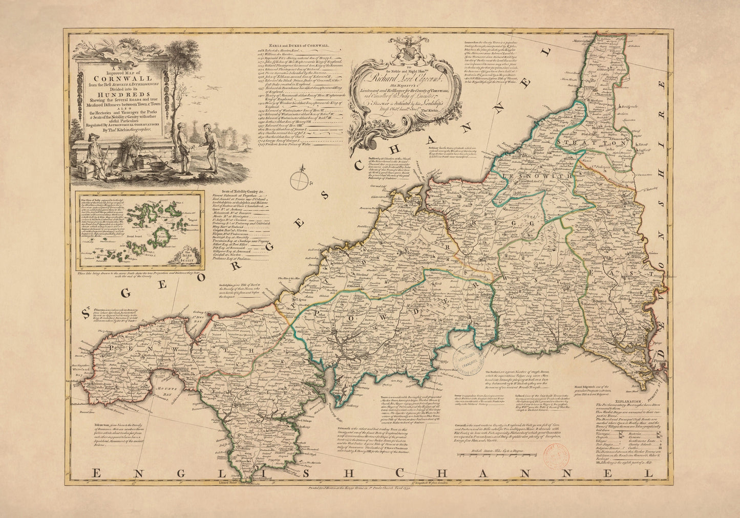
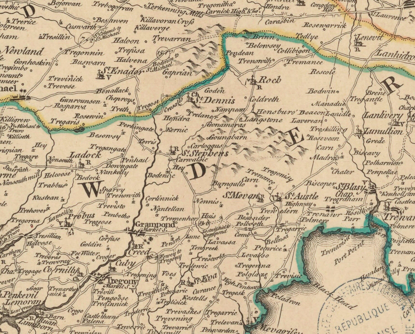
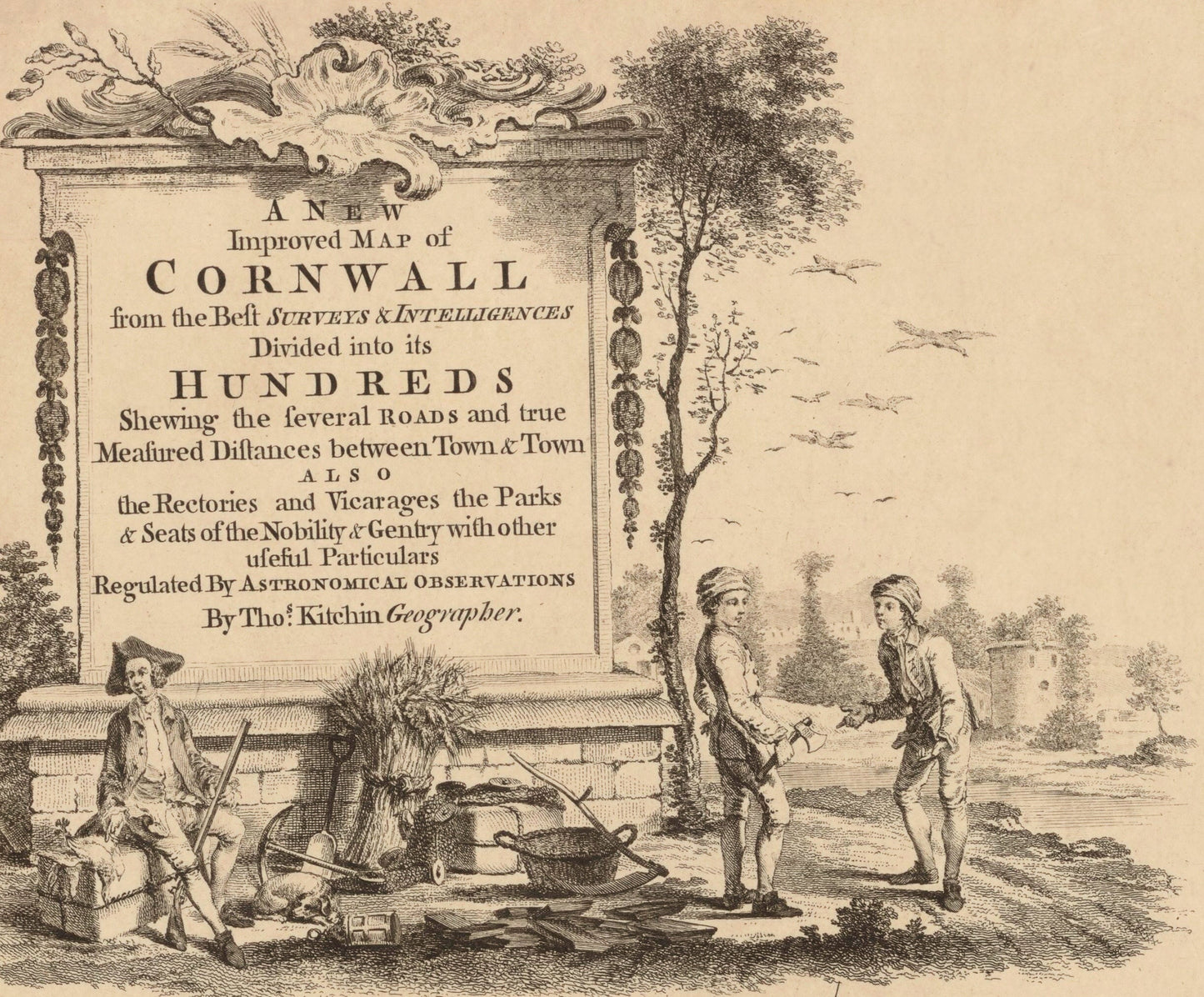
Cornwall Map dated 1750
Cornwall Map dated 1750
Couldn't load pickup availability
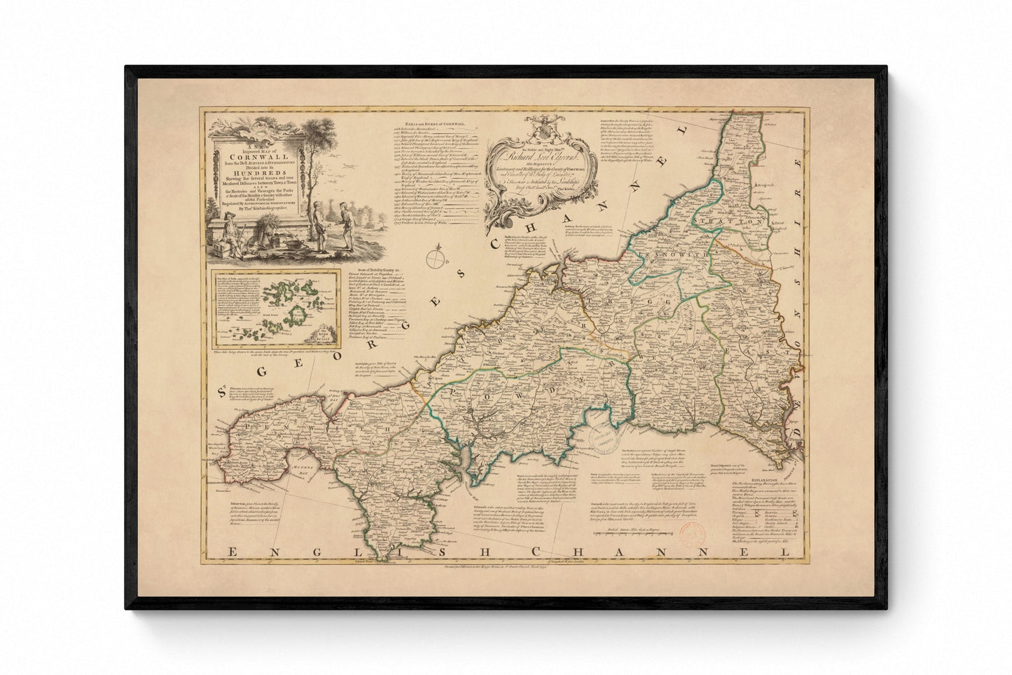
There is something especially satisfying about a county map when it is this full of detail, and this antique Cornwall map dated 1750 has all the charm of classic Georgian cartography. Drawn by Emanuel Bowen, it captures Cornwall with crisp place names, roads, boundaries, and that beautifully decorative confidence that old British maps do so well. More than just a vintage map print, it feels like a portrait of the county - thoughtful, storied, and full of the character that makes Cornwall so easy to love. This is an edited reproduction made from antique/public domain source imagery.
Perfect for a study, hallway, office, library, living room, or country-inspired interior, this vintage Cornwall map print is a wonderful choice for lovers of antique cartography, Cornish history, coastal heritage, and British county wall art. It is especially appealing if you have roots in Cornwall or simply love the romance of old maps with real personality. There is so much here to enjoy, from the elegant lettering to the sense of landscape and place, making it the kind of print people keep coming back to for another look.
Print quality
Printed on 300gsm fine art cotton rag paper using archival pigment inks for superb detail, depth and longevity.
Mounting & Framing
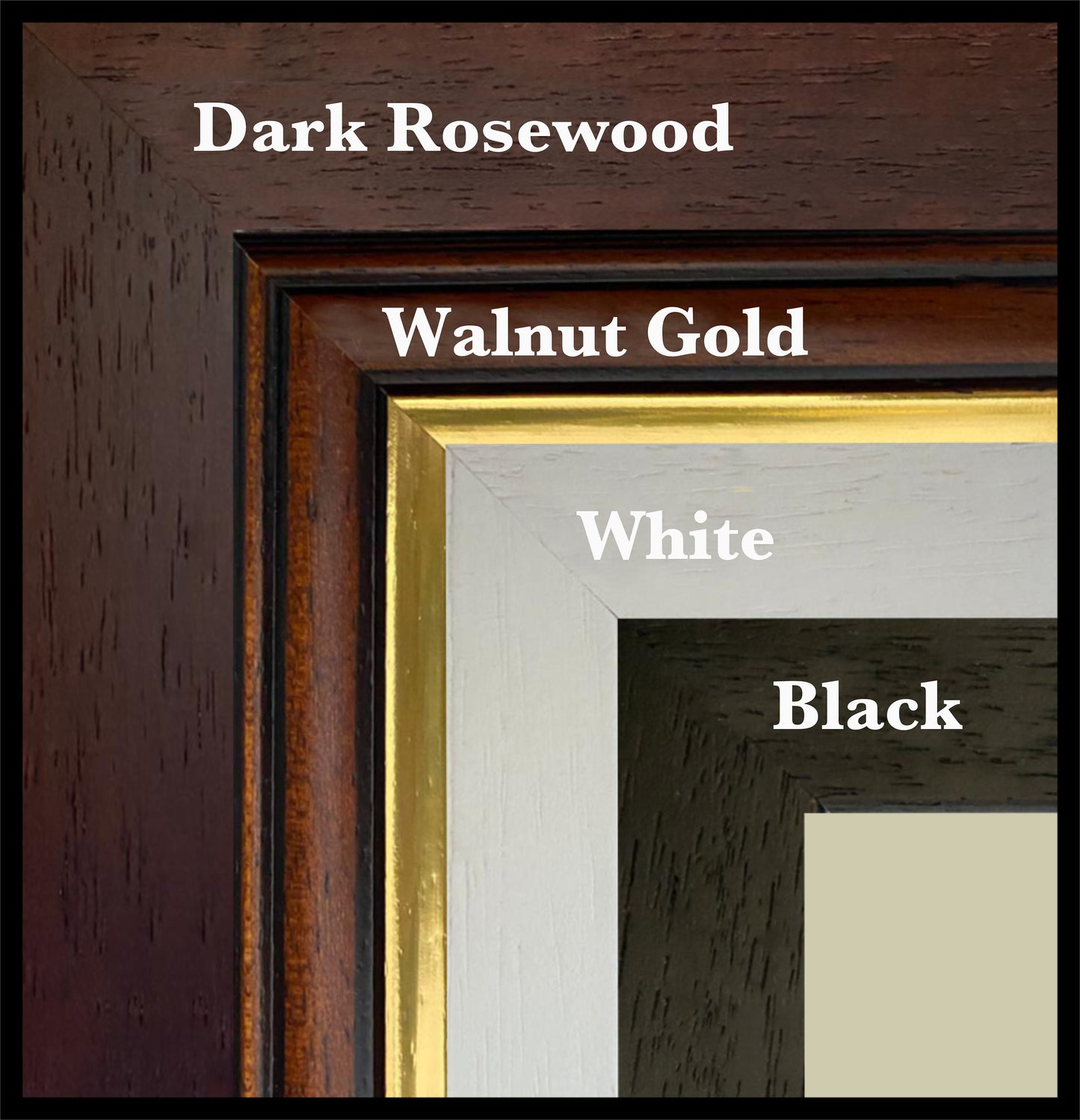
Mounted prints are supplied with an antique white mount as standard, though a black mount is available on request.
Frames are UK-made in solid wood and finished with perspex glazing and an MDF back.
• Black/White – 20mm wide, 15mm deep
• Dark Rosewood – 35mm wide, 15mm deep
• Walnut Gold – 28mm wide, 14mm deep
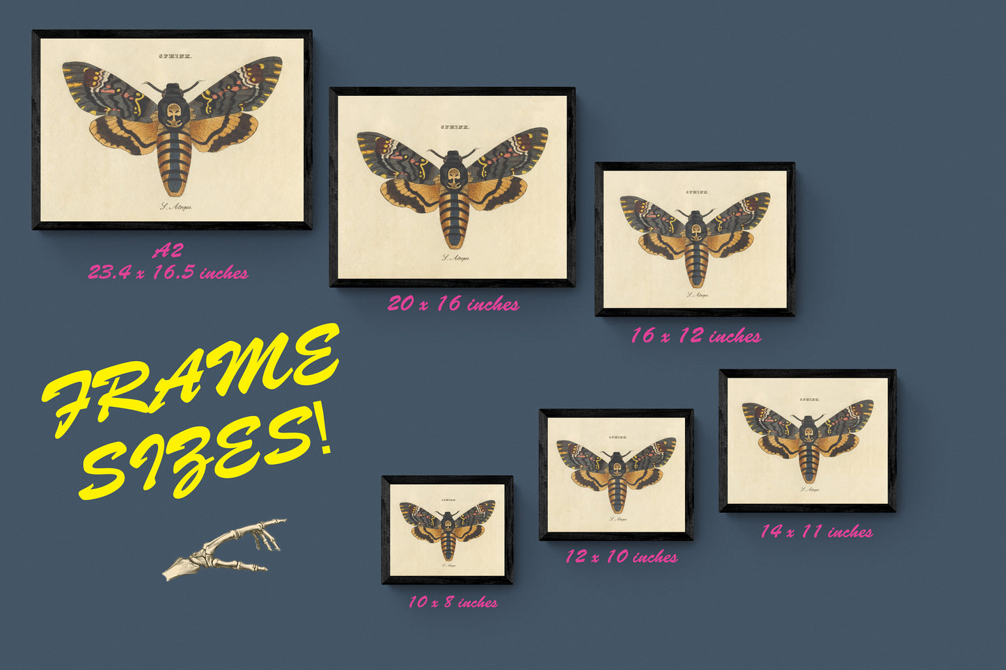
As wood is a natural material, variations in tone and grain may occur. Not all sizes are available mounted. Sizes refer to the print area.
Share