Ninska Designs
Derbyshire Map dated 1755
Derbyshire Map dated 1755
Couldn't load pickup availability
Derbyshire has always been a county of contrasts — wild Peak District edges, limestone dales, and handsome market towns — and an 18th-century map captures it in a wonderfully grounded, practical way. This 1755 Derbyshire map is classic Georgian cartography: crisp boundaries, historic place names, and that antique look that works beautifully in a study, hallway, or a gallery wall of vintage English county maps.
This is an edited reproduction made from antique/public domain source imagery.
Print quality
Printed on 300gsm fine art cotton rag paper using archival pigment-based inks for superb quality and longevity.
Mounting & Framing
Mounts are antique white by default, but you may request black when ordering (please note this in your order).
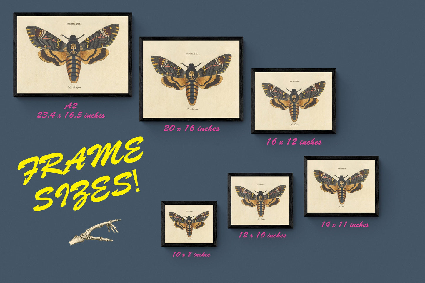
Our solid wood frames are made in the UK and finished with care. Frame options (dimensions):
• Black/White: 20mm wide, 15mm deep
• Dark Rosewood: 35mm wide, 15mm deep
• Walnut Gold: 28mm wide, 14mm deep
Frames include perspex glazing and MDF backs. As wood is a natural material, variations in tone and grain may occur.
Not all sizes are available mounted. Sizes refer to the print area.
Share