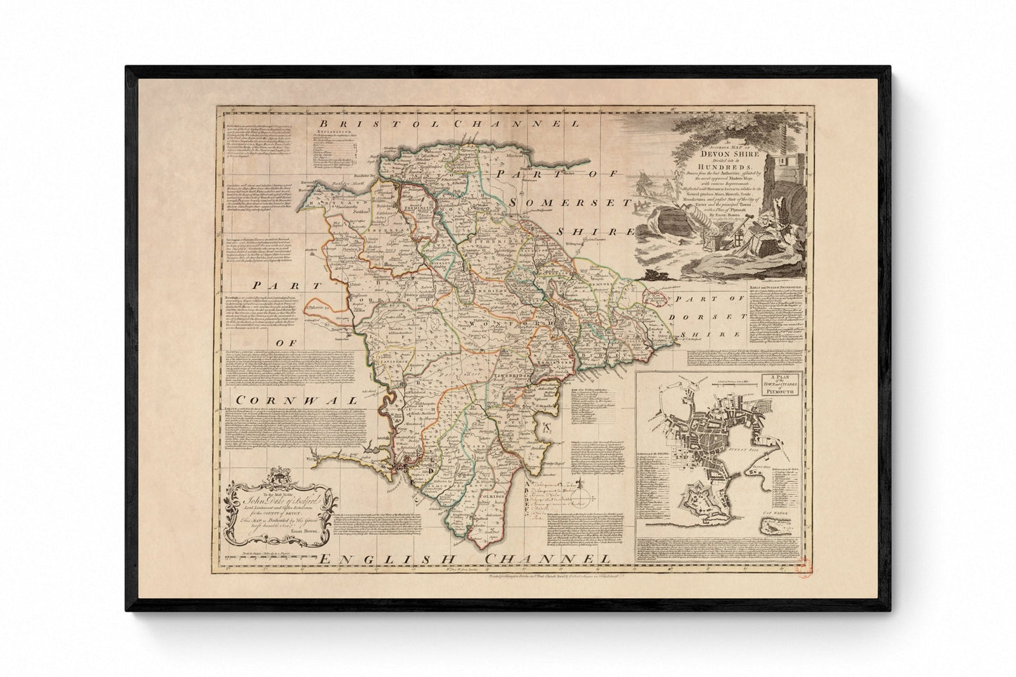
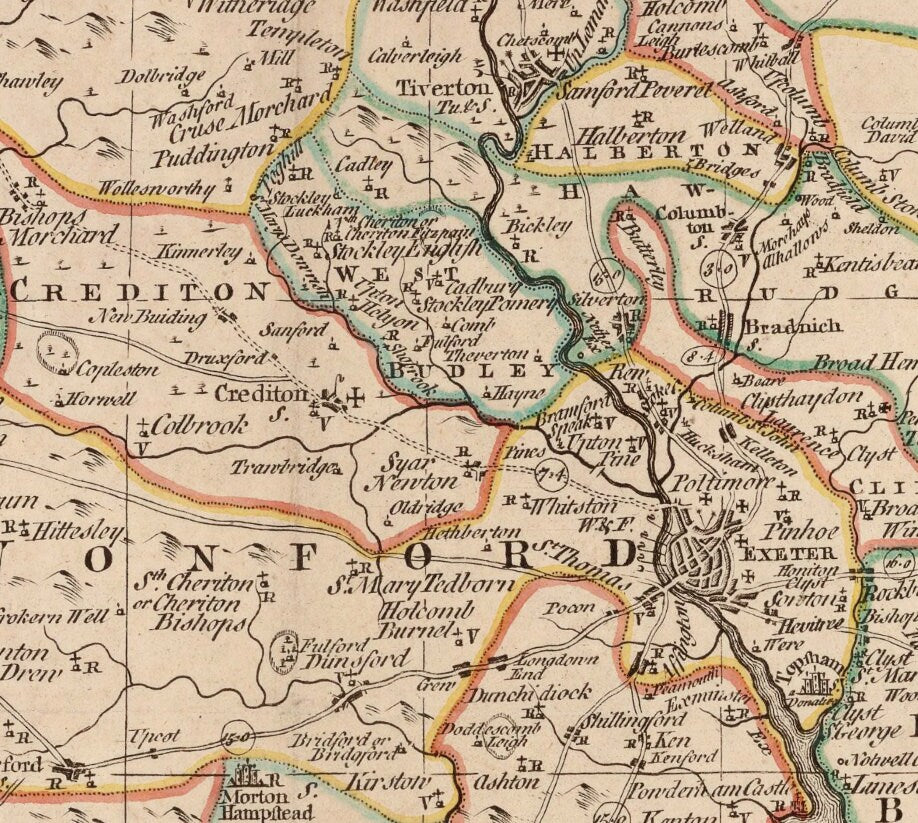
For anyone who loves Devon, this print has the pleasure of both place and history. Dated 1749 and originally by Emanuel Bowen, it captures the county with the richness antique maps do so well - coastlines, towns, divisions and all the careful detail that turns geography into something beautifully decorative. It feels equally at home in a study, hallway or seaside cottage, making it a wonderful choice for Devon residents, local history enthusiasts and anyone drawn to vintage British map wall art.
This is an edited reproduction made from antique/public domain source imagery.
Print quality
Printed on beautifully textured 300gsm cotton rag paper using archival pigment inks, this vintage Devon map print has a rich, gallery-quality finish designed to bring out every fine line, aged tone and intricate cartographic detail.
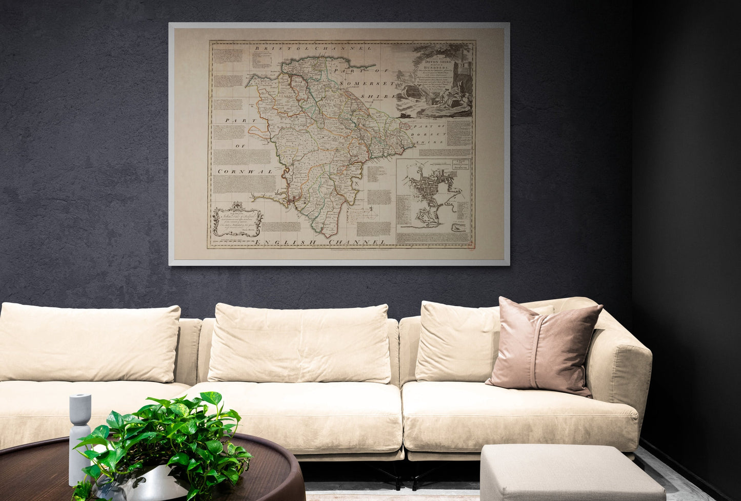
Mounting & Framing
Mounting is available in antique white as standard, with black available on request.
Frame options:
• Black - 20mm wide, 15mm deep
• White - 20mm wide, 15mm deep
• Dark Rosewood - 35mm wide, 15mm deep
• Walnut Gold - 28mm wide, 14mm deep
All frames are UK-made from solid wood and finished with perspex glazing and an MDF back. As wood is a natural material, grain and finish may vary slightly from the photos.
Not all sizes are available mounted. Sizes refer to the print area.
Attribution
This is an edited version of the following public domain image:
https://commons.wikimedia.org/wiki/File:An_accurate_map_of_Devon_Shire_divided_into_its_hundreds...with_a_plan_of_Plymouth_-_by_Eman-_Bowen_-_btv1b53102898h.jpg


