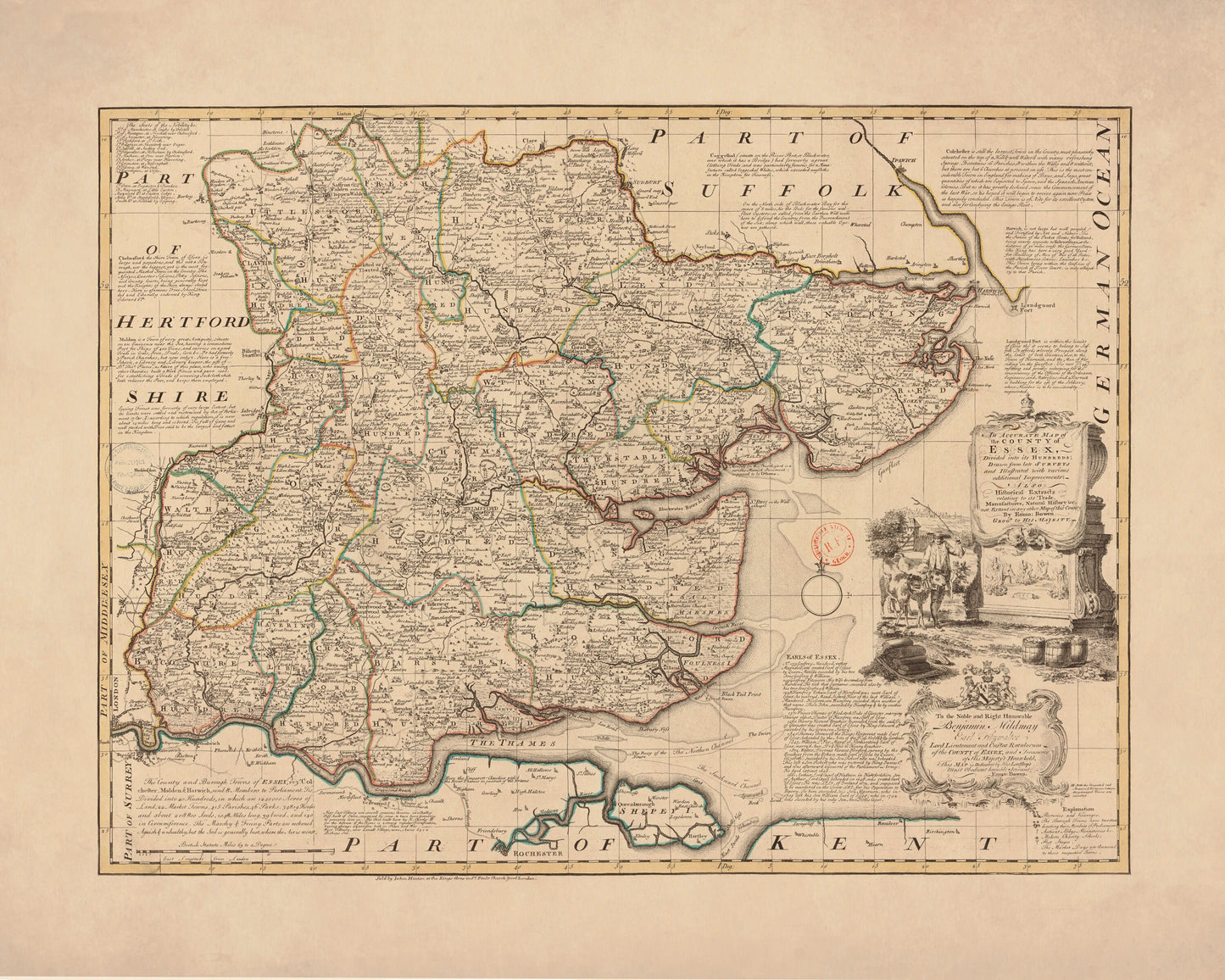
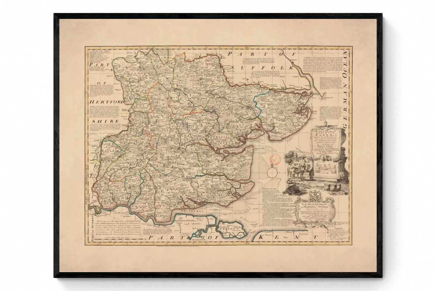
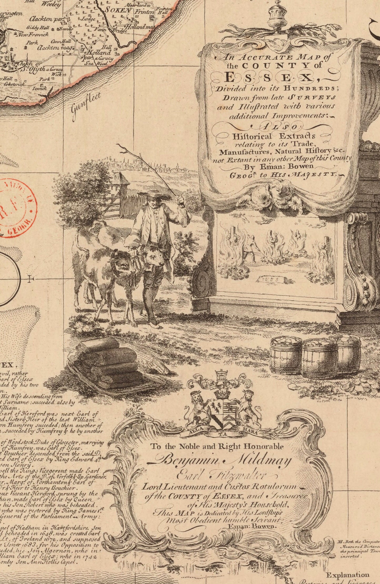
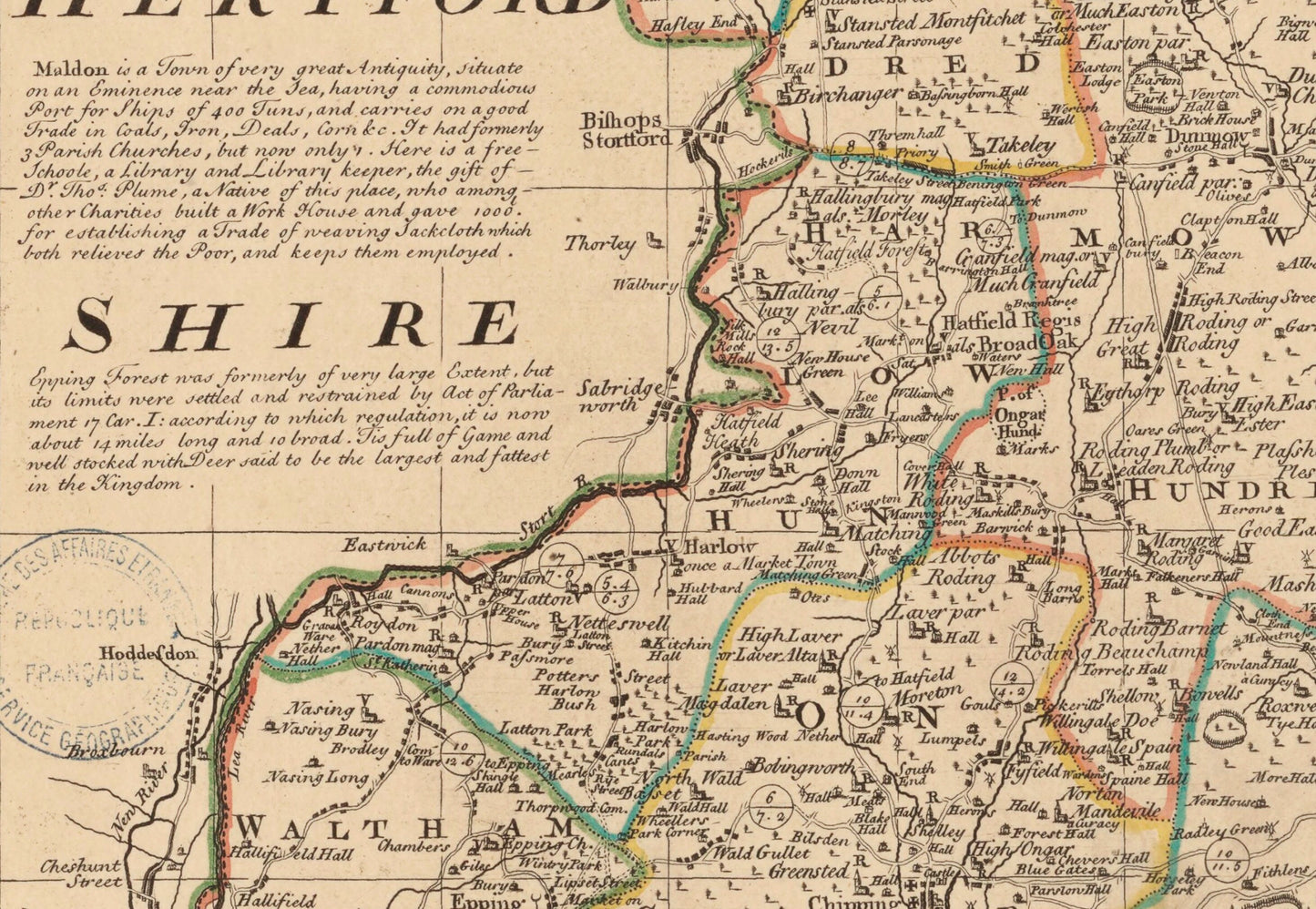
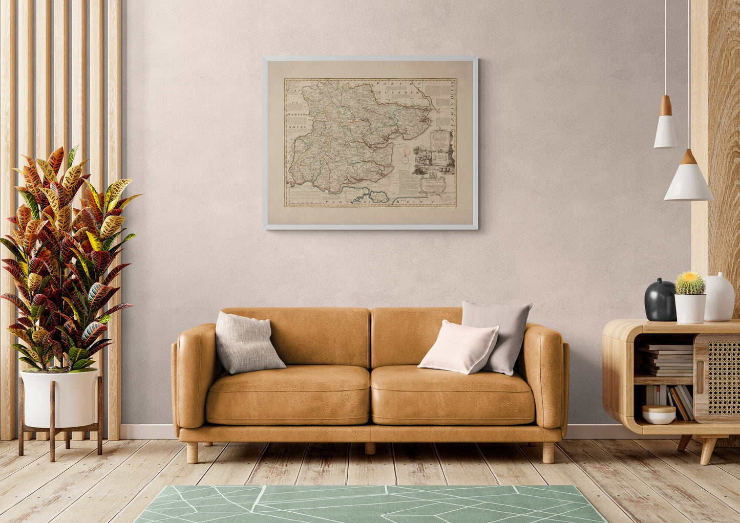
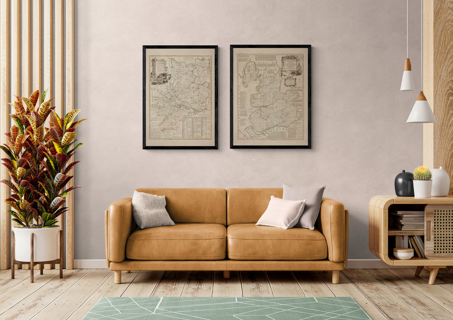
Rich in detail and full of old English character, this antique Essex map dated 1750 is the sort of print that instantly makes a room feel more considered. With its finely drawn towns, roads, borders, and decorative cartouche, it has all the appeal of a true collector’s map - scholarly, elegant, and quietly full of stories. This is an edited reproduction made from antique/public domain source imagery.
A wonderful choice for a study, hallway, office, library, or country-inspired interior, this vintage county map of Essex will appeal to lovers of antique cartography, local history, and classic British wall art. It has that rare balance of refinement and warmth, making it just as suited to a traditional home as it is to a more modern space in need of some character. If you have a connection to Essex, this one feels especially personal.
Print quality
Printed on 300gsm fine art cotton rag paper using archival pigment inks for superb detail, depth and longevity.
Mounting & Framing
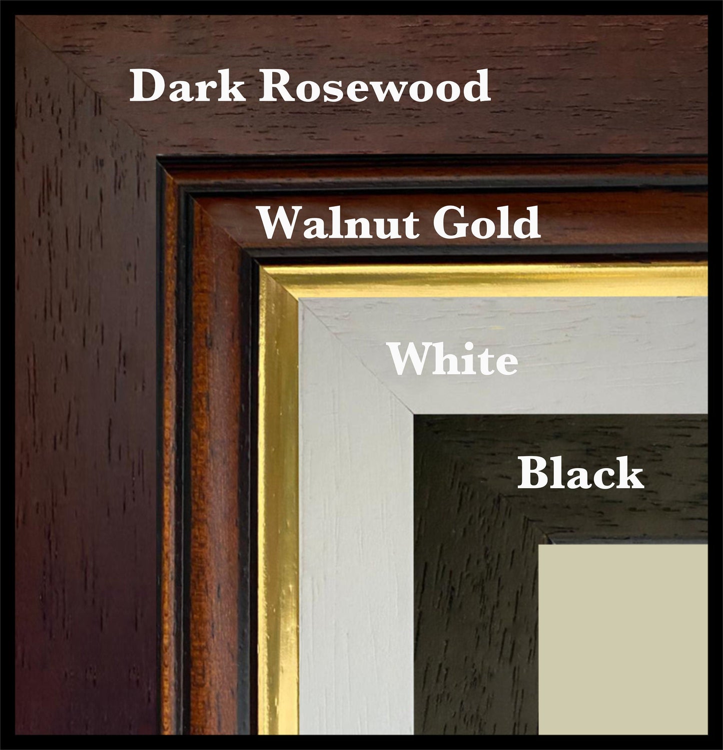
Mounted prints are supplied with an antique white mount as standard, though a black mount is available on request.
Frames are UK-made in solid wood and finished with perspex glazing and an MDF back.
• Black/White – 20mm wide, 15mm deep
• Dark Rosewood – 35mm wide, 15mm deep
• Walnut Gold – 28mm wide, 14mm deep
As wood is a natural material, variations in tone and grain may occur. Not all sizes are available mounted. Sizes refer to the print area.
Attribution
This is an edited version of the following public domain image:
https://commons.wikimedia.org/wiki/File:An_Accurate_Map_of_the_County_of_Essex,_Divided_into_its_Hundreds_-_Drawn_from_late_Surveys_and_Illustrated_with_various_additional_Improvements._Also_Historical_Extracts_relating_to_its_Trade,_Manufactures,_Natural..._-_btv1b53057141n.jpg


