Celebrate the wild beauty and strategic mystery of the South Atlantic with this elegant reproduction map of the Falkland Islands, dated 1764. With its delicate linework, old-style lettering and carefully drawn coastline, it captures the feel of 18th-century exploration and naval history. It’s a wonderful choice for anyone who loves maps, maritime history or simply wants a talking point with a quiet, scholarly charm.
This is a vintage reproduction of an antique print, carefully edited and reimagined by Ninska Designs.
Printed on 300gsm fine art cotton rag paper for a beautifully soft, matte finish
Archival pigment-based inks for rich colour and long-lasting quality
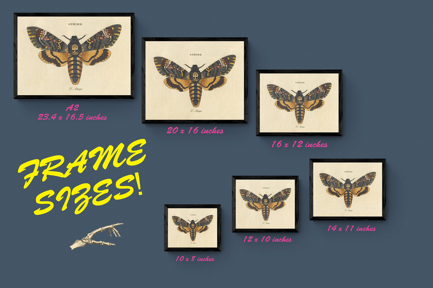
Available in a range of sizes, with print-only, mounted or framed options
Mounts are antique white as standard – black mounts are available on request
Solid wood frames, made in the UK and finished with care:
Black/White – 20mm wide, 15mm deep
Dark Rosewood – 35mm wide, 15mm deep
Walnut Gold – 28mm wide, 14mm deep
Frames include perspex glazing and MDF backs
Please note: not all sizes are available mounted; all sizes refer to the print area
Perfect for a study, hallway or coastal-inspired interior, this Falkland Islands map brings a touch of nautical history and timeless style to any wall.
Licence Attribution - This is an edited version of the following public domain image: https://commons.wikimedia.org/wiki/File:Hawkin%27s_Maiden-Land_called_afterwards_Flakland%27s_Islands_then_by_the_french_Isles_Nouvelles_et_Isles_Malouines_and_lately_bien_the_Spaniards_of_Buenos-Ayres,_Yslas_de_Magallanes_-_by_Thomas_Jefferys..._-_btv1b53121629k_(1_of_2).jpg