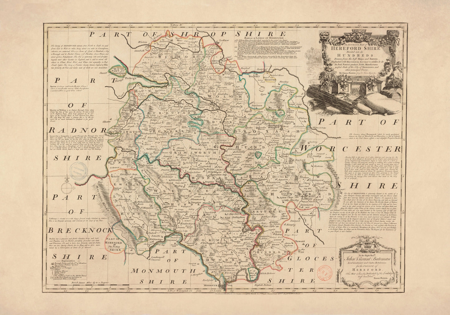
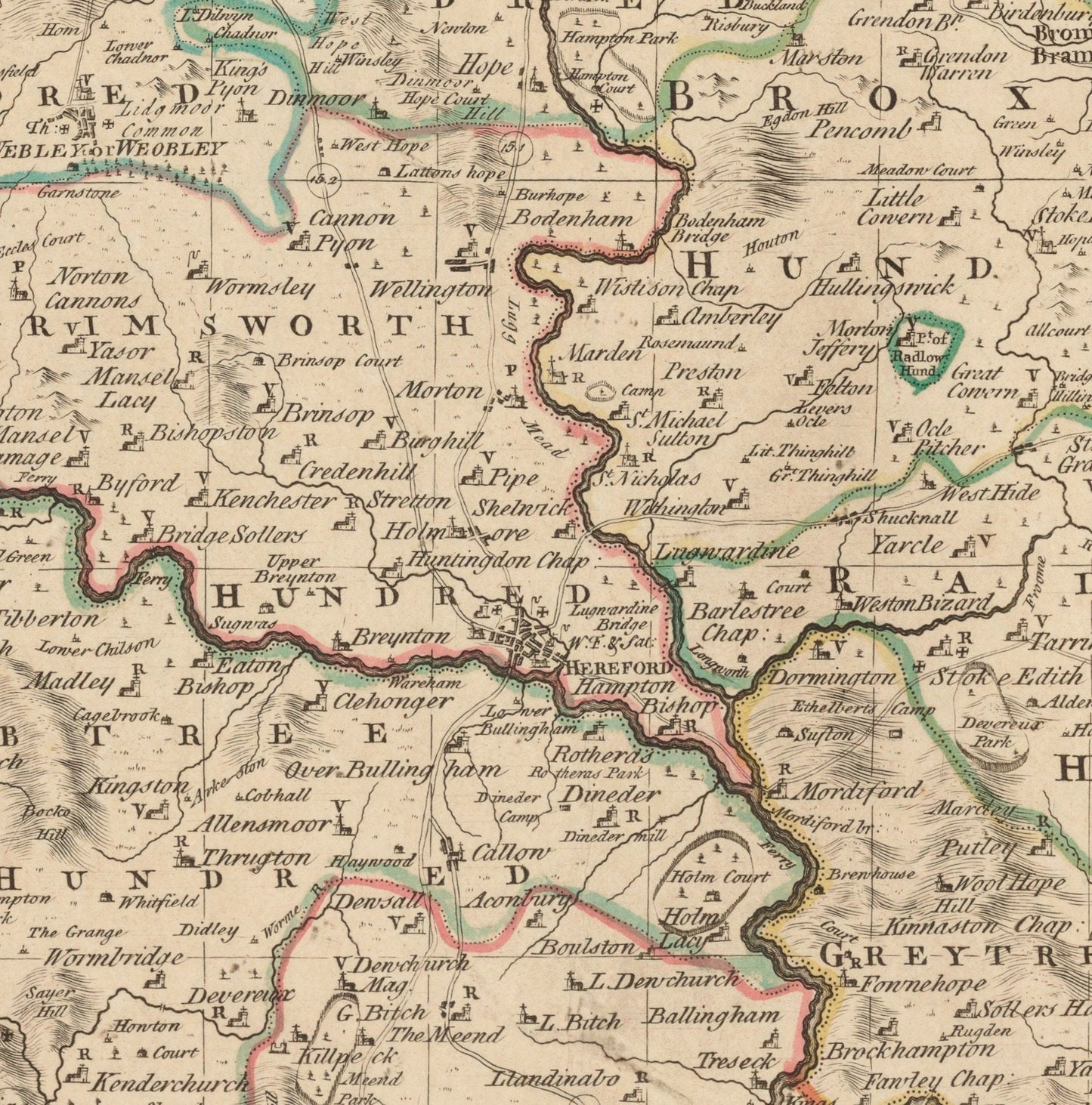
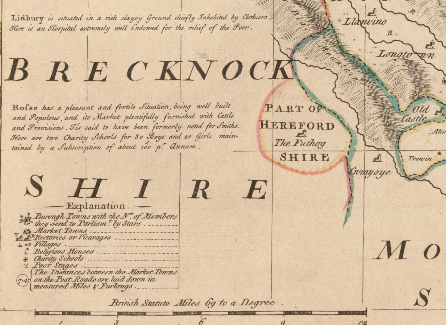
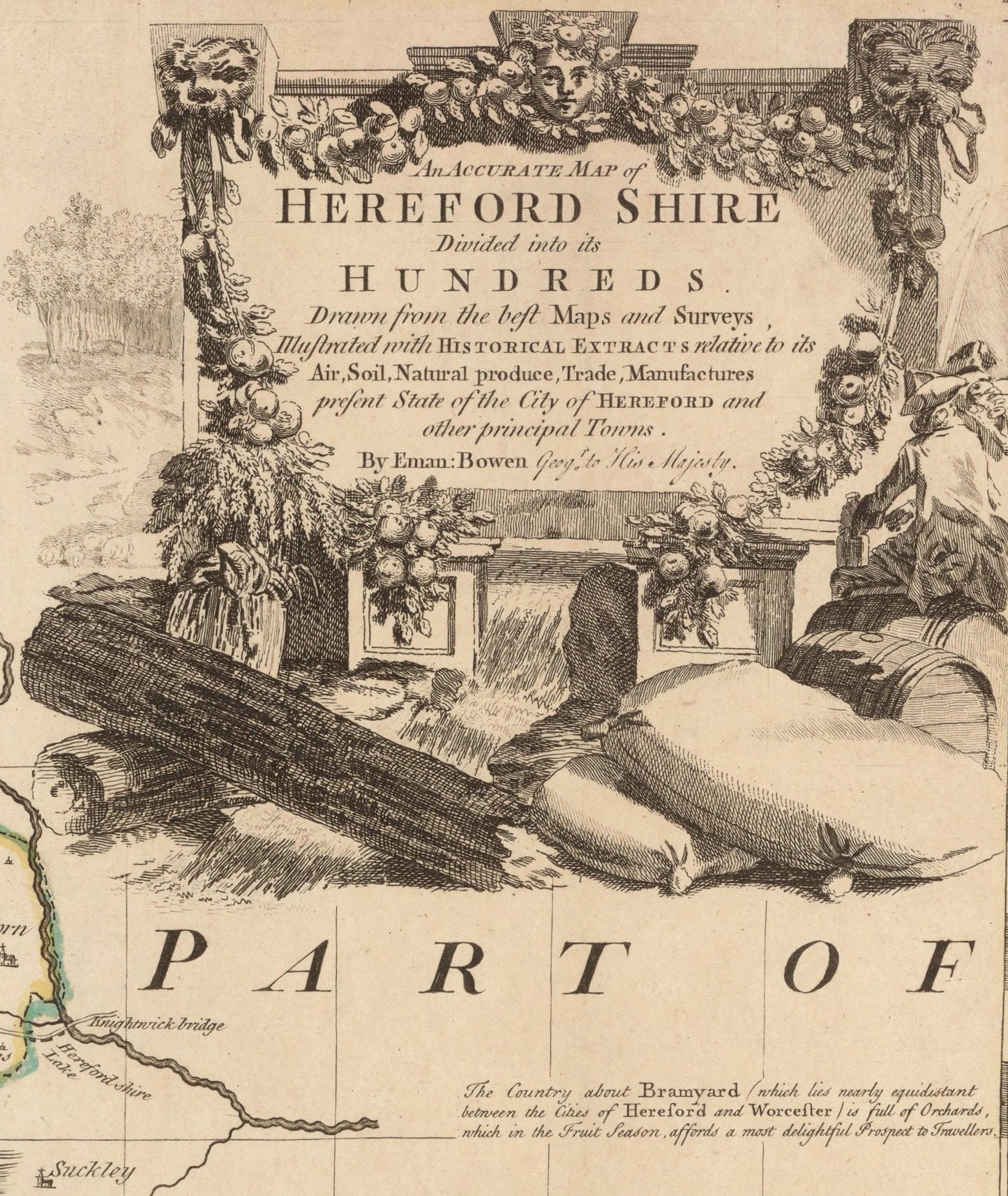
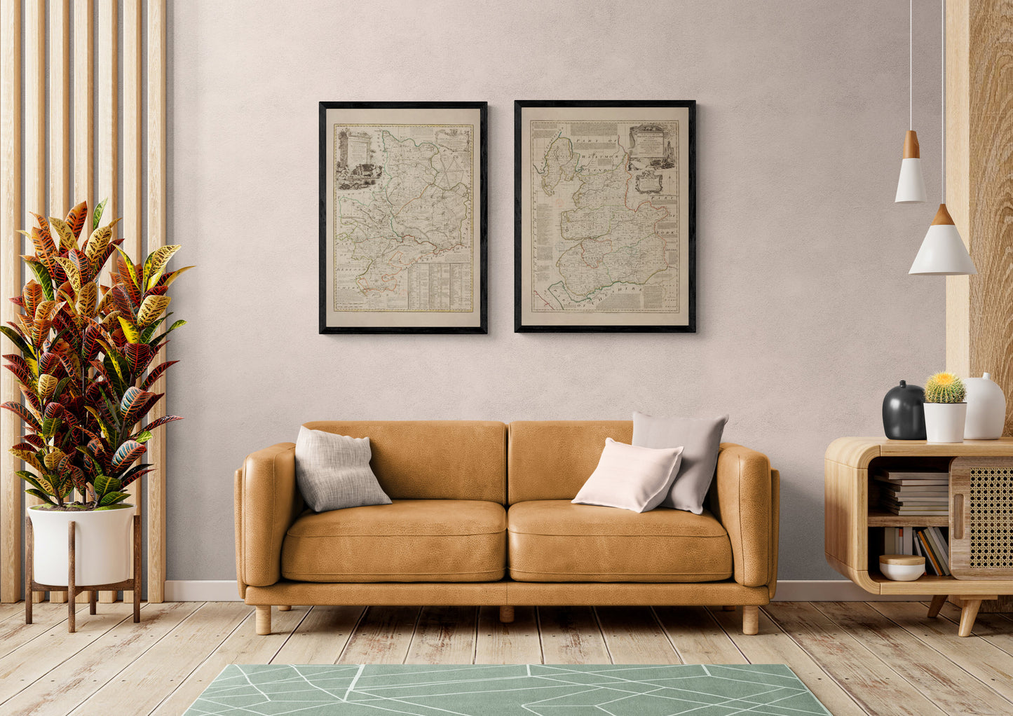
For anyone with roots in Herefordshire, or simply a love of antique county maps, this print has real appeal. Dated 1760 and originally by Emanuel Bowen, it captures Hereford and the surrounding countryside in that beautifully detailed, quietly elegant style that makes old British cartography so enduring. Rich with historic place names, boundaries and period character, it is a lovely choice for local history enthusiasts, country house interiors and anyone wanting wall art with a strong sense of place.
This is an edited reproduction made from antique/public domain source imagery.
Print quality
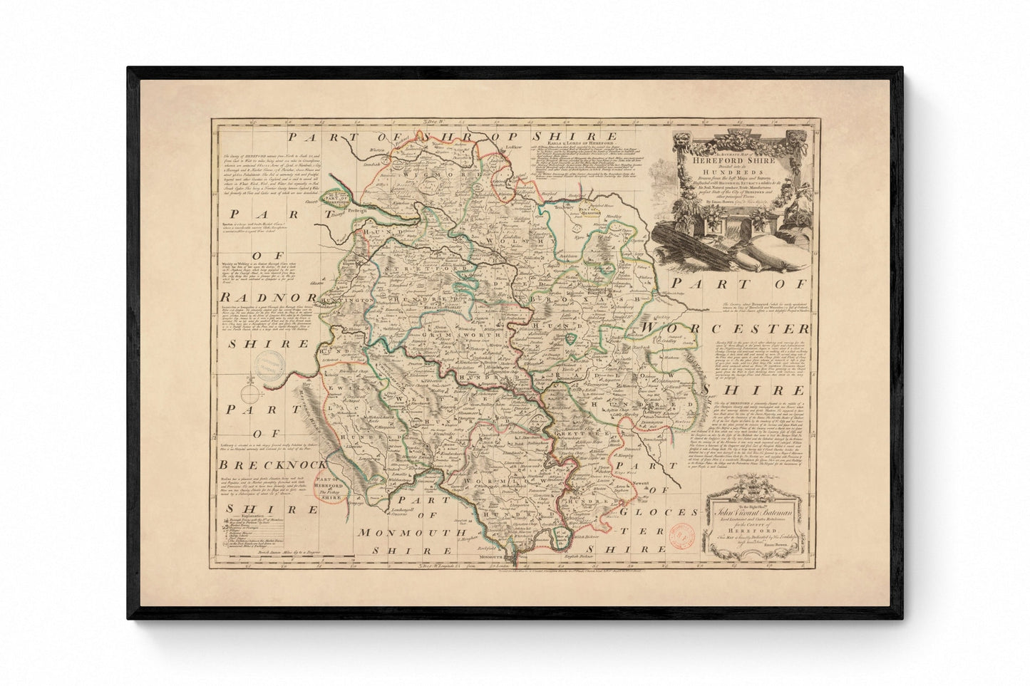
Printed on beautifully textured 300gsm cotton rag paper using archival pigment inks, this vintage Herefordshire map print has a rich, gallery-quality finish designed to bring out every fine line, aged tone and intricate cartographic detail.
Mounting & Framing
Mounting is available in antique white as standard, with black available on request.
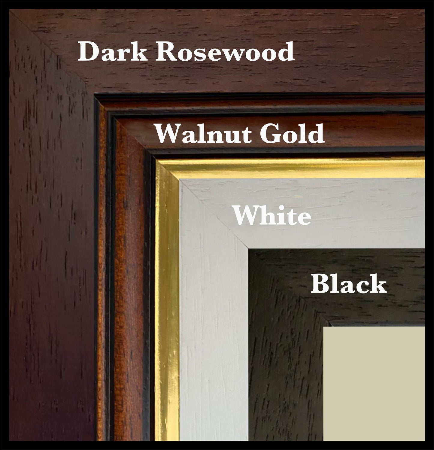
Frame options:
• Black - 20mm wide, 15mm deep
• White - 20mm wide, 15mm deep
• Dark Rosewood - 35mm wide, 15mm deep
• Walnut Gold - 28mm wide, 14mm deep
All frames are UK-made from solid wood and finished with perspex glazing and an MDF back. As wood is a natural material, grain and finish may vary slightly from the photos.
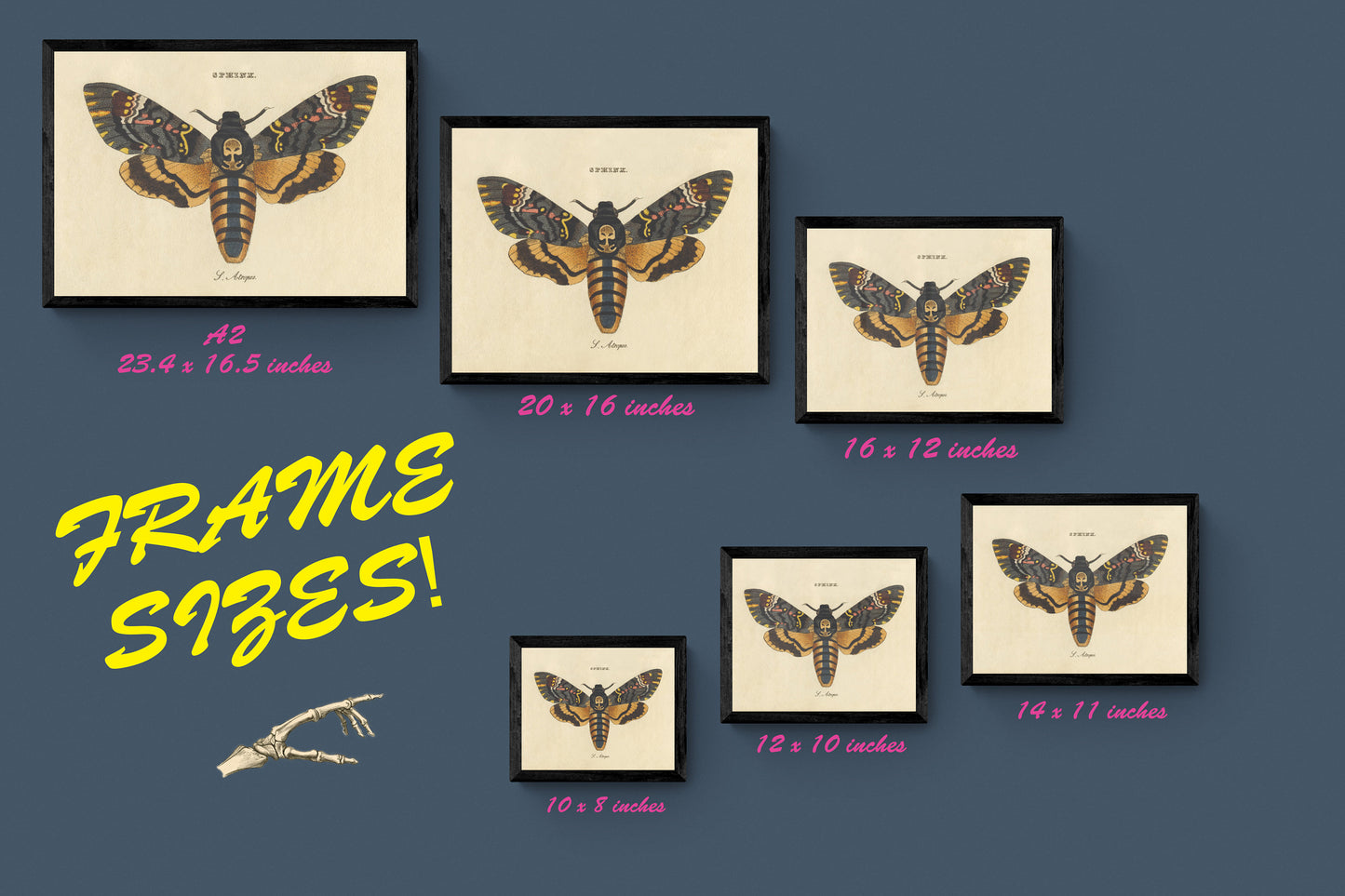
Not all sizes are available mounted. Sizes refer to the print area.
Attribution
This is an edited version of the following public domain image:
https://commons.wikimedia.org/wiki/File:An_Accurate_Map_of_Hereford_Shire_Divided_into_its_Hundreds_-_Drawn_from_the_best_Maps_and_Surveys,_Illustrated_with_Historical_Extracts_relative_to_its_Air,_Soil,_Natural_produce,_Trade,_Manufactures_present_State..._-_btv1b53057292j.jpg


