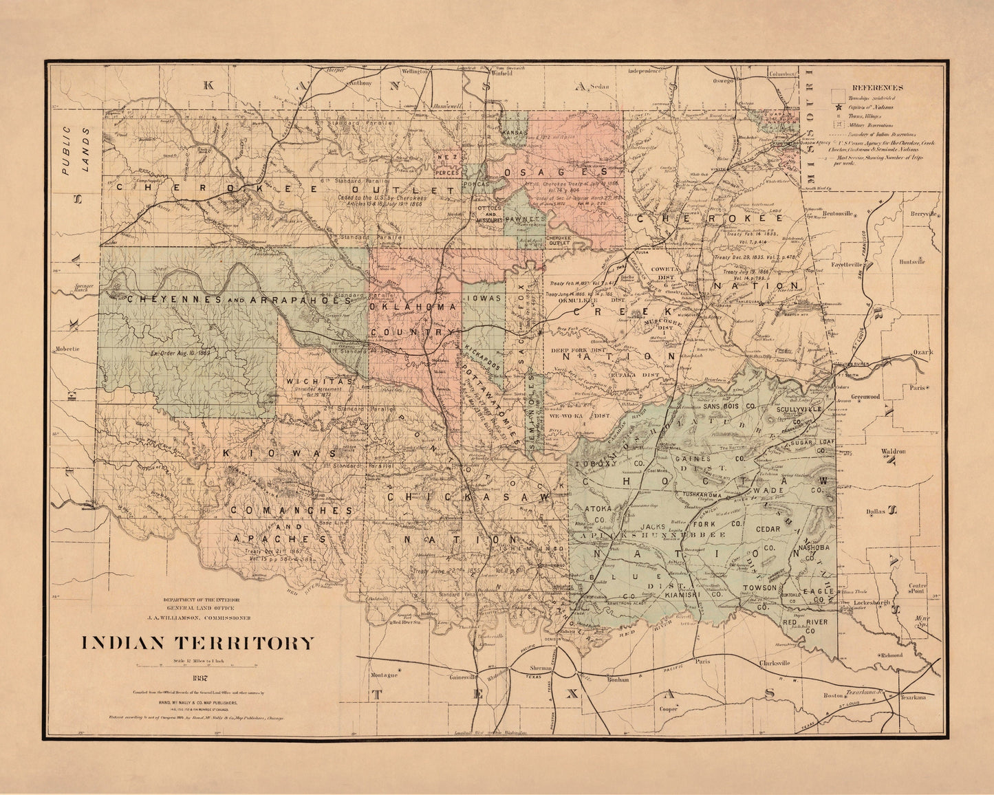
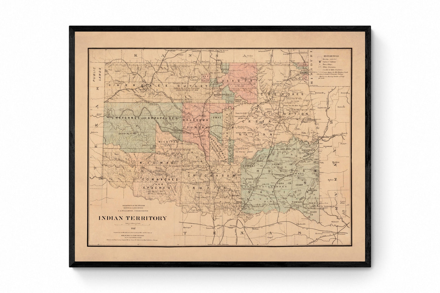
In 1887, “Indian Territory” was the name used on maps for a vast, complex region that would later become Oklahoma — a place shaped by forced removals, new settlements, rail lines, and constant political change. This vintage map captures that moment in time with crisp antique cartography and period place names, making a powerful piece for anyone interested in American history, historic maps, and the layered stories behind borders.
This is an edited reproduction made from antique/public domain source imagery.
Print quality Printed on 300gsm fine art cotton rag paper using archival pigment-based inks for superb quality and longevity.
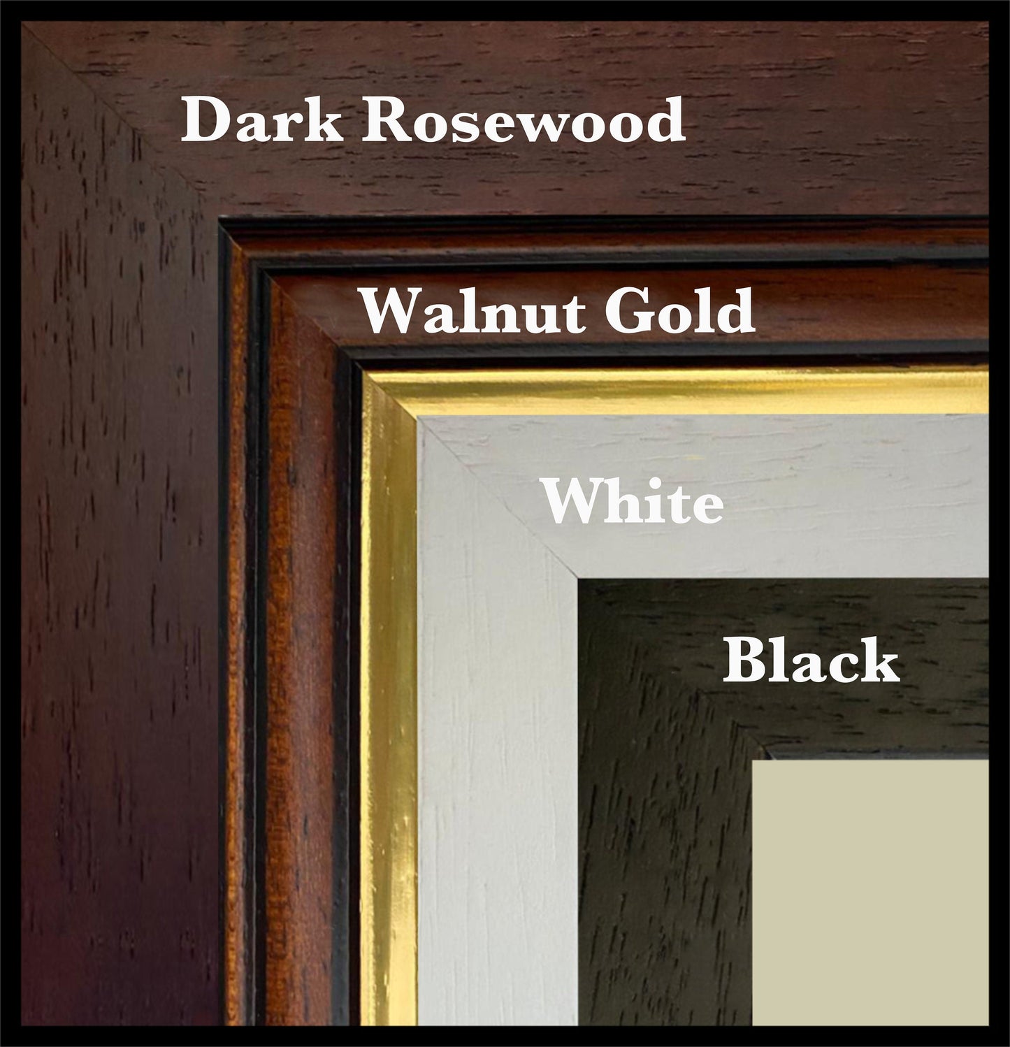
Mounting & Framing Mounts are antique white by default, but you may request black when ordering (please note this in your order). Our solid wood frames are made in the UK and finished with care. Frame options (dimensions): • Black/White: 20mm wide, 15mm deep • Dark Rosewood: 35mm wide, 15mm deep • Walnut Gold: 28mm wide, 14mm deep Frames include perspex glazing and MDF backs. As wood is a natural material, variations in tone and grain may occur. Not all sizes are available mounted. Sizes refer to the print area.