Bring timeless cartographic character to your walls with this Ireland from the Ordnance Survey Map (19th Century) antique reproduction print — a beautifully detailed vintage wall map filled with classic typography and fine geographic detail. It’s perfect for lovers of antique maps, Irish history, and heritage décor, and makes a striking statement in a study, hallway, office, library, or gallery wall.
This is an edited reproduction of an antique print, created using antique and public domain source imagery.
Print quality Printed on 300gsm fine art cotton rag paper using archival pigment-based inks for crisp detail and long-lasting colour.
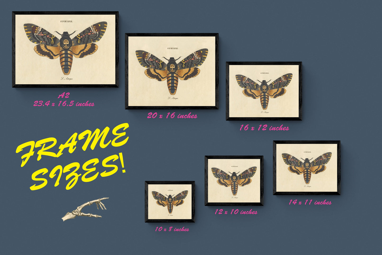
Mounting & Framing All mounting is antique white as standard (black mounts are available — leave a note with your order if you prefer black).
Frame details: • Black/White finish — 20mm wide and 15mm deep • Dark Rosewood finish — 35mm wide and 15mm deep • Walnut Gold finish — 28mm wide and 14mm deep
Frames are made in the UK from solid wood with a varnish or paint finish, and include perspex glazing and an MDF back. As wood is a natural material, the colour of the finish and grain may vary slightly.