Ninska Designs
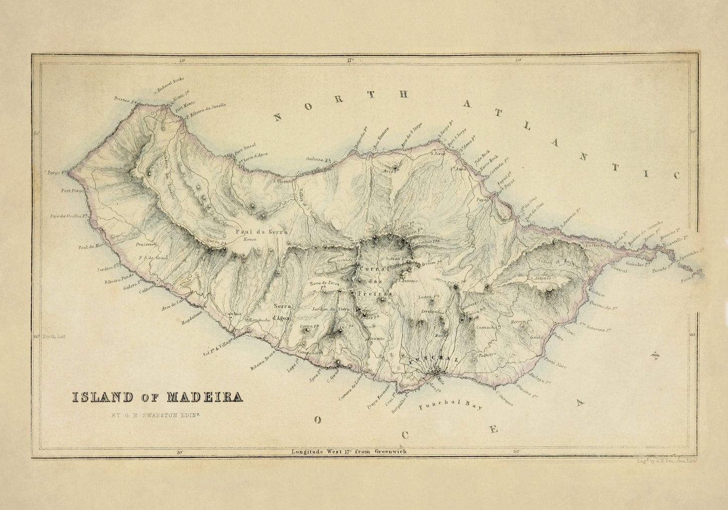
Island of Madeira Map dated 1871
Island of Madeira Map dated 1871
Couldn't load pickup availability
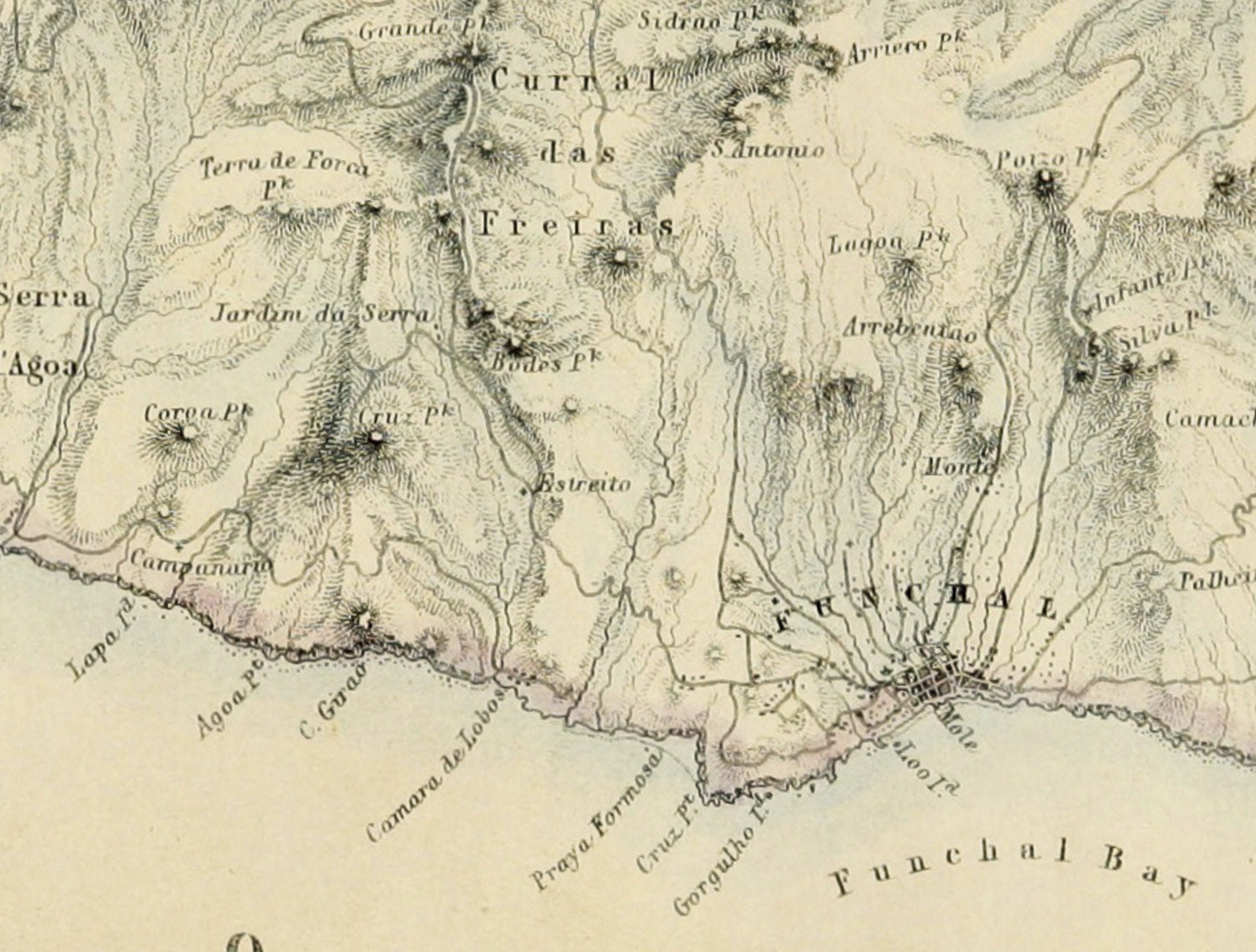
There is something especially appealing about an antique island map, and this 1871 map of Madeira has all the detail and character that make old cartography so easy to love. With its dramatic coastline, mountain ranges, settlements, and crisp period lettering, it captures the island in that beautifully intricate Victorian style that feels both scholarly and decorative. It is the kind of print that brings a sense of travel, history, and quiet adventure to a room. This is an edited reproduction made from antique/public domain source imagery.
Perfect for a study, hallway, office, library, or travel-inspired interior, this vintage Madeira map print is a wonderful choice for lovers of antique cartography, Portuguese history, Atlantic island decor, and heritage wall art with real personality. Whether you have a connection to Madeira, love historic maps of Portugal, or simply want something a little more interesting than the usual landscape print, this piece has real presence. It feels elegant, storied, and full of places waiting to be traced by eye.
Print quality
Printed on 300gsm fine art cotton rag paper using archival pigment inks for superb detail, depth and longevity.
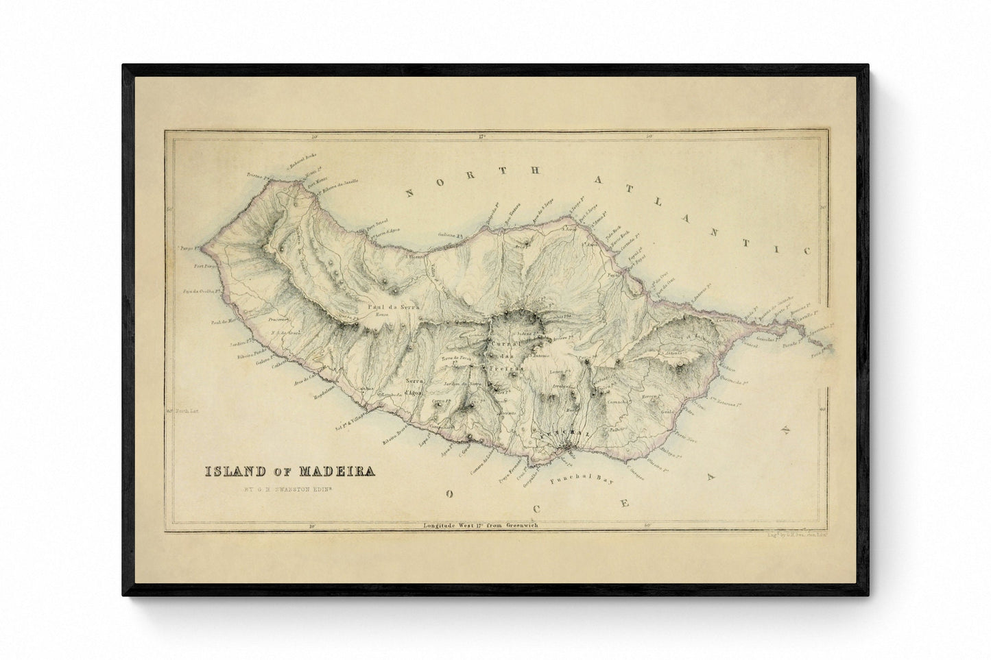
Mounting & Framing
Mounted prints are supplied with an antique white mount as standard, though a black mount is available on request.
Frames are UK-made in solid wood and finished with perspex glazing and an MDF back.
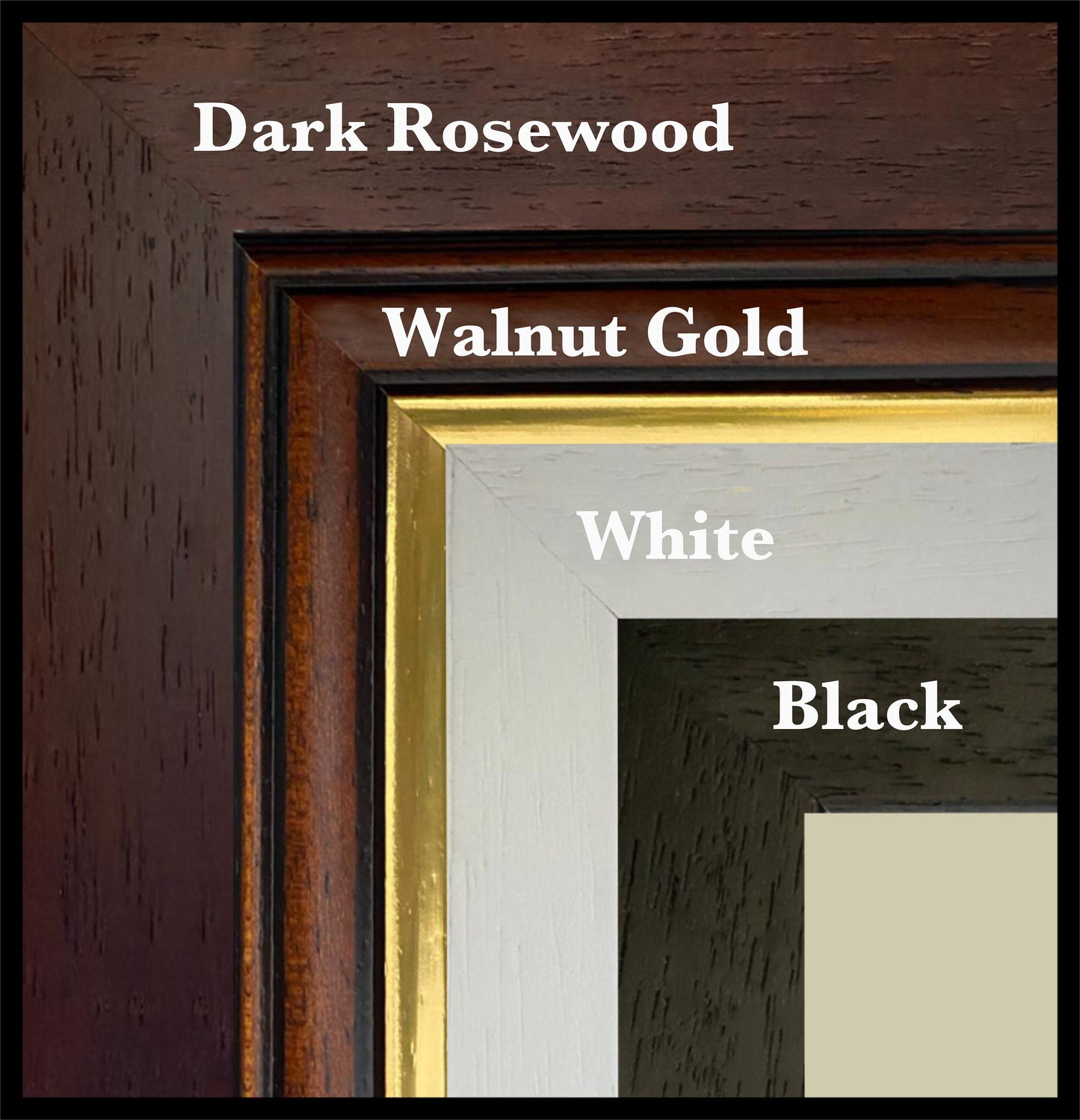
• Black/White – 20mm wide, 15mm deep
• Dark Rosewood – 35mm wide, 15mm deep
• Walnut Gold – 28mm wide, 14mm deep
As wood is a natural material, variations in tone and grain may occur. Not all sizes are available mounted. Sizes refer to the print area.
Attribution
This is an edited version of the following public domain image:
https://commons.wikimedia.org/wiki/File:37_of_%27A_Gazetteer_of_the_World_..._Edited_by_a_member_of_the_Royal_Geographical_Society,_etc%27_(11059711155).jpg
.jpg)
Share