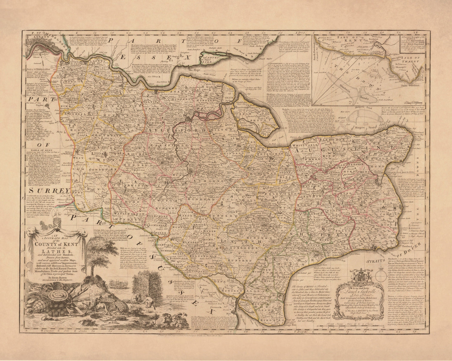
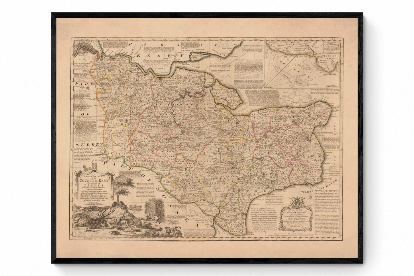
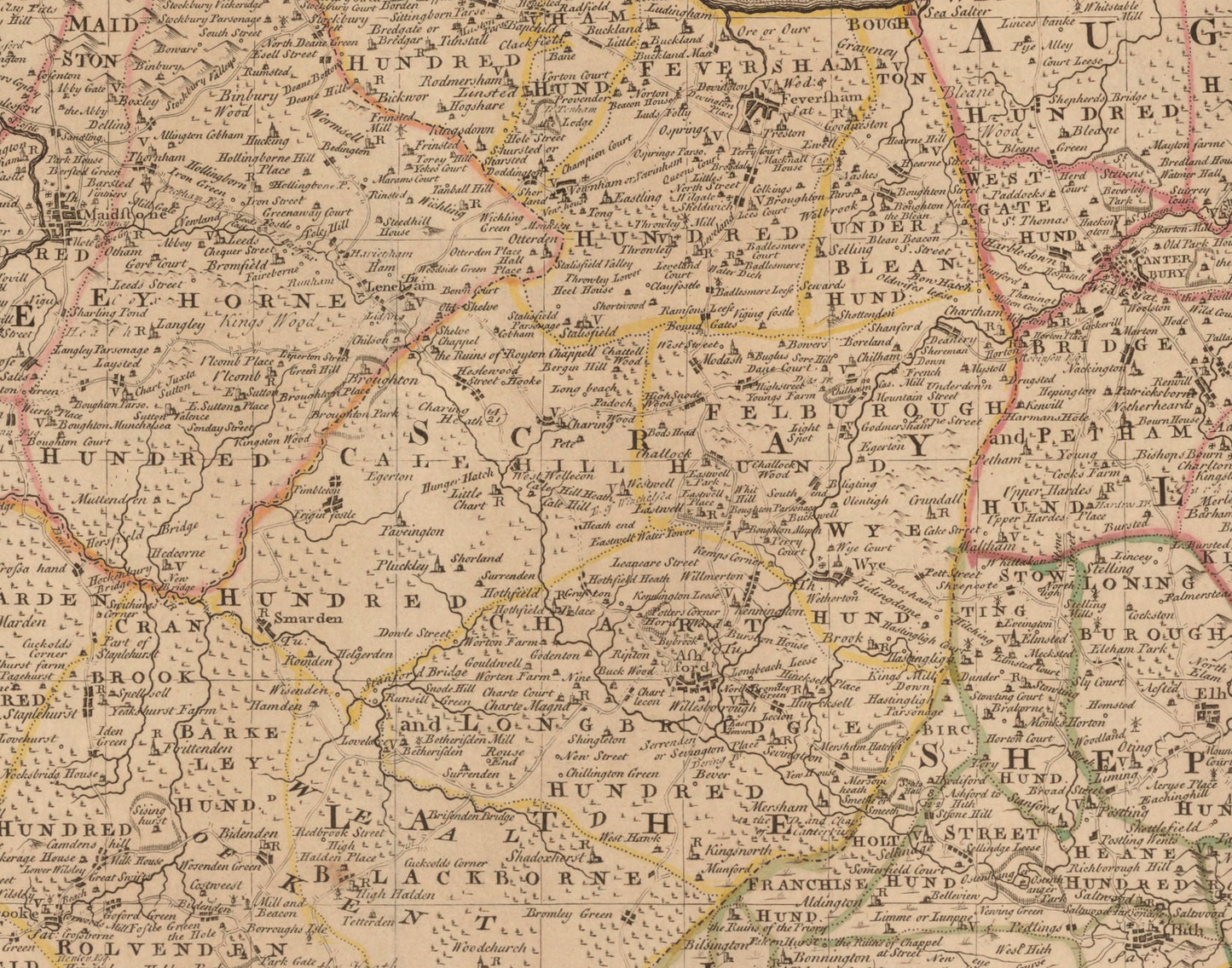
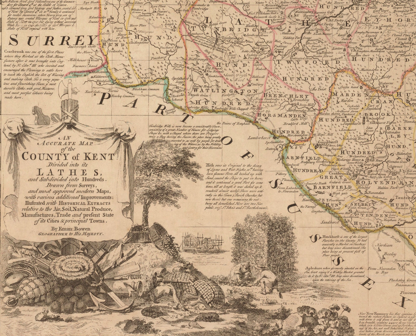
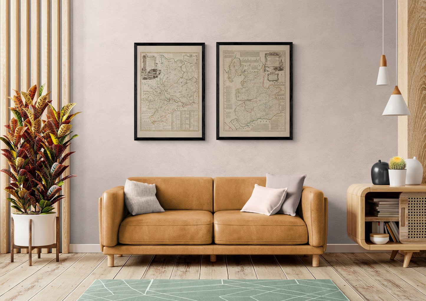
Kent has always been England’s front door — chalk cliffs facing Europe, pilgrim routes to Canterbury, and coastlines shaped by trade, defence, and the odd smuggler’s tale. This 1740 map of Kent captures the county in crisp antique detail, with historic place names and that classic Georgian cartographic style that looks beautiful in a hallway, study, or gallery wall of vintage maps.
This is an edited reproduction made from antique/public domain source imagery.
Print quality Printed on 300gsm fine art cotton rag paper using archival pigment-based inks for superb quality and longevity.
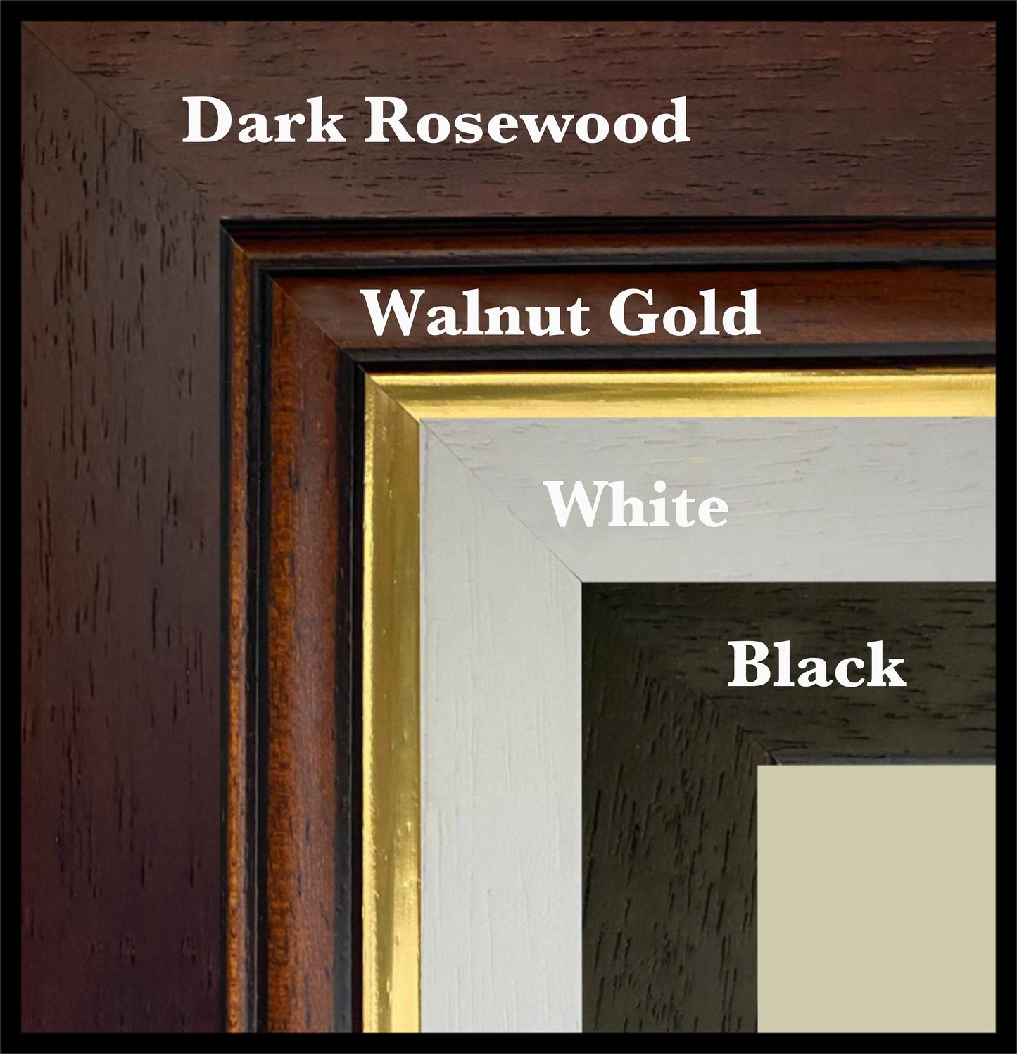
Mounting & Framing Mounts are antique white by default, but you may request black when ordering (please note this in your order). Our solid wood frames are made in the UK and finished with care. Frame options (dimensions): • Black/White: 20mm wide, 15mm deep • Dark Rosewood: 35mm wide, 15mm deep • Walnut Gold: 28mm wide, 14mm deep Frames include perspex glazing and MDF backs. As wood is a natural material, variations in tone and grain may occur. Not all sizes are available mounted. Sizes refer to the print area.