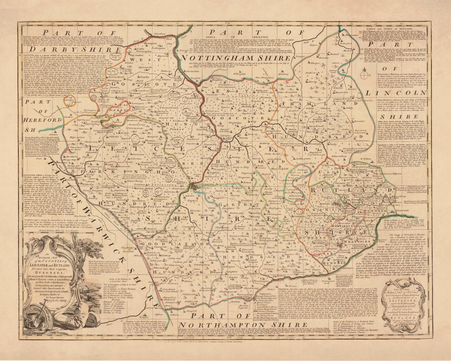
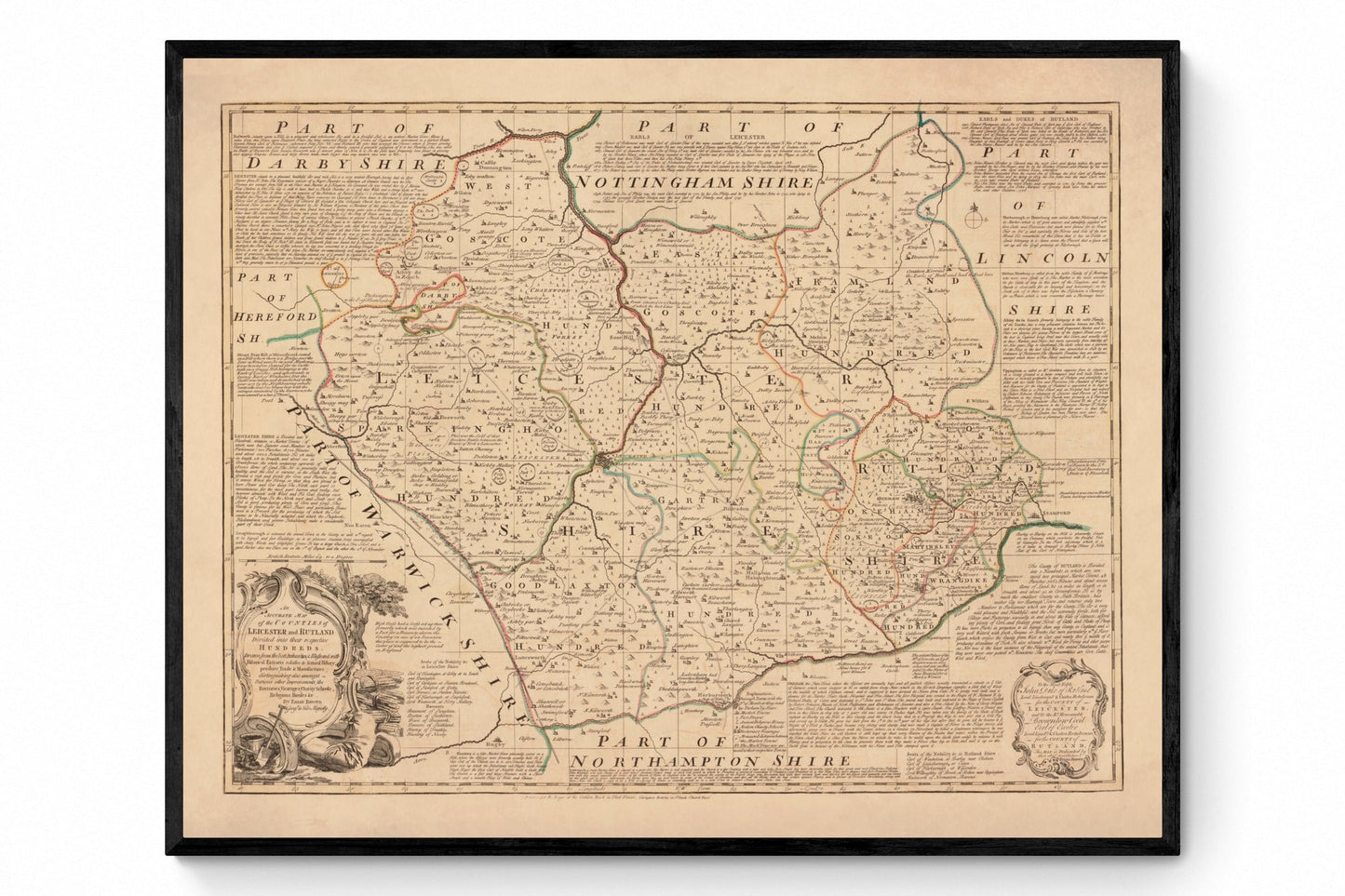
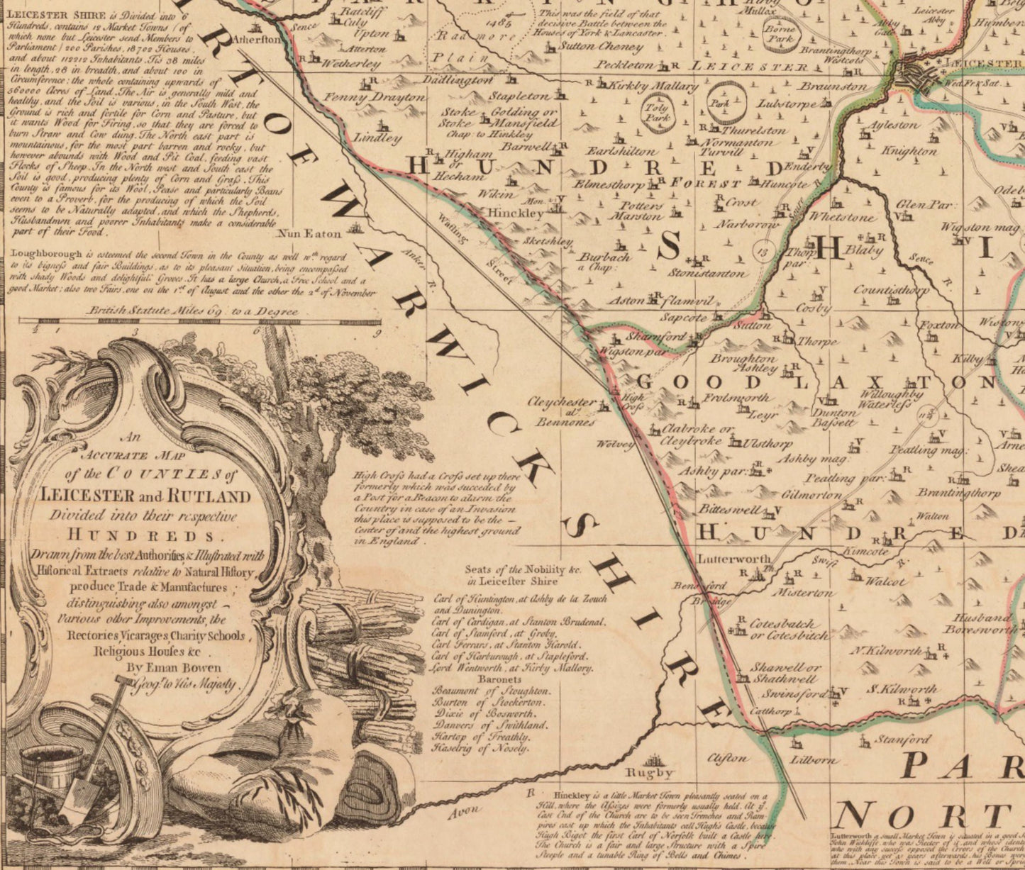
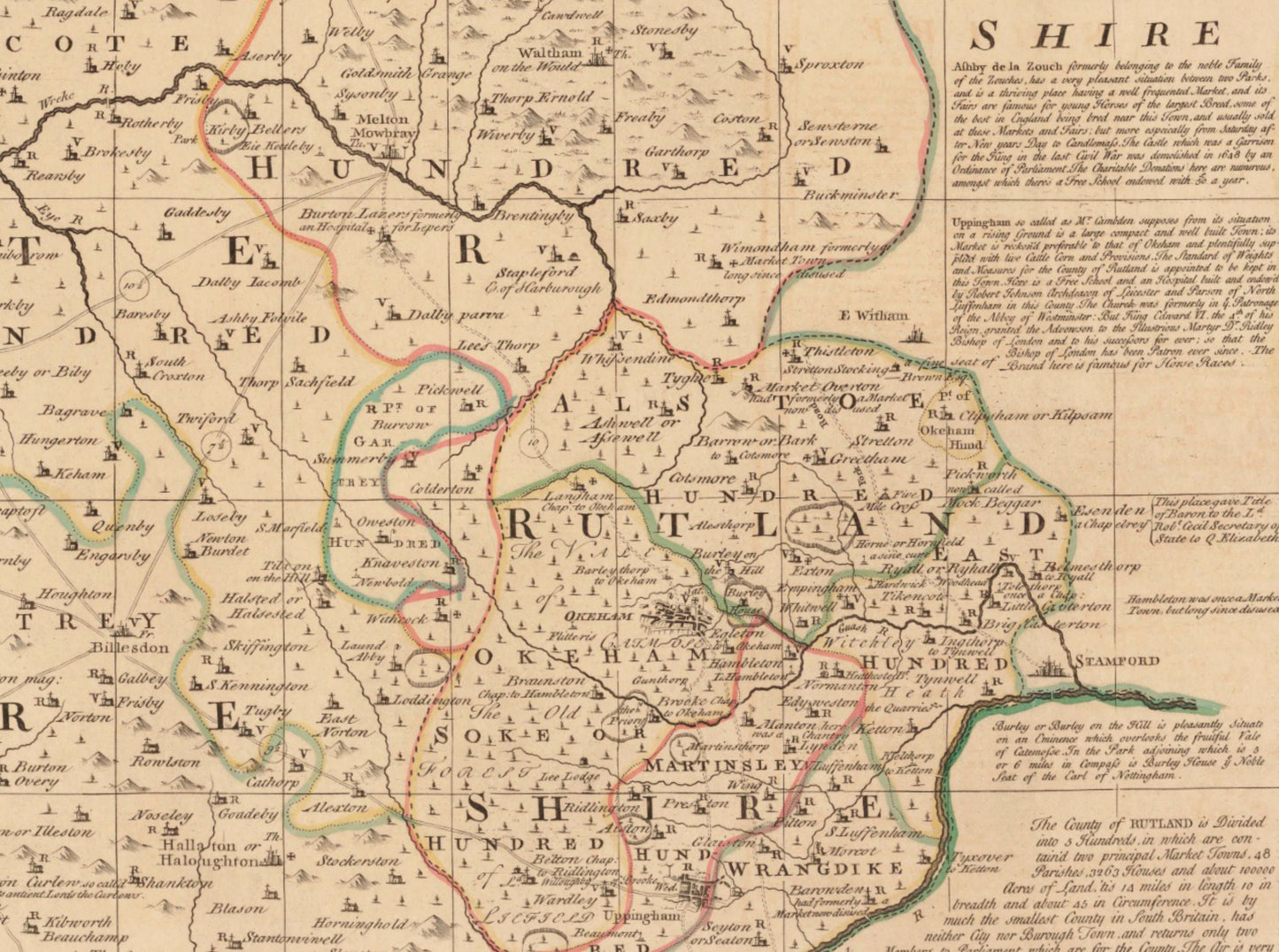
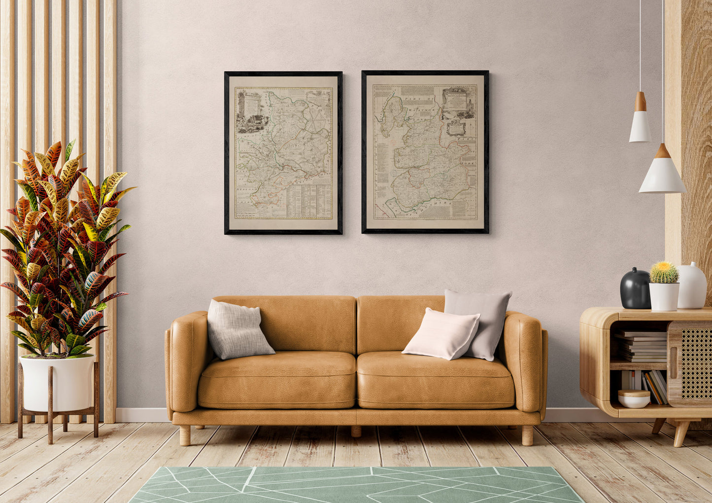
Leicestershire and Rutland sit at the heart of England, a landscape of market towns, country lanes, and long-established estates — and a 1760 county map captures that quietly handsome character in crisp antique detail. This vintage Leicestershire and Rutland map is perfect for anyone with local ties, a love of English history, or a soft spot for classic Georgian cartography on a gallery wall.
This is an edited reproduction made from antique/public domain source imagery.
Print quality Printed on 300gsm fine art cotton rag paper using archival pigment-based inks for superb quality and longevity.
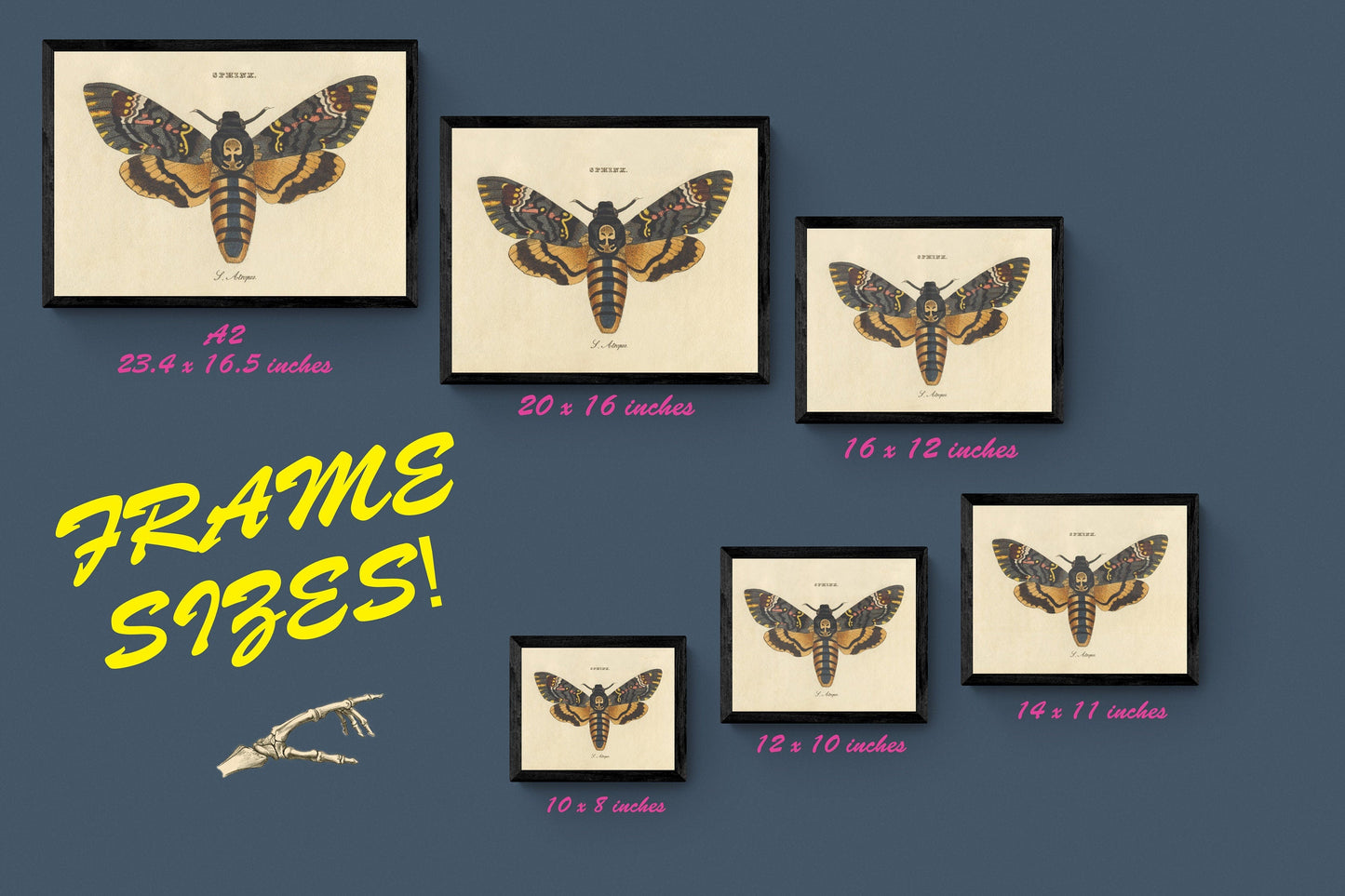
Mounting & Framing Mounts are antique white by default, but you may request black when ordering (please note this in your order). Our solid wood frames are made in the UK and finished with care. Frame options (dimensions): • Black/White: 20mm wide, 15mm deep • Dark Rosewood: 35mm wide, 15mm deep • Walnut Gold: 28mm wide, 14mm deep Frames include perspex glazing and MDF backs. As wood is a natural material, variations in tone and grain may occur. Not all sizes are available mounted. Sizes refer to the print area.