Ninska Designs
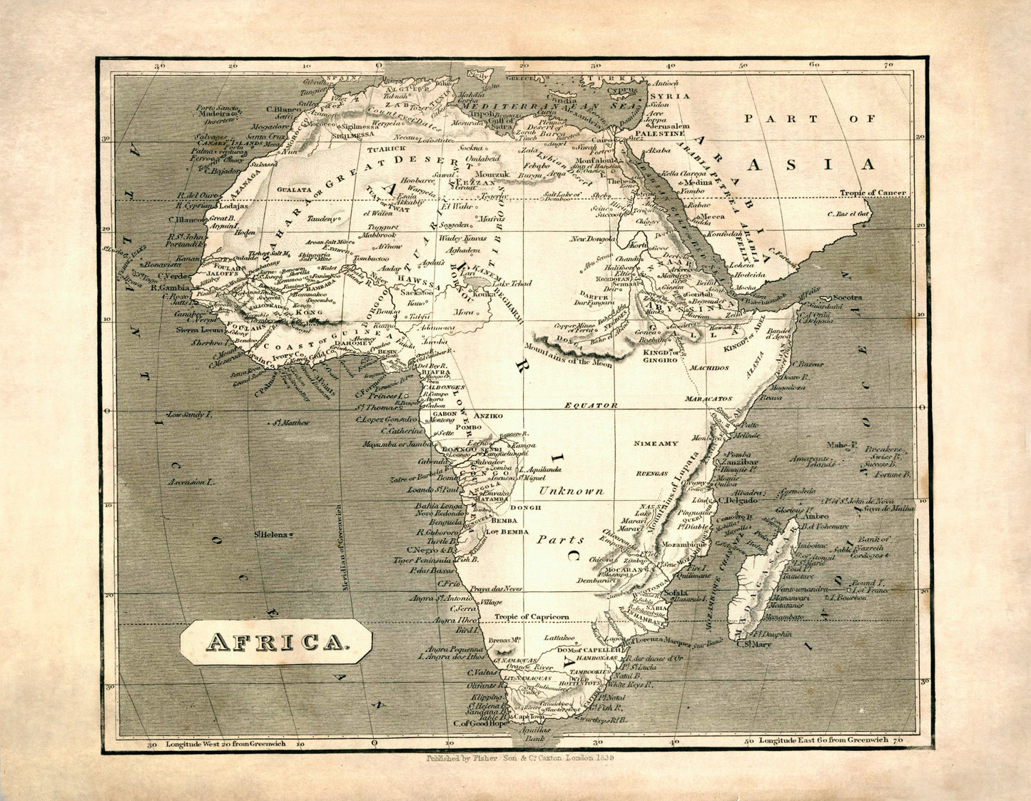
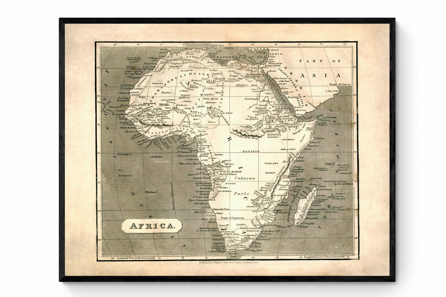
Map of Africa in 1840
Map of Africa in 1840
Couldn't load pickup availability
T
There is something especially compelling about antique maps of Africa from this period - they reveal as much about nineteenth-century imagination as they do about geography. Dated 1840, this striking map shows the continent in rich vintage detail, including areas then marked as unexplored, giving it all the intrigue of an old explorer's chart and the quiet drama of Victorian cartography. It is a wonderful piece for lovers of African history, antique maps and interiors that favour character, curiosity and a real sense of story.
This is an edited reproduction made from antique/public domain source imagery.
Print quality
Printed on beautifully textured 300gsm cotton rag paper using archival pigment inks, this vintage Africa map print has a rich, gallery-quality finish designed to bring out every fine line, aged tone and intricate cartographic detail.
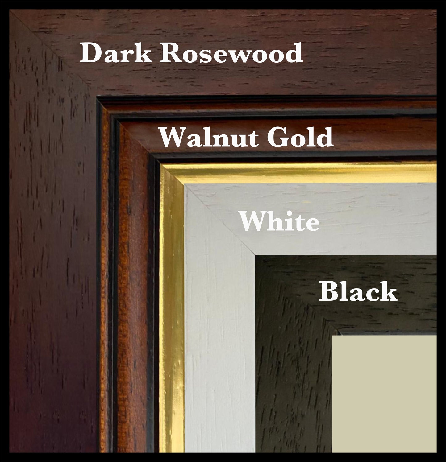
Mounting & Framing
Mounting is available in antique white as standard, with black available on request.
Frame options:
• Black - 20mm wide, 15mm deep
• White - 20mm wide, 15mm deep
• Dark Rosewood - 35mm wide, 15mm deep
• Walnut Gold - 28mm wide, 14mm deep
All frames are UK-made from solid wood and finished with perspex glazing and an MDF back. As wood is a natural material, grain and finish may vary slightly from the photos.
Not all sizes are available mounted. Sizes refer to the print area.
Share