Fife has always been a place of sea light and stone — fishing villages along the East Neuk, the old burgh streets of Cupar, and St Andrews sitting proudly on the coast. This 1654 map of the Kingdom of Fife captures the region in beautifully old-world detail, with classic antique cartography styling that looks stunning in a study, hallway, library wall, or as a meaningful piece for anyone with Scottish roots.
This is an edited reproduction made from antique/public domain source imagery.
Print quality Printed on 300gsm fine art cotton rag paper using archival pigment-based inks for superb quality and longevity.
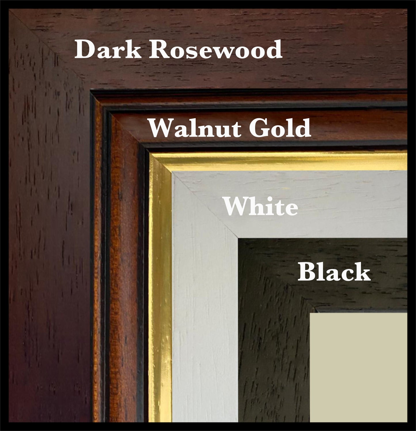
Mounting & Framing Mounts are antique white by default, but you may request black when ordering (please note this in your order). Our solid wood frames are made in the UK and finished with care. Frame options (dimensions): • Black/White: 20mm wide, 15mm deep • Dark Rosewood: 35mm wide, 15mm deep • Walnut Gold: 28mm wide, 14mm deep Frames include perspex glazing and MDF backs. As wood is a natural material, variations in tone and grain may occur. Not all sizes are available mounted. Sizes refer to the print area.