Ninska Designs
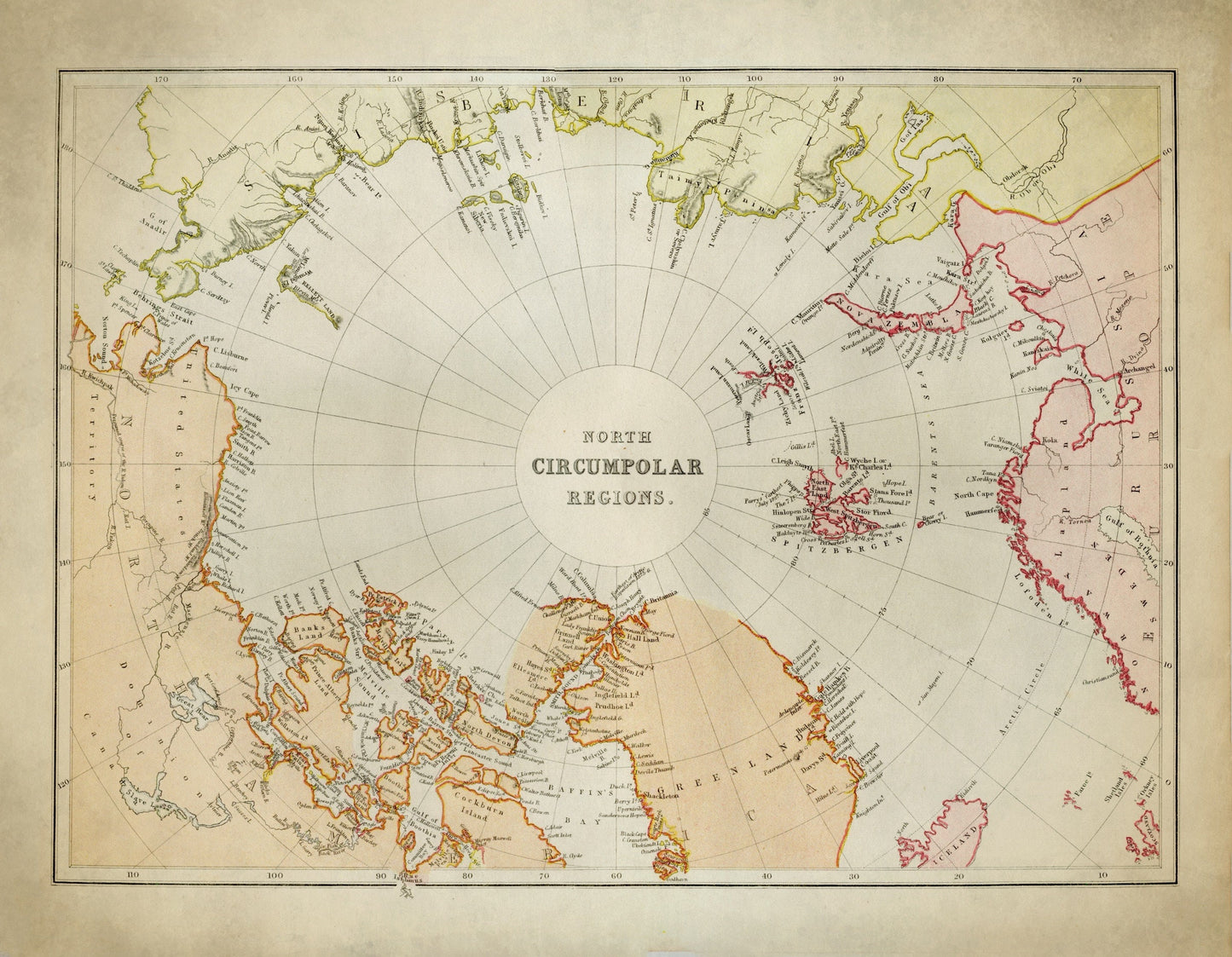
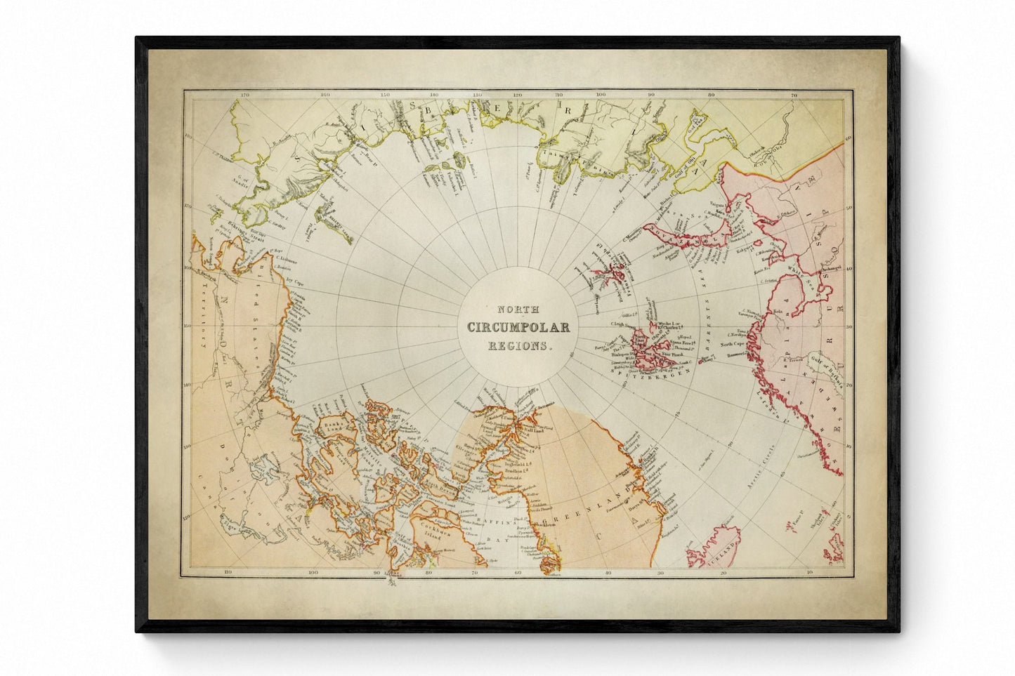
North Circumpolar Regions Map
North Circumpolar Regions Map
Couldn't load pickup availability
Few maps capture the pull of exploration quite like the Arctic. This 1882 North Circumpolar Regions print is full of that old-world sense of ambition and mystery, tracing the Arctic Circle and North Pole in beautifully detailed antique cartography. It has the feel of a nineteenth-century explorer’s chart - scholarly, adventurous and quietly dramatic - making it perfect for polar history enthusiasts, geography lovers and anyone drawn to vintage map wall art with real story behind it.
This is an edited reproduction made from antique/public domain source imagery.
Print quality
Printed on beautifully textured 300gsm cotton rag paper using archival pigment inks, this vintage Arctic map print has a rich, gallery-quality finish designed to bring out every fine line, icy contour and intricate cartographic detail.
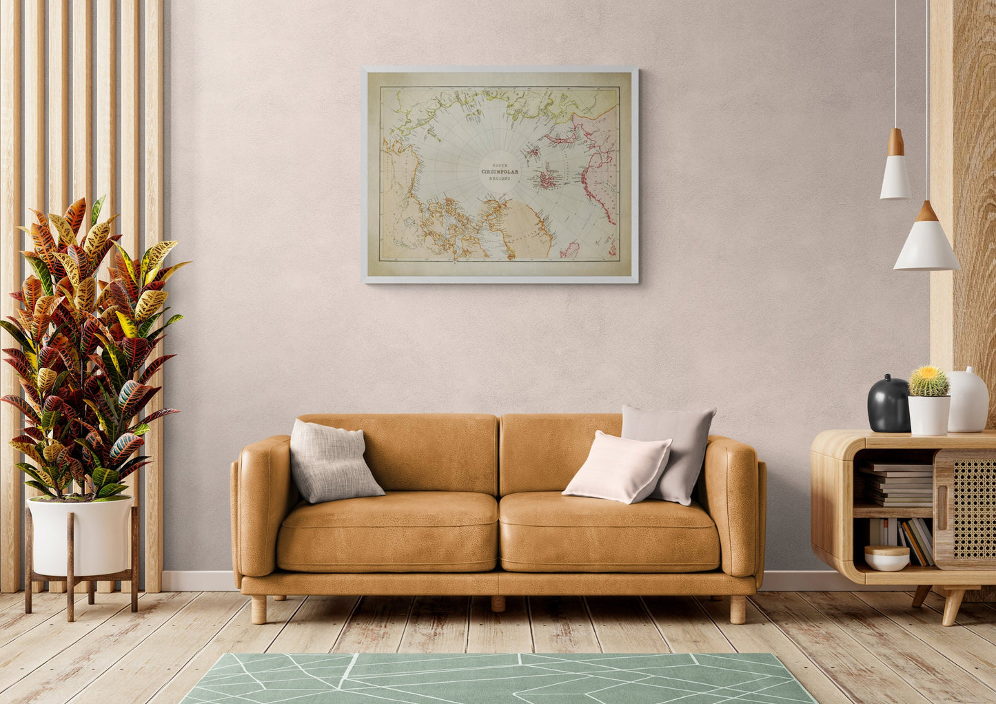
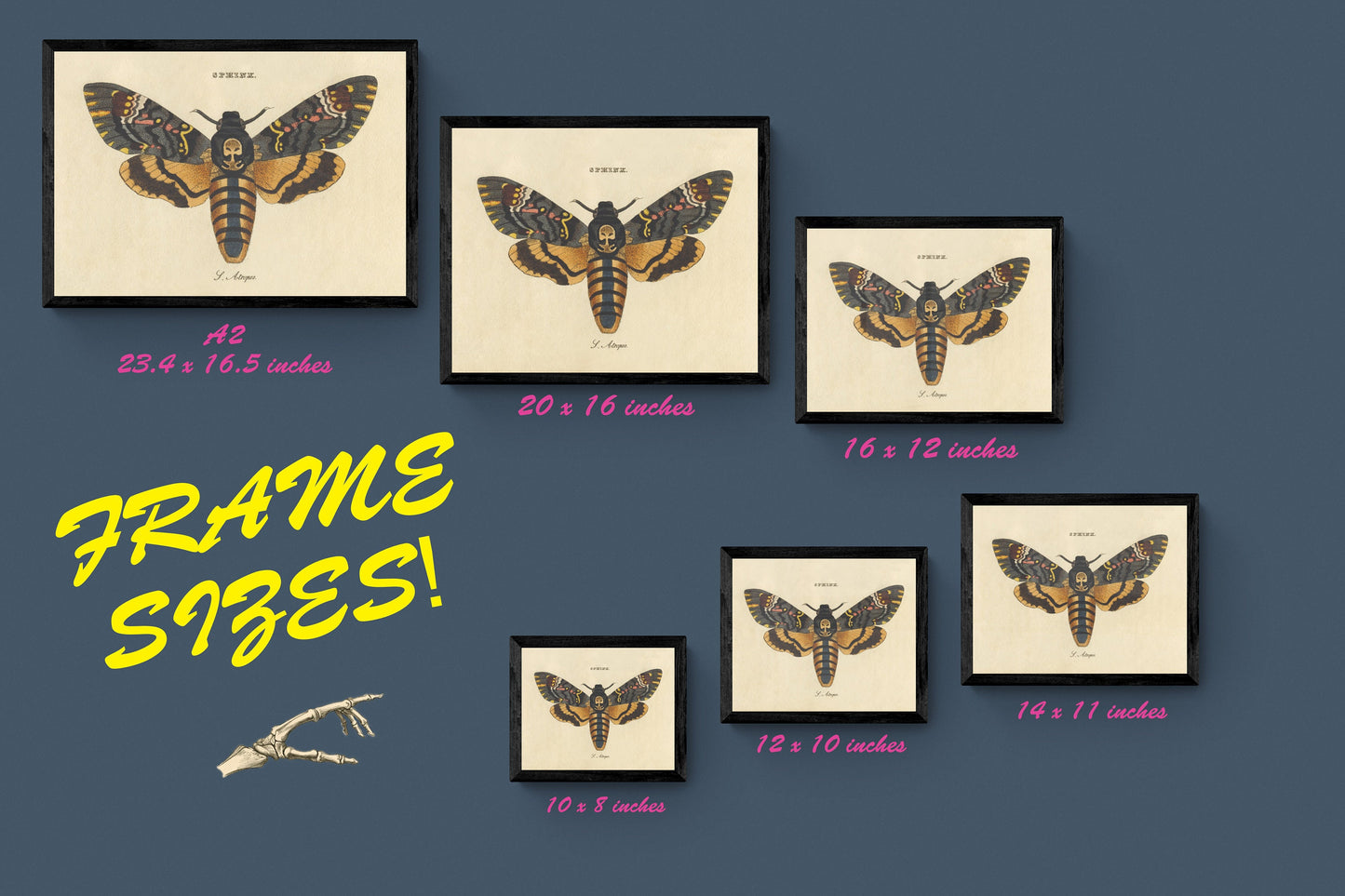
Mounting & Framing
Mounting is available in antique white as standard, with black available on request.
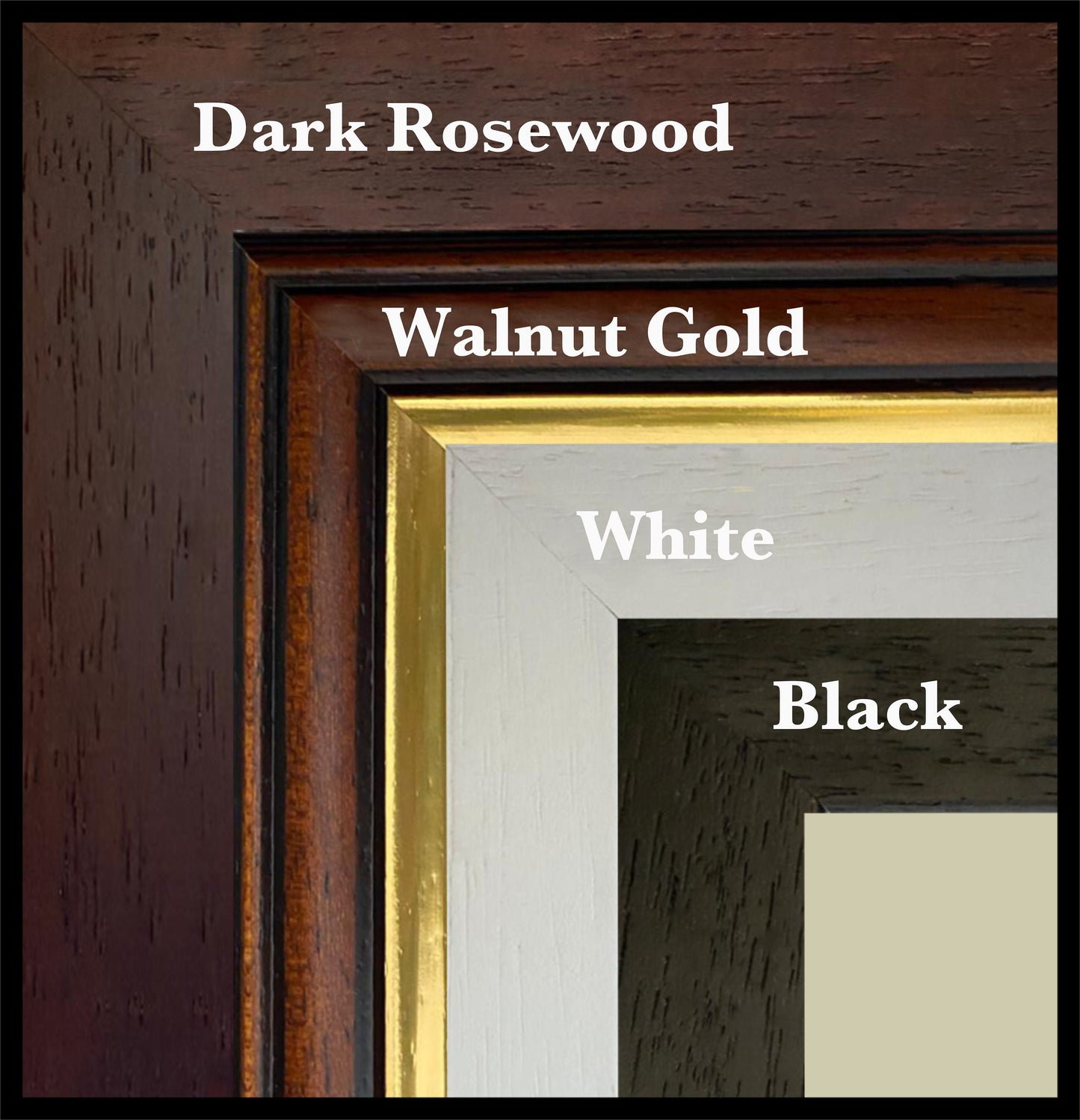
Frame options:
• Black - 20mm wide, 15mm deep
• White - 20mm wide, 15mm deep
• Dark Rosewood - 35mm wide, 15mm deep
• Walnut Gold - 28mm wide, 14mm deep
All frames are UK-made from solid wood and finished with perspex glazing and an MDF back. As wood is a natural material, grain and finish may vary slightly from the photos.
Not all sizes are available mounted. Sizes refer to the print area.
Share