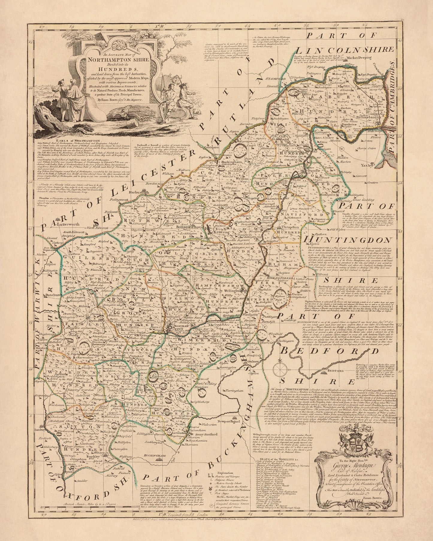
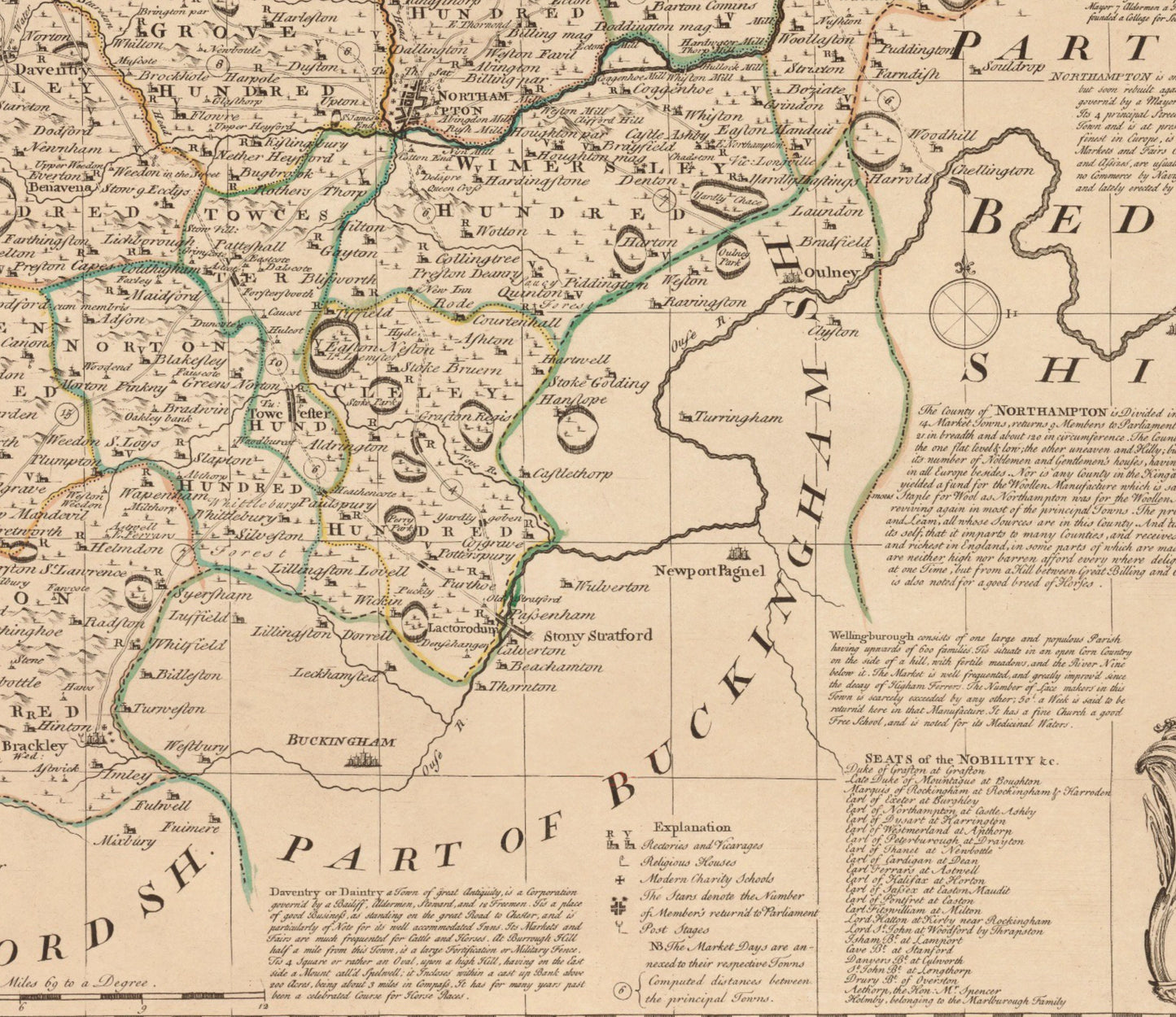
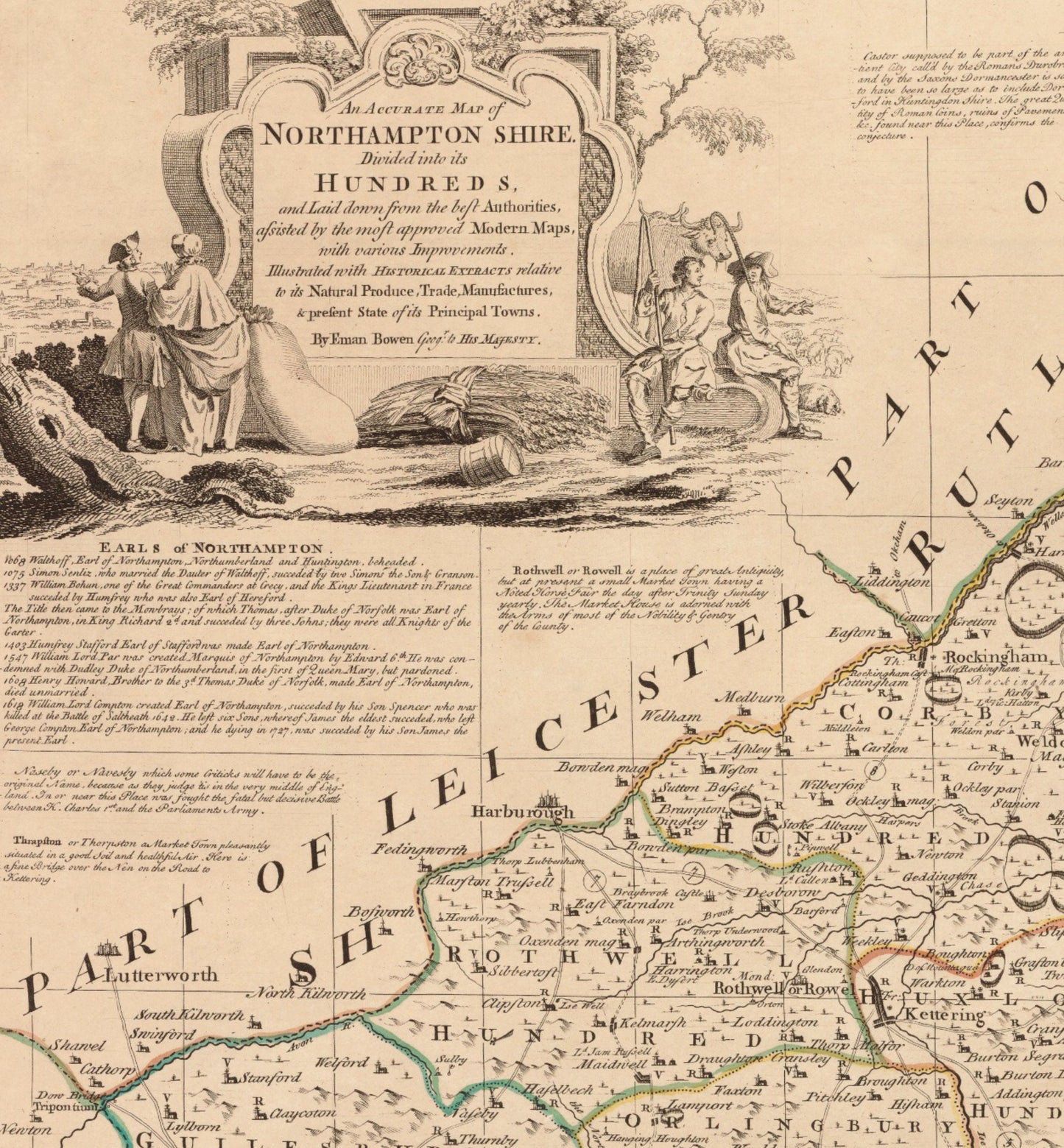
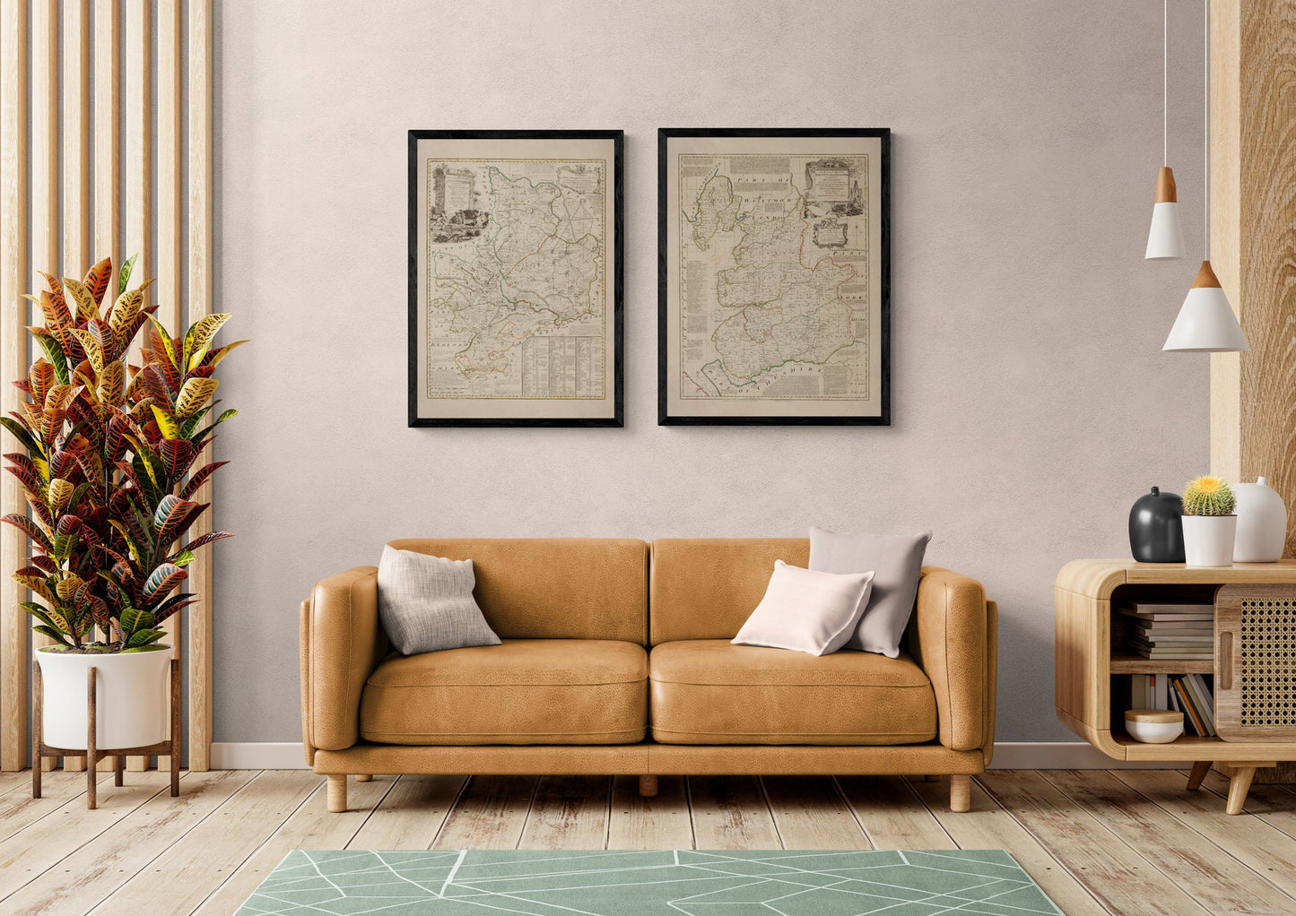
Northamptonshire has always been a county of crossroads — market towns, coaching routes, and grand country estates — and a 1760 map captures it at its most characterful. With its crisp border, historic place names and that wonderfully old-world cartographic style, this vintage Northamptonshire county map makes a handsome piece of antique wall art for a study, hallway, library wall, or anyone who loves English local history and classic interiors.
This is an edited reproduction made from antique/public domain source imagery.
Print quality Printed on 300gsm fine art cotton rag paper using archival pigment-based inks for superb quality and longevity.
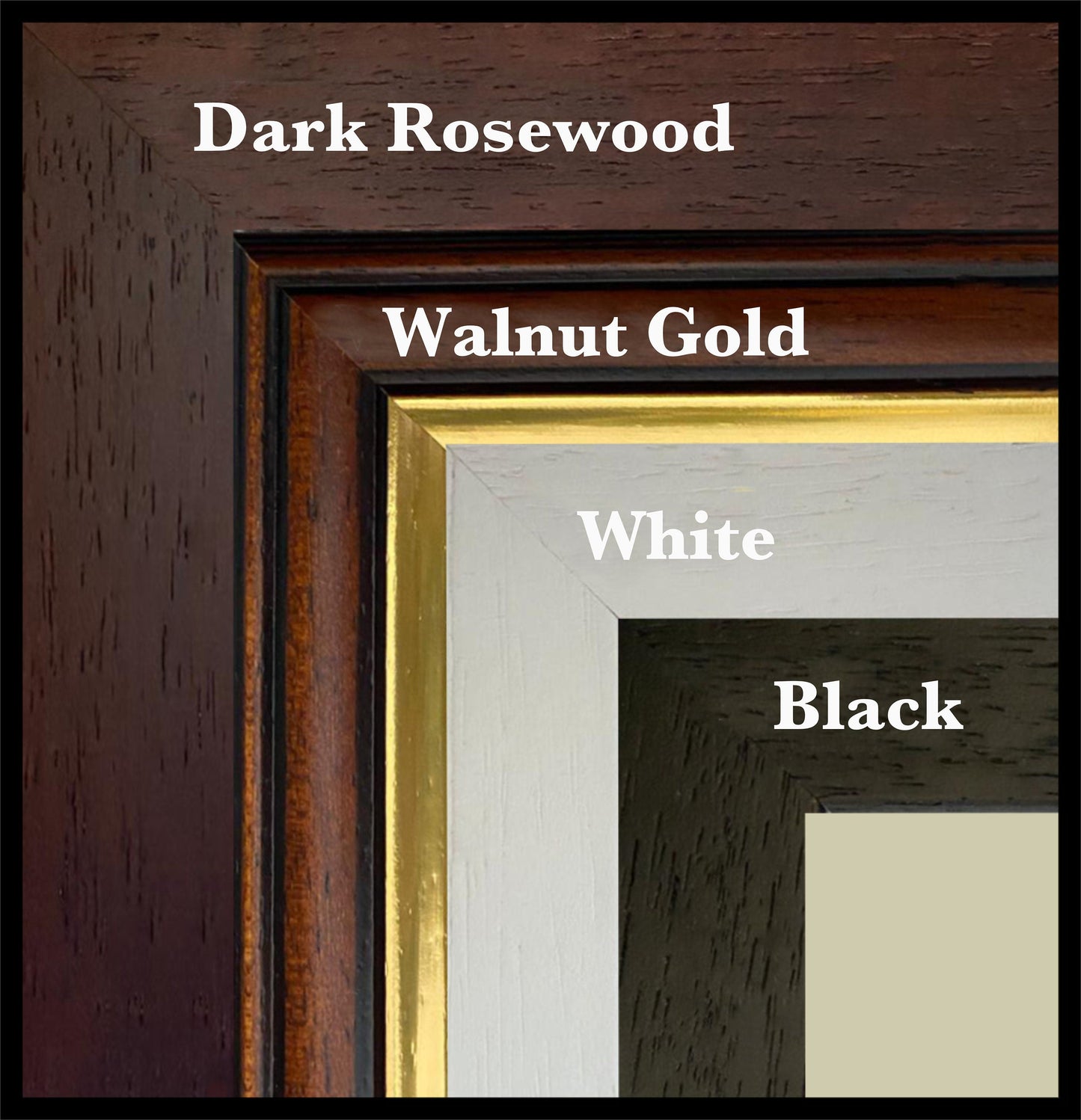
Mounting & Framing Mounts are antique white by default, but you may request black when ordering (please note this in your order). Our solid wood frames are made in the UK and finished with care. Frame options (dimensions): • Black/White: 20mm wide, 15mm deep • Dark Rosewood: 35mm wide, 15mm deep • Walnut Gold: 28mm wide, 14mm deep Frames include perspex glazing and MDF backs. As wood is a natural material, variations in tone and grain may occur. Not all sizes are available mounted. Sizes refer to the print area.