Bring Mediterranean elegance to your walls with this Sardinia and Corsica map (dated c.1715) — a beautifully detailed antique reproduction capturing two of the region’s most storied islands in classic early-18th-century cartographic style. With its old-world typography, coastline detail and timeless atlas character, it’s perfect for collectors of antique maps, lovers of Italian and French history, and anyone styling a study, hallway, office, library, or gallery wall. (A lovely nod, too, to Corsica’s most famous son — Napoleon — and the wider Mediterranean world of trade and travel.)
This is an edited reproduction of an antique map, created using antique and public domain source imagery.
Print quality
Printed on 300gsm fine art cotton rag paper using archival pigment-based inks for superb detail and longevity.
Mounting & Framing
Mounts are antique white by default (black mounts are available — leave a note with your order if you prefer black).
Frame details:
• Black/White — 20mm wide, 15mm deep
• Dark Rosewood — 35mm wide, 15mm deep
• Walnut Gold — 28mm wide, 14mm deep
Frames include perspex glazing and MDF backs. As wood is a natural material, variations in tone and grain may occur.
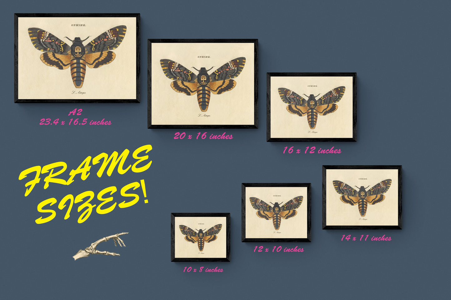
Not all sizes are available mounted. Sizes refer to the print area.