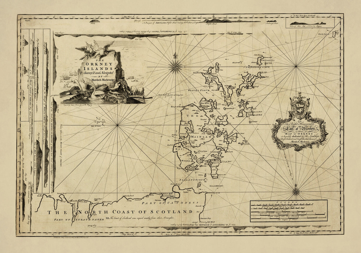
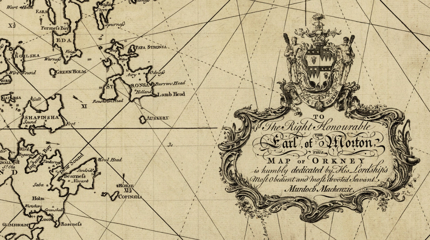
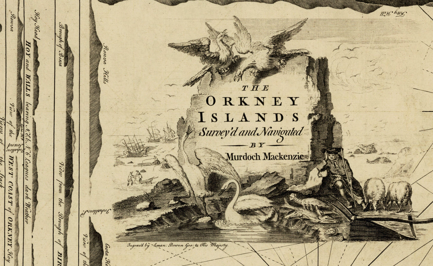
Orkney feels like the edge of the map in the best possible way — windswept cliffs, sea lochs, and islands scattered like stepping stones into the North Atlantic. This 1750 chart of the Orkney Islands, surveyed and navigated by Murdoch Mackenzie, captures that maritime world in crisp antique detail, made for sailors, navigators and map lovers long before tourism ever arrived. A beautiful vintage wall map for a study, hallway, coastal home, or anyone with Orkney ties and a love of Scottish history.
This is an edited reproduction made from antique/public domain source imagery.
Print quality Printed on 300gsm fine art cotton rag paper using archival pigment-based inks for superb quality and longevity.
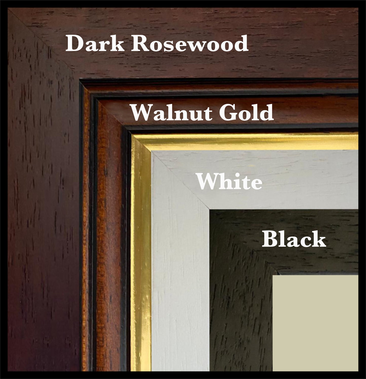
Mounting & Framing Mounts are antique white by default, but you may request black when ordering (please note this in your order). Our solid wood frames are made in the UK and finished with care. Frame options (dimensions): • Black/White: 20mm wide, 15mm deep • Dark Rosewood: 35mm wide, 15mm deep • Walnut Gold: 28mm wide, 14mm deep Frames include perspex glazing and MDF backs. As wood is a natural material, variations in tone and grain may occur. Not all sizes are available mounted. Sizes refer to the print area.