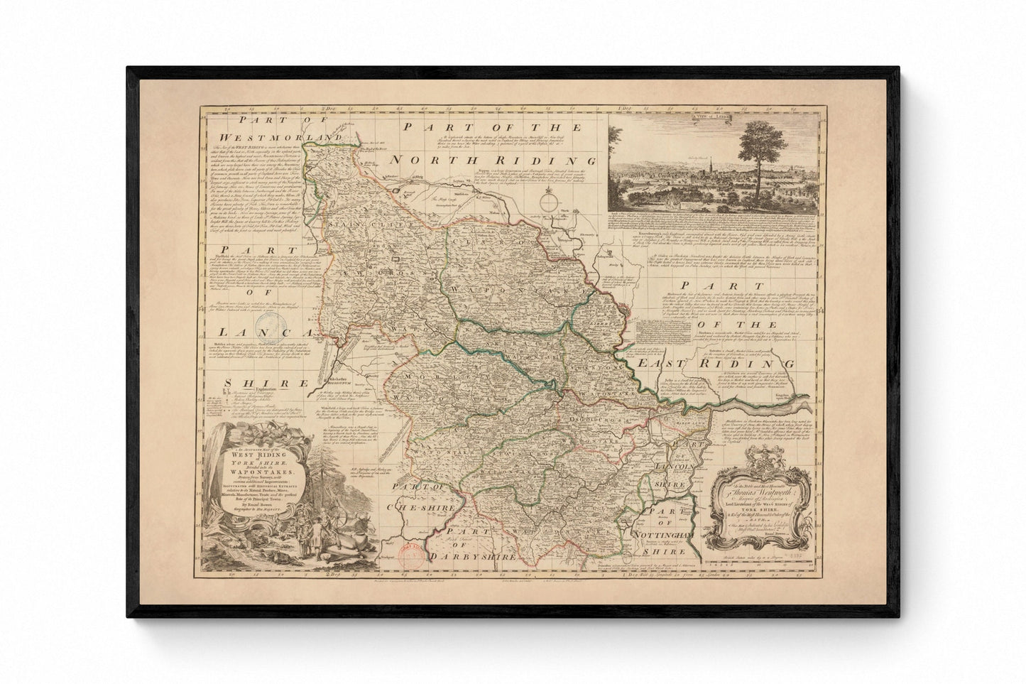
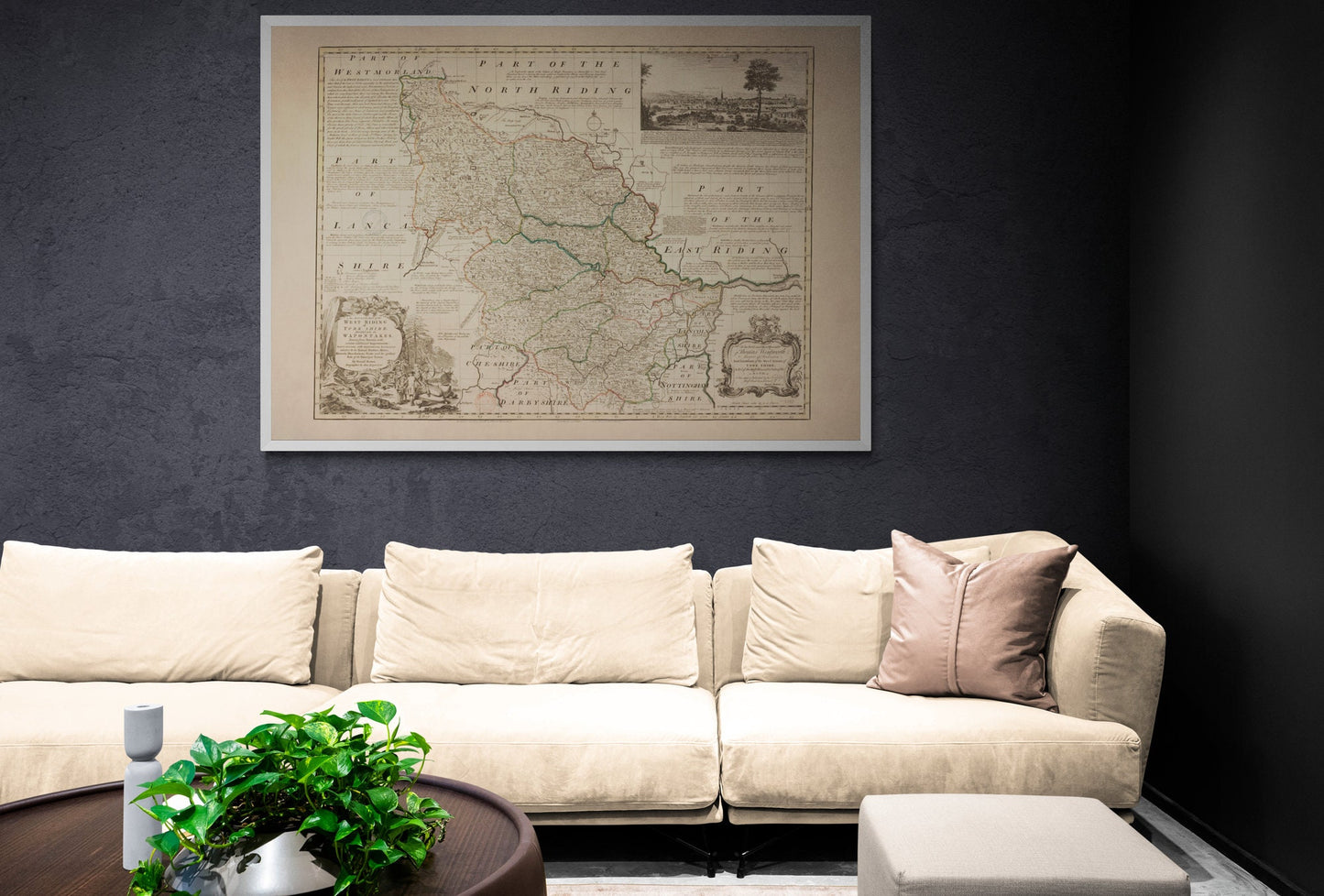
For anyone with roots in Yorkshire, this print has real pull. Focusing on the West Riding and dated 1749, it captures a part of the county long associated with industry, market towns and proud regional identity, all in the richly detailed style that makes antique British maps so enduring. With Leeds, Sheffield and the surrounding landscape set out in elegant vintage cartography, it feels both historic and personal - perfect for Yorkshire homes, local history lovers and anyone drawn to classic county map wall art.
This is an edited reproduction made from antique/public domain source imagery.
Print quality
Printed on beautifully textured 300gsm cotton rag paper using archival pigment inks, this vintage Yorkshire map print has a rich, gallery-quality finish designed to bring out every fine line, aged tone and intricate cartographic detail.
Mounting & Framing
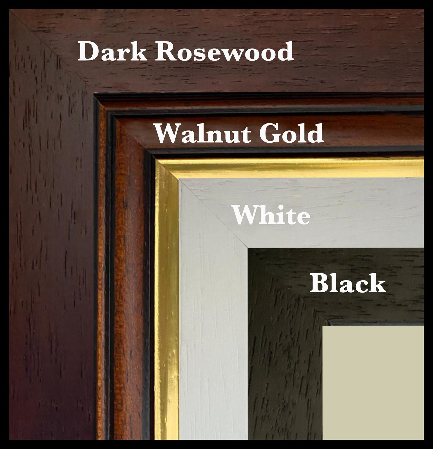
Mounting is available in antique white as standard, with black available on request.
Frame options:
• Black - 20mm wide, 15mm deep
• White - 20mm wide, 15mm deep
• Dark Rosewood - 35mm wide, 15mm deep
• Walnut Gold - 28mm wide, 14mm deep
All frames are UK-made from solid wood and finished with perspex glazing and an MDF back. As wood is a natural material, grain and finish may vary slightly from the photos.
Not all sizes are available mounted. Sizes refer to the print area.
Attribution
This is an edited version of the following public domain image:
https://commons.wikimedia.org/wiki/File:An_Accurate_Map_of_the_West_Riding_of_York_Shire,_Divided_into_its_Wapontakes_-_Drawn_from_Surveys,_with_various_additional_Improvements_-_Illustrated_with_Historical_Extracts_relative_to_its_Natural_Produce,_Mines..._-_btv1b53057092s.jpg


